Old Maps of Monroe City, Missouri for Academic Research
Study the evolution of Monroe City with 14 high-resolution historic maps. Whether you're teaching, researching, or modeling changes in land use, these maps provide essential visual documentation of urban, environmental, and geographic change.
- Analyze long-term change: Track patterns in development, transportation, and natural features.
- Ideal for environmental or urban studies: Support academic projects with primary historical map data.
- Use in the classroom or lab: Educators and researchers rely on these maps to bring historical context to life.
These maps are a powerful tool for teaching, research, and visualizing how Monroe City has changed over the decades.
Monroe City, MO maps
(14)- 1903 Map of Palmyra
 1903 Palmyra1903 Print · USGSNortheast Missouri at the start of the twentieth century was a landscape of river-valley farming and critical rail junctions. Researchers can trace early rural life through features like Sharp Mills, St. Pauls Ch., and the crossing of the Hannibal and St. Joseph R. R.2 unique versions available
 - 1948 Map of Quincy
 1948 Quincy1948 Print · USGSThe Mississippi and Illinois River valleys are captured at a post-war crossroads as rail and river travel met the expanding highway system. Genealogists can trace family settlements from Quincy to Hannibal and smaller towns like Vandalia and Jerseyville.2 unique versions available
 - 1956 Map of Quincy, 1967 Print
 1956 Quincy1967 Print · USGSThe river and rail corridors of the Illinois-Missouri border are documented here during the mid-1950s. Researchers can trace historic river landings and regional transit hubs from Quincy and Hannibal to smaller settlements like Meredosia and Roodhouse.3 unique versions available
 - 1959 Map of Monroe City, 1960 Print
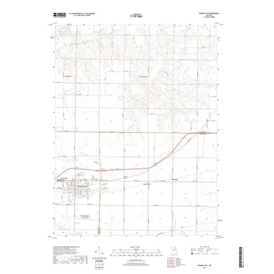
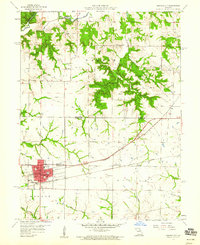 1959 Monroe City1960 Print · USGSMid-century Northeast Missouri comes into focus here at the tri-county junction of Marion, Ralls, and Monroe. Genealogists and rail historians can trace the paths of the Chicago Burlington and Quincy railroad, locate the St Judes Cem, or find rural schoolhouses like Stone Sch.2 unique versions available
 - 1959 Map of Hunnewell, 1961 Print
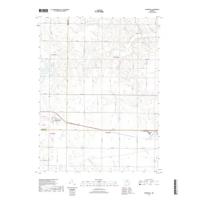
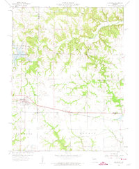 1959 Hunnewell1961 Print · USGSThe Hunnewell area at the end of the fifties reveals a landscape shaped by the Chicago Burlington and Quincy railroad and the newly established Hunnewell Lake. Genealogists can locate family landmarks like the How Cem, Union Chapel, and several local schoolhouses including Buckman Sch.2 unique versions available
 - 1986 Map of Quincy
 1986 Quincy1986 Print · USGSThe tri-state border region along the Mississippi River comes into focus during the mid-1980s. Researchers can trace the legacy of river towns and rail hubs like Quincy and Monroe City or locate landmarks such as Mount Olive Cem.2 unique versions available
 - 2012 Map of Monroe City, 2012 Print
 2012 Monroe City2012 Print · USGSCovers Monroe City, including Ely, Hassard, and other nearby areas
 - 2012 Map of Hunnewell, 2012 Print
 2012 Hunnewell2012 Print · USGSCovers Monroe City, including Hunnewell, Sharpsburg, and other nearby areas
 - 2014 Map of Monroe City, 2014 Print
 2014 Monroe City2014 Print · USGSCovers Monroe City, including Ely, Hassard, and other nearby areas
 - 2015 Map of Hunnewell, 2015 Print
 2015 Hunnewell2015 Print · USGSCovers Monroe City, including Hunnewell, Sharpsburg, and other nearby areas
 - 2017 Map of Monroe City, 2017 Print
 2017 Monroe City2017 Print · USGSCovers Monroe City, including Ely, Hassard, and other nearby areas
 - 2017 Map of Hunnewell, 2017 Print
 2017 Hunnewell2017 Print · USGSCovers Monroe City, including Hunnewell, Sharpsburg, and other nearby areas
 - 2021 Map of Monroe City, 2021 Print
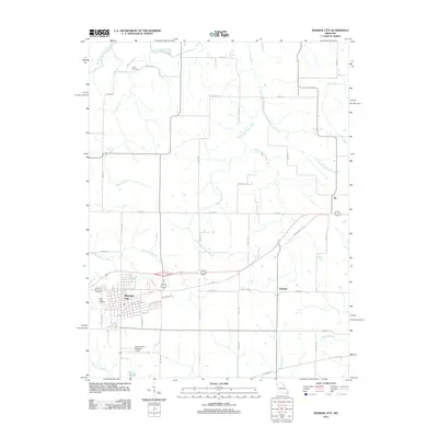
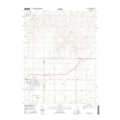
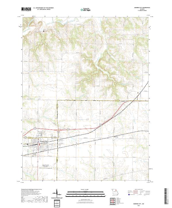 2021 Monroe City2021 Print · USGSMonroe City and its tri-county surroundings are mapped here during the early twenty-first century, showing the intersection of rural life and regional infrastructure. Genealogists and local historians can trace the town's detailed street grid and find landmarks like Saint Judes Cem, Cobb Cem, and the Captain Ben Smith Airfield.
 - 2021 Map of Hunnewell, 2021 Print
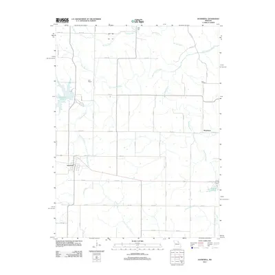
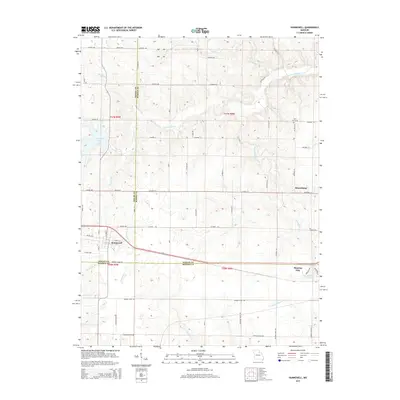
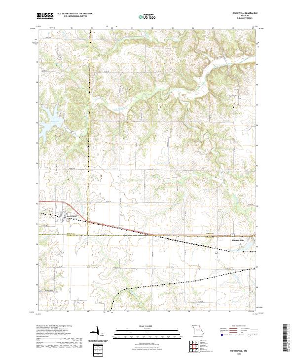 2021 Hunnewell2021 Print · USGSHunnewell and Monroe City anchor this rural landscape where three Missouri counties meet in the early twenty-first century. Genealogists and historians can trace local family landmarks like Howe Cem or explore the water systems of Hunnewell Lake and Indian Cr.
End of results
Showing maps 1-14 of 14
Top cities near Monroe City
- Palmyra historical maps
- Perry historical maps
- Center historical maps
- Hunnewell historical maps
- Rensselaer historical maps
- Stoutsville historical maps
See more
Frequently asked questions
- What are the different types of historical maps available for Monroe City?
- What is the oldest map of Monroe City?
- Where can I purchase historical maps of Monroe City for my home or office?
- Where can I download high-res historical maps of Monroe City?
- Are there historical topographic maps available for Monroe City?
- Is there historical aerial imagery available for Monroe City?
- Where are historical maps of Monroe City sourced from?