2000s (21st Century) Maps of Monroe City, Missouri
Explore 8 historic maps of Monroe City from the 2000s (21st Century). These maps offer a rare glimpse into what life looked like during the 2000s — showing old roads, neighborhoods, homes, and landmarks that have changed or disappeared over time.
Whether you're researching your family's past, planning a metal detecting trip, or studying how Monroe City's landscape evolved across the 2000s, these high-resolution maps are a powerful tool for exploring the history of this region.
- Focus on a specific era: All maps on this page are from the 2000s, giving you a focused view of this time period.
- See what’s changed: Compare century-old streets, trails, and buildings to today's modern landscape using overlays and satellite layers.
- Research with precision: Use these maps for genealogy, historical research, land use analysis, or educational projects.
- View, download, or print: Maps are fully viewable online in high resolution, and can be downloaded or printed for your own records.
Start exploring Monroe City's history through authentic maps from the 2000s. This is your window into the past.
Monroe City, MO maps
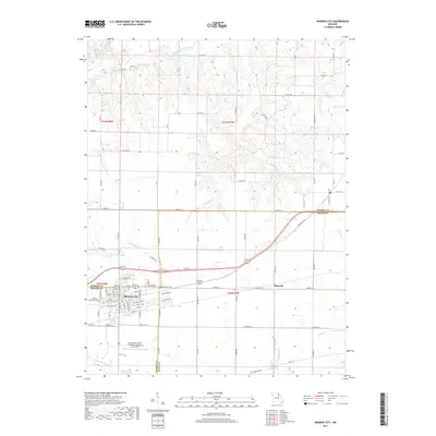
(8)- 2012 Map of Monroe City, 2012 Print
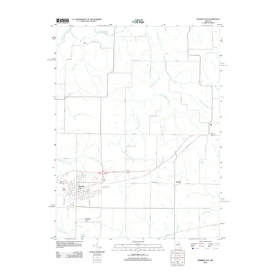 2012 Monroe City2012 Print · USGSCovers Monroe City, including Ely, Hassard, and other nearby areas
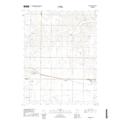
 - 2012 Map of Hunnewell, 2012 Print
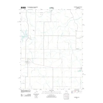 2012 Hunnewell2012 Print · USGSCovers Monroe City, including Hunnewell, Sharpsburg, and other nearby areas
 - 2014 Map of Monroe City, 2014 Print
 2014 Monroe City2014 Print · USGSCovers Monroe City, including Ely, Hassard, and other nearby areas
 - 2015 Map of Hunnewell, 2015 Print
 2015 Hunnewell2015 Print · USGSCovers Monroe City, including Hunnewell, Sharpsburg, and other nearby areas
 - 2017 Map of Monroe City, 2017 Print
 2017 Monroe City2017 Print · USGSCovers Monroe City, including Ely, Hassard, and other nearby areas
 - 2017 Map of Hunnewell, 2017 Print
 2017 Hunnewell2017 Print · USGSCovers Monroe City, including Hunnewell, Sharpsburg, and other nearby areas
 - 2021 Map of Monroe City, 2021 Print
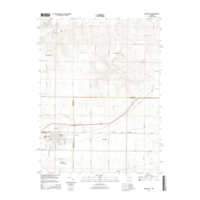
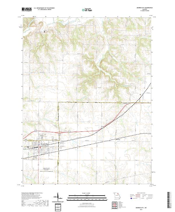 2021 Monroe City2021 Print · USGSMonroe City and its tri-county surroundings are mapped here during the early twenty-first century, showing the intersection of rural life and regional infrastructure. Genealogists and local historians can trace the town's detailed street grid and find landmarks like Saint Judes Cem, Cobb Cem, and the Captain Ben Smith Airfield.
 - 2021 Map of Hunnewell, 2021 Print
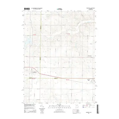
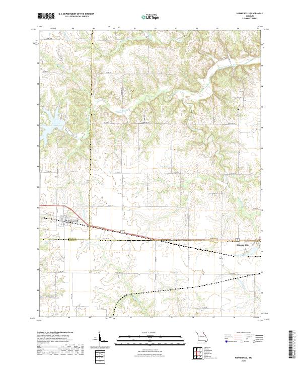 2021 Hunnewell2021 Print · USGSHunnewell and Monroe City anchor this rural landscape where three Missouri counties meet in the early twenty-first century. Genealogists and historians can trace local family landmarks like Howe Cem or explore the water systems of Hunnewell Lake and Indian Cr.
End of results
Showing maps 1-8 of 8
Top cities near Monroe City
- Palmyra historical maps
- Perry historical maps
- Center historical maps
- Hunnewell historical maps
- Rensselaer historical maps
- Stoutsville historical maps
See more
Frequently asked questions
- What are the different types of historical maps available for Monroe City?
- What is the oldest map of Monroe City?
- Where can I purchase historical maps of Monroe City for my home or office?
- Where can I download high-res historical maps of Monroe City?
- Are there historical topographic maps available for Monroe City?
- Is there historical aerial imagery available for Monroe City?
- Where are historical maps of Monroe City sourced from?