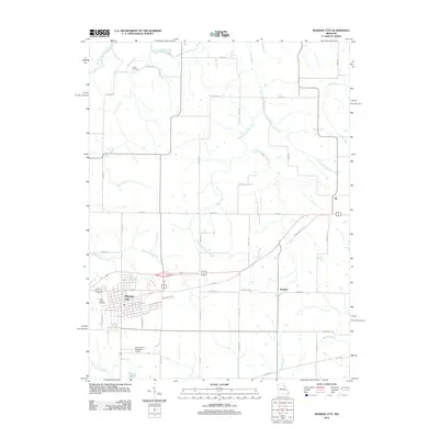
2012 Map of Monroe City
USGS Topo · Published 2012About this map
Monroe City serves as the primary hub of this northern Missouri landscape, situated at the junction of several key regional transportation corridors. The street grid of the city is well-defined, bordered by S Border St and S W Border St, with an industrial sector developing along Industrial Dr. To the east, the smaller settlements of Ely and Hassard mark the rural landscape, which is heavily defined by an intricate network of drainage systems. These include the West Branch Sees Creek and East Branch Sees Creek, which flow through the northern and eastern portions of the quadrangle. Local heritage is preserved at sites like Cobb Cemetery and Saint Judes Cemetery, while the Monroe City Regional Airport and Monroe Lake B represent modern infrastructure and water management in the region south of the city center.
Find a feature on this map
59 named features on this map. Tap any name to fly to it.
Don’t see what you’re looking for? This feature index may not catch every label — zoom into the map to look around manually.
Map Details
Editions of this 2012 Monroe City Map
This is the sole edition of this map. No revisions or reprints were ever made.
Other maps of this area

1903 · Palmyra
USGS Topo · 1:125,000

1948 · Quincy
USGS Topo · 1:250,000

1949 · Palmyra
USGS Topo · 1:24,000

1949 · Philadelphia
USGS Topo · 1:24,000

1950 · Palmyra
USGS Topo · 1:24,000

1950 · Philadelphia
USGS Topo · 1:24,000

1956 · Quincy
USGS Topo · 1:250,000
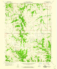
1958 · Rensselaer
USGS Topo · 1:24,000

1959 · Monroe City
USGS Topo · 1:24,000

1959 · Joanna
USGS Topo · 1:24,000