Old Maps of Barnett, Missouri for Metal Detecting
Plan your next treasure hunt with 23 historic maps of Barnett. Find old homesites, ghost towns, trails, and gathering spots that may be lost to time — perfect for identifying promising metal detecting locations.
- Locate forgotten sites: Uncover places like long-lost settlements, abandoned rail lines, or gathering spots.
- Plan better hunts: Use map overlays combined with LiDAR or satellite views to narrow in on historically rich areas.
- Made for detectorists: Thousands of hobbyists use these maps to discover relics, coins, and hidden history.
Use these historic maps to boost your research and find new opportunities beneath the surface of Barnett.
Barnett, MO maps
(23)- 1888 Map of Versailles
 1888 Versailles1888 Print · USGSCentral Missouri in the late 1880s shows the winding Osage River valley long before the creation of the Lake of the Ozarks. Researchers can trace the original locations of Linn Creek, find the Osage Iron Works, and follow the Missouri Pacific Railroad to its end in Versailles.
 - 1893 Map of Versailles
 1893 Versailles1893 Print · USGSCentral Missouri's river-and-rail landscape is captured here in the late nineteenth century, decades before the valley was transformed by dams. Genealogists can trace family roots in early settlements like Versailles, Bagnell, and the original site of Linn Creek.4 unique versions available
 - 1904 Map of Eldon
 1904 Eldon1904 Print · USGSMiller and Morgan counties thrived at the turn of the century as the new railroad network connected agricultural hills to outside markets. Genealogists can trace family roots through early settlements like Barnett Sta. and Olean or locate the historic Simpson Coalmine.
 - 1935 Map of Rocky Mount
 1935 Rocky Mount1935 Print · USGSThe Morgan and Miller County borderlands are shown here in the mid-1930s as the northern arms of the Lake of the Ozarks began to shape the terrain. Researchers can locate rural landmarks like the Stover Coal Bank, the Rocky Mount PO, and several family cemeteries.
 - 1947 Map of Jefferson City, 1949 Print
 1947 Jefferson City1949 Print · USGSCentral Missouri and the northern Ozarks come into focus in this late 1940s survey of the river-and-rail landscape. Genealogists and historians can trace the growth of Jefferson City and Sedalia or locate family roots near Bagnell Dam and the Lake of the Ozarks.
 - 1954 Map of Jefferson City
 1954 Jefferson City1954 Print · USGSCentral Missouri in the early postwar years showcases a landscape defined by the winding Lake of the Ozarks and the state capital at Jefferson City. Researchers can trace the mid-century rail networks of the Missouri Pacific RR and locate rural communities like Tuscumbia, St Elizabeth, and St Anthony.2 unique versions available
 - 1955 Map of Jefferson City, 1967 Print
 1955 Jefferson City1967 Print · USGSCentral Missouri in the mid-fifties is defined by the winding Missouri River and the expanding reach of Lake of the Ozarks. Researchers can trace the rail corridors of the Missouri Pacific or locate the early footprint of Whiteman AFB and Jefferson City.4 unique versions available
 - 1957 Map of Rocky Mount
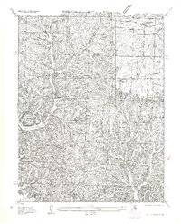 1957 Rocky Mount1957 Print · USGSCentral Missouri hill country meets the rising waters of the lake in the mid-1930s. Genealogists and historians can locate old landmarks like Barnett Sta, the Stover Coal Bank, and small country burial grounds such as Dooley Cem.
 - 1958 Map of Jefferson City
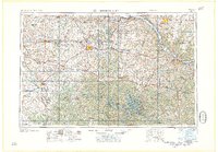 1958 Jefferson City1958 Print · USGSCentral Missouri in the late fifties shows a region transforming through the growth of Whiteman Air Force Base and the Lake of the Ozarks. Researchers can trace rail lines like the Missouri Pacific or find family roots at Enloe Cemetery and Mount Pleasant Cem.
 - 1959 Map of Jefferson City
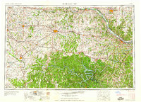 1959 Jefferson City1959 Print · USGSCentral Missouri is captured during the mid-fifties as the river economy and rail networks like the Missouri Pacific met the rise of the automobile. Local researchers can trace family landmarks and rural infrastructure from the Lake of the Ozarks up to Providence Cemetery and Knob Noster State Park.
 - 1959 Map of Rocky Mount, 1960 Print
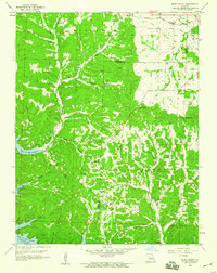 1959 Rocky Mount1960 Print · USGSThe northern reaches of the Lake of the Ozarks are captured here in the late fifties as the reservoir reshaped the Morgan County landscape. Genealogists and researchers can trace family landmarks like the Taylor Cem, Union Ch, and the defunct Stover Mine.2 unique versions available
 - 1960 Map of Barnett, 1961 Print
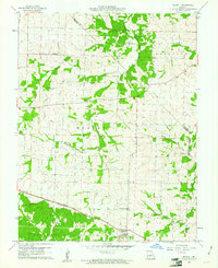 1960 Barnett1961 Print · USGSBarnett and the rural townships of central Missouri appear here just as the new decade began. Researchers can trace family roots at Kelsay Cem or follow the Chicago Rock Island and Pacific rail line past the Simpson Mine.2 unique versions available
 - 1960 Map of Eldon, 1965 Print
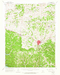 1960 Eldon1965 Print · USGSMid-century Miller County is centered around the railroad town of Eldon and the developing northern reaches of the Lake of the Ozarks. Researchers can locate rural landmarks like Hopewell Sch, the Simpson Mine, and several family cemeteries including Kelsey Cem.
 - 1983 Map of Rocky Mount
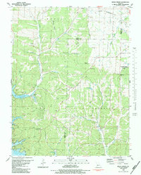 1983 Rocky Mount1983 Print · USGSThe Morgan and Miller County borderlands are shown here in the early 1980s as recreation and rural life converge near the Lake of the Ozarks. Genealogists can trace local roots through the Sidebottom Cem, Taylor Cem, and Dooley Chapel.
 - 1983 Map of Lake Of The Ozarks, 1984 Print
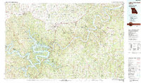 1983 Lake Of The Ozarks1984 Print · USGSThe Lake of the Ozarks region in the early eighties shows a landscape of deep river bends and growing recreation. Genealogists can trace family names and small settlements from Versailles to Meta and locate old mining sites like Tiff Mine.
 - 2011 Map of Rocky Mount, 2011 Print
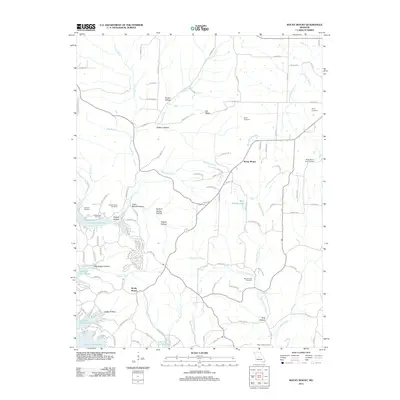 2011 Rocky Mount2011 Print · USGSRocky Mount and the northern reaches of the Lake of the Ozarks are shown here in the early twenty-first century. Genealogists can trace family burial sites like Blue Springs Cemetery and Taylor Cemetery near the Rocky Mount Lookout Tower.
 - 2011 Map of Barnett, 2011 Print
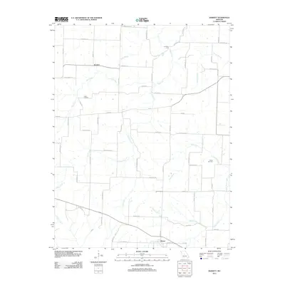 2011 Barnett2011 Print · USGSThis central Missouri landscape near the turn of the decade showcases the rural crossroads of Barnett and Excelsior. Researchers can trace local lineage at Kelsay Cemetery and locate historical water crossings like Coal Bank Ford along Burris Fork.
 - 2015 Map of Barnett, 2015 Print
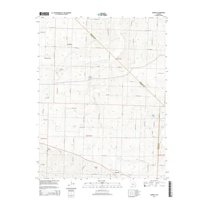 2015 Barnett2015 Print · USGSBarnett and the rural crossroads of Morgan County are shown here during the mid-2010s, capturing the area's agricultural character. Researchers can trace family history at Big Rock Cemetery and Hopewell Union Church Cemetery or follow the waters of Burris Fork and Gracey Cr.
 - 2015 Map of Rocky Mount, 2015 Print
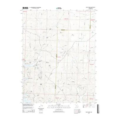 2015 Rocky Mount2015 Print · USGSThe Morgan and Miller county line crosses through this part of the northern Ozarks during the mid-2010s. Researchers can locate numerous family burial sites, including White and Dooley, or trace the rugged hollows around Rocky Mount.
 - 2017 Map of Barnett, 2017 Print
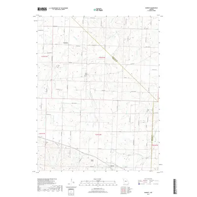 2017 Barnett2017 Print · USGSThe community of Excelsior and the surrounding Morgan County farmstead landscape are captured in this mid-2010s survey. Genealogists can locate several local burial sites, including Big Rock Cem and Hopewell Union Church Cem, near the waters of Burris Fork.
 - 2017 Map of Rocky Mount, 2017 Print
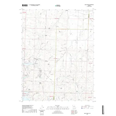 2017 Rocky Mount2017 Print · USGSThe Morgan and Miller County line comes into focus in 2017, showing the rugged ridge-and-hollow country leading down to the Lake of the Ozarks. Researchers can trace local lineage through several small burial sites like Sidebottom Cem, Dooley Cem, and Blue Springs Cem.
 - 2021 Map of Rocky Mount, 2021 Print
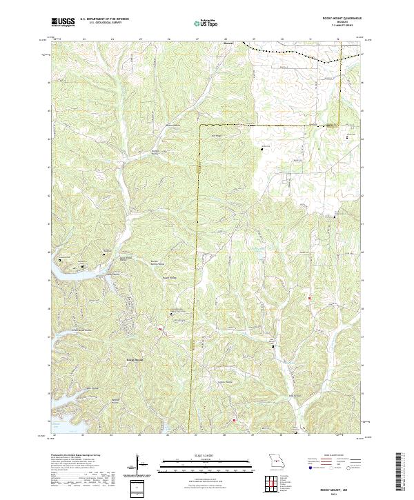 2021 Rocky Mount2021 Print · USGSMorgan County is captured here in the early twenty-first century, showing the rural development around the Missouri uplands. Genealogists and local historians can trace family locations near the Dooley Chapel Cem and the communities of Barnett and Rocky Mount.
 - 2021 Map of Barnett, 2021 Print
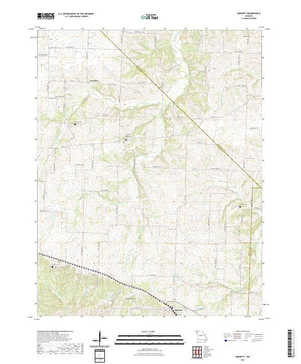 2021 Barnett2021 Print · USGSThe community of Barnett and the settlement of Excelsior are captured here in the early twenty-first century. Researchers can trace rural genealogy and land use through Hopewell Union Church Cem, Big Rock Cem, and the creek-fed terrain of Routon Hollow.
End of results
Showing maps 1-23 of 23
Top cities near Barnett
- Eldon historical maps
- Osage Beach historical maps
- Versailles historical maps
- Four Seasons historical maps
- Lake Ozark historical maps
- Laurie historical maps
See more
Frequently asked questions
- What are the different types of historical maps available for Barnett?
- What is the oldest map of Barnett?
- Where can I purchase historical maps of Barnett for my home or office?
- Where can I download high-res historical maps of Barnett?
- Are there historical topographic maps available for Barnett?
- Is there historical aerial imagery available for Barnett?
- Where are historical maps of Barnett sourced from?