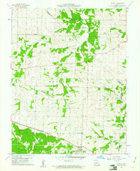
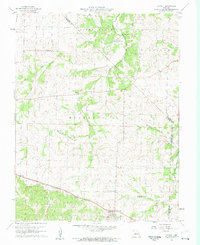
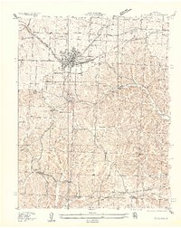
1960 Map of Barnett
USGS Topo · Published 1961About this map
Barnett and the surrounding agricultural uplands of Morgan County are defined here by a network of rural churches and family landmarks in the early 1960s. The Chicago Rock Island and Pacific railroad cuts through the southern landscape, passing near the Fish Hatchery and the small settlement of Wilkes. Local industry and history are visible in the north at the Simpson Mine and across the numerous watercourses like Moreau Creek and Beard Creek that drain the townships of Pilot Grove, Harrison, and Moreau. For genealogists and local historians, the map accurately preserves the locations of the Hopewell Ch, Kelsay Cem, and Phillips Cem. The presence of sites like Coal Bank Ford suggests a landscape where older river crossings remained essential to local movement even as the modern road system developed.
Find a feature on this map
30 named features on this map. Tap any name to fly to it.
Don’t see what you’re looking for? This feature index may not catch every label — zoom into the map to look around manually.
Map Details
Editions of this 1960 Barnett Map
2 editions found
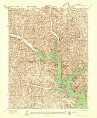
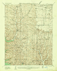
Other maps of this area

1888 · Versailles
USGS Topo · 1:125,000

1888 · Boonville
USGS Topo · 1:125,000

1893 · Versailles
USGS Topo · 1:125,000

1904 · Eldon
USGS Topo · 1:62,500

1904 · Gravois Mills
USGS Topo · 1:62,500
1935 · Gravois Mills
USGS Topo · 1:24,000
1935 · Rocky Mount
USGS Topo · 1:24,000
1935 · Eldon
USGS Topo · 1:24,000

1947 · Jefferson City
USGS Topo · 1:250,000
1949 · Gravois Mills
USGS Topo · 1:62,500