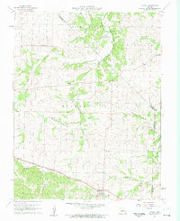
1960 Map of Barnett
USGS Topo · Published 1961About this map
The town of Barnett serves as a central hub on this 1960s survey, situated along the Chicago and Pacific Rock Island railroad line. The landscape is defined by the convergence of several townships, including Pilot Grove, Harrison, Moreau, and Saline, where the borders of Moniteau, Morgan, and Miller counties meet. The region's agricultural and rural character is evident in the scatter of local institutions, such as Hopewell Church and the nearby Kelsey Cemetery, as well as the smaller settlements of Excelsior and Hopewell.
Find a feature on this map
28 named features on this map. Tap any name to fly to it.
Don’t see what you’re looking for? This feature index may not catch every label — zoom into the map to look around manually.
Map Details
Editions of this 1960 Barnett Map
2 editions found
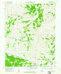
Other maps of this area

1888 · Versailles
USGS Topo · 1:125,000

1888 · Boonville
USGS Topo · 1:125,000

1893 · Versailles
USGS Topo · 1:125,000

1904 · Eldon
USGS Topo · 1:62,500

1904 · Gravois Mills
USGS Topo · 1:62,500

1935 · Gravois Mills
USGS Topo · 1:24,000

1935 · Rocky Mount
USGS Topo · 1:24,000
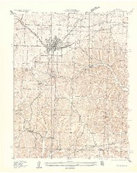
1935 · Eldon
USGS Topo · 1:24,000

1947 · Jefferson City
USGS Topo · 1:250,000

1949 · Gravois Mills
USGS Topo · 1:62,500