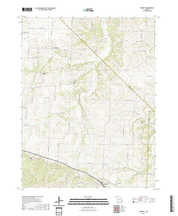
2021 Map of Barnett
USGS Topo · Published 2021About this map
The town of Barnett anchors the southern portion of this landscape, situated near the intersection of several local routes such as Hillpoint Rd and Hope RD. Moving north, the settlement of Excelsior appears amidst a network of creek branches and rolling topography. The region is defined by its numerous small waterways, including Burris Fork, Rocky Br, and Colburn Br, which carve through the terrain and influence the winding paths of rural roads like Kelsey Rd and Beard Creek Rd.
Find a feature on this map
72 named features on this map. Tap any name to fly to it.
Don’t see what you’re looking for? This feature index may not catch every label — zoom into the map to look around manually.
Map Details
Editions of this 2021 Barnett Map
This is the sole edition of this map. No revisions or reprints were ever made.
Other maps of this area

1888 · Versailles
USGS Topo · 1:125,000

1888 · Boonville
USGS Topo · 1:125,000

1893 · Versailles
USGS Topo · 1:125,000

1904 · Eldon
USGS Topo · 1:62,500

1904 · Gravois Mills
USGS Topo · 1:62,500

1935 · Gravois Mills
USGS Topo · 1:24,000

1935 · Rocky Mount
USGS Topo · 1:24,000
1935 · Eldon
USGS Topo · 1:24,000

1947 · Jefferson City
USGS Topo · 1:250,000

1949 · Gravois Mills
USGS Topo · 1:62,500