Old Maps of North Lilbourn, Missouri for Hiking & Exploration
Hike through history with 17 historic maps of North Lilbourn. Explore old trails, ghost towns, and forgotten backroads — perfect for outdoor adventurers and local explorers.
- Rediscover forgotten places: Map out old mining camps, roads, and footpaths that no longer exist on modern maps.
- Layer with modern tools: Combine with LiDAR or satellite views to plan hikes through historical terrain.
- Made for exploration: Popular among hikers, overlanders, and local history lovers.
Use these maps to find adventure and explore the hidden past of North Lilbourn.
North Lilbourn, MO maps
(17)- 1939 Map of New Madrid, 1941 Print
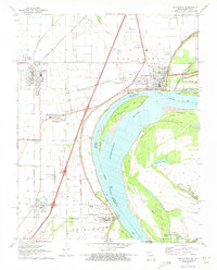
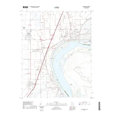
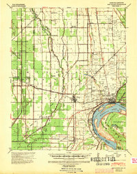 1939 New Madrid1941 Print · USGSThe Missouri Bootheel is documented here during the late thirties, centered on the dramatic New Madrid Bend of the Mississippi River. Trace the early drainage networks and rail lines that shaped towns like New Madrid, Lilbourn, and Catron.
 - 1951 Map of New Madrid SE, 1953 Print
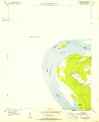 1951 New Madrid SE1953 Print · USGSThe Mississippi River's dramatic loops define this mid-century survey of the isolated Kentucky Bend region. Researchers can trace the shifting state lines and river features like Kentucky Point, Watson Lake, and the sandbars of Madrid Bar.3 unique versions available
 - 1954 Map of New Madrid, 1955 Print
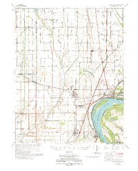
 1954 New Madrid1955 Print · USGSThe Missouri Bootheel in the early fifties shows a landscape of reclaimed bottomlands and riverfront commerce. Genealogists can trace family footprints at the Rosenwald School, Hunter Cem, and small rural junctions like Ristine or La Forge.2 unique versions available
 - 1956 Map of Dyersburg, 1960 Print
 1956 Dyersburg1960 Print · USGSThe Four Rivers region comes alive in the mid-fifties, capturing the intricate borderlands of Tennessee, Kentucky, and Missouri. Genealogists and historians can trace the rail-and-river networks connecting Dyersburg, Caruthersville, and the shoreline of Reelfoot Lake.4 unique versions available
 - 1971 Map of Catron, 1973 Print
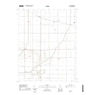
 1971 Catron1973 Print · USGSThe Missouri Bootheel's drainage and rail systems are meticulously documented here in the early seventies. Genealogists and local historians can trace the foundations of Catron, Baderville, and Lone Star along the St Louis Southwestern railroad.
 - 1971 Map of New Madrid, 1973 Print
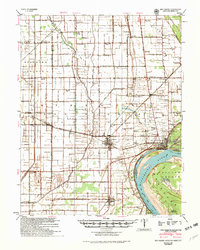
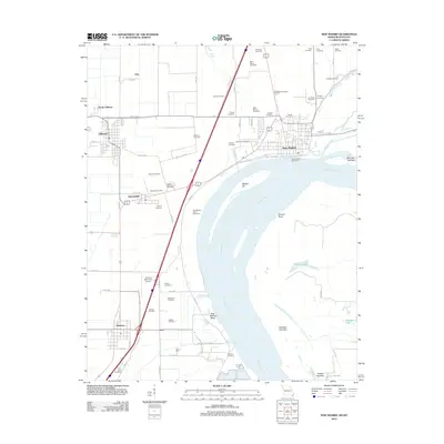
 1971 New Madrid1973 Print · USGSThe Mississippi River bend at New Madrid is captured here in the early 1970s, showing a landscape defined by levees and rail lines. Researchers can trace numerous family burial sites like Sand Hill Cem or locate the New Madrid County Airport and Indian Mound.2 unique versions available
 - 1973 Map of New Madrid
 1973 New Madrid1973 Print · USGSMissouri's Bootheel region shows its deep connection to the river and rail lines during the early seventies. Genealogists and historians can trace family roots through numerous sites like Pilgrim Rest Ch, Howardville, and St Marys Cem.
 - 1985 Map of Sikeston, 1986 Print
 1985 Sikeston1986 Print · USGSThe Missouri Bootheel and the four-state river convergence are captured in the mid-eighties as the modern agricultural and rail networks matured. Researchers can locate regional landmarks like the Towosahgy State Historic Site, Oak Grove Cem, and towns along the St Louis Southwestern Railroad.2 unique versions available
 - 2010 Map of New Madrid, 2010 Print
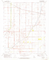
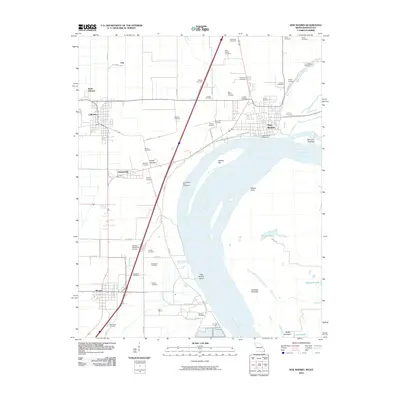 2010 New Madrid2010 Print · USGSCovers North Lilbourn, including New Madrid, Lilbourn, and other nearby areas
 - 2012 Map of Catron, 2012 Print
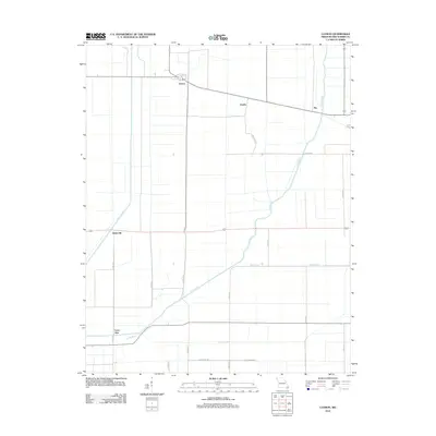 2012 Catron2012 Print · USGSCovers North Lilbourn, including Catron, Baderville, and other nearby areas
 - 2012 Map of New Madrid, 2012 Print
 2012 New Madrid2012 Print · USGSCovers North Lilbourn, including New Madrid, Lilbourn, and other nearby areas
 - 2015 Map of New Madrid, 2015 Print
 2015 New Madrid2015 Print · USGSCovers North Lilbourn, including New Madrid, Lilbourn, and other nearby areas
 - 2015 Map of Catron, 2015 Print
 2015 Catron2015 Print · USGSCovers North Lilbourn, including Catron, Baderville, and other nearby areas
 - 2017 Map of Catron, 2017 Print
 2017 Catron2017 Print · USGSCovers North Lilbourn, including Catron, Baderville, and other nearby areas
 - 2017 Map of New Madrid, 2017 Print
 2017 New Madrid2017 Print · USGSCovers North Lilbourn, including New Madrid, Lilbourn, and other nearby areas
 - 2021 Map of Catron, 2021 Print
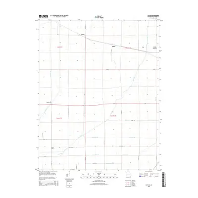
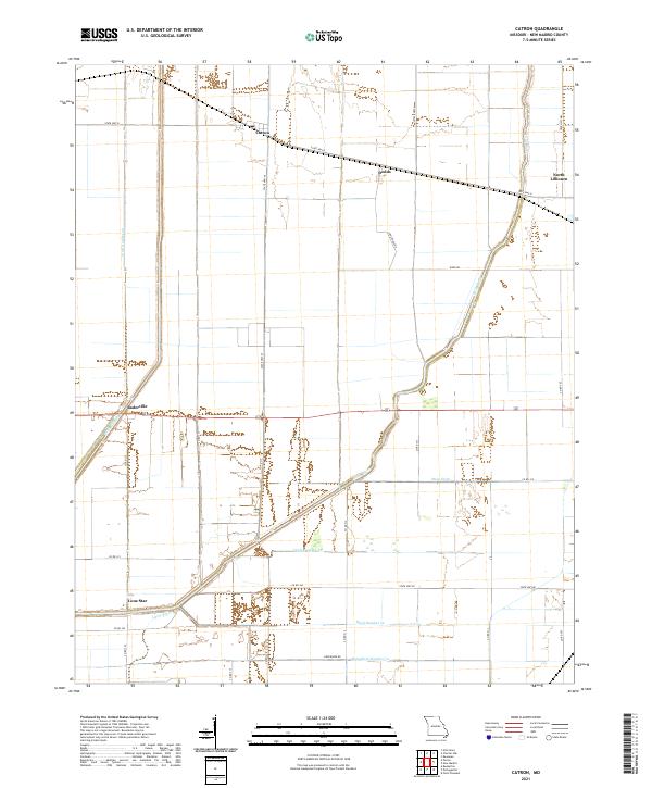 2021 Catron2021 Print · USGSNew Madrid County's reclaimed lowlands are documented here in the early twenty-first century, showing a landscape defined by industrial-scale drainage. Researchers can trace rural settlement patterns and water management history through sites like Catron, Lone Star, and the complex Main Ditch system.
 - 2021 Map of New Madrid, 2021 Print
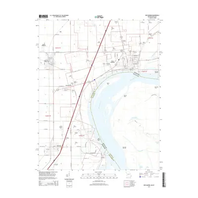
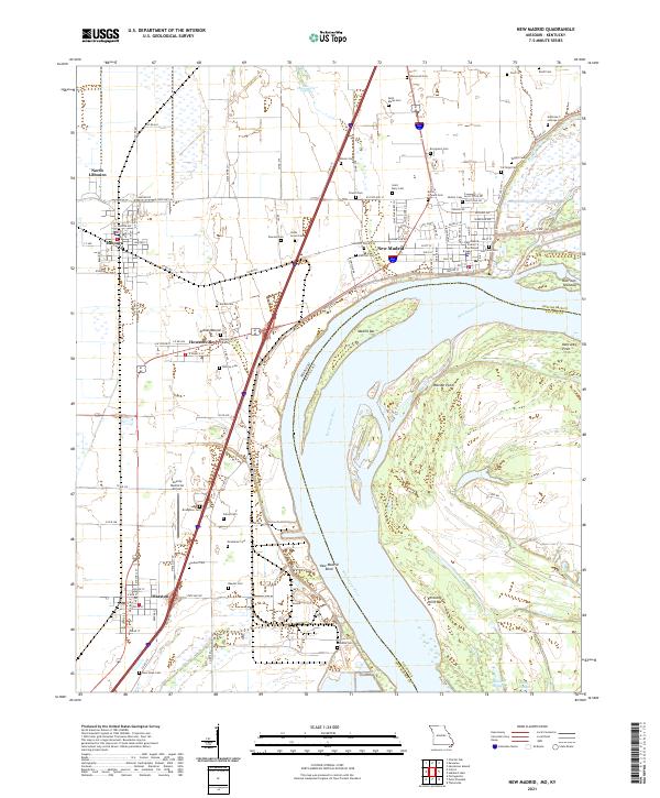 2021 New Madrid2021 Print · USGSThe Mississippi River forms its famous bend here in the early 2020s, shaping a landscape of riverfront towns and ancient earthworks. Genealogists can trace family names at Evergreen Cem or Hatcher Cem, and explore the site of the Indian Mound.
End of results
Showing maps 1-17 of 17
Top cities near North Lilbourn
- Tiptonville historical maps
- East Prairie historical maps
- New Madrid historical maps
- Lilbourn historical maps
- Parma historical maps
- Matthews historical maps
See more
Frequently asked questions
- What are the different types of historical maps available for North Lilbourn?
- What is the oldest map of North Lilbourn?
- Where can I purchase historical maps of North Lilbourn for my home or office?
- Where can I download high-res historical maps of North Lilbourn?
- Are there historical topographic maps available for North Lilbourn?
- Is there historical aerial imagery available for North Lilbourn?
- Where are historical maps of North Lilbourn sourced from?