2020s Maps of Newton County, Missouri
Explore 17 historic maps of Newton County from the 2020s. These maps offer a rare glimpse into what life looked like during the 2020s — showing old roads, neighborhoods, homes, and landmarks that have changed or disappeared over time.
Whether you're researching your family's past, planning a metal detecting trip, or studying how Newton County's landscape evolved across the 2020s, these high-resolution maps are a powerful tool for exploring the history of this region.
- Focus on a specific era: All maps on this page are from the 2020s, giving you a focused view of this time period.
- See what’s changed: Compare century-old streets, trails, and buildings to today's modern landscape using overlays and satellite layers.
- Research with precision: Use these maps for genealogy, historical research, land use analysis, or educational projects.
- View, download, or print: Maps are fully viewable online in high resolution, and can be downloaded or printed for your own records.
Start exploring Newton County's history through authentic maps from the 2020s. This is your window into the past.
Newton County, MO maps
(17)- 2021 Map of Racine, 2021 Print
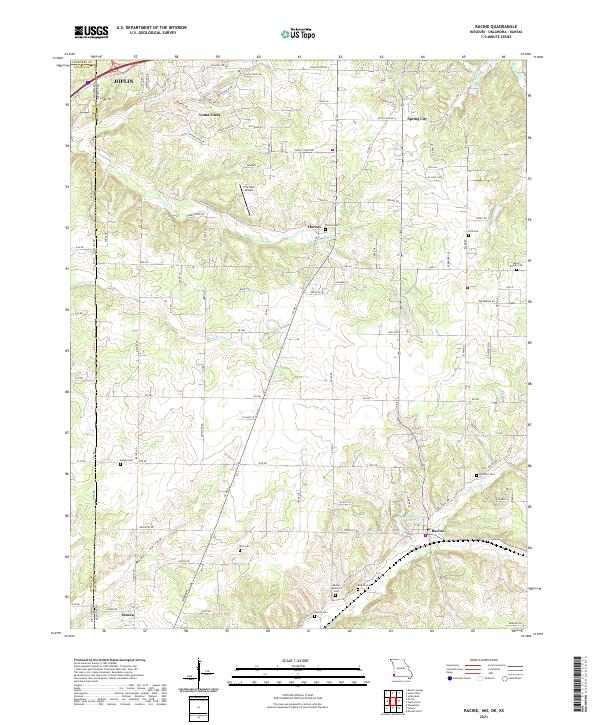 2021 Racine2021 Print · USGSNewton County, Missouri and Ottawa County, Oklahoma meet along this borderland as it appeared in the early 2020s. Genealogists and local historians can trace family roots through numerous sites like Moser Family Cemetery, Kirk Cemetery, and Burson Cemetery.
 - 2021 Map of Stella, 2021 Print
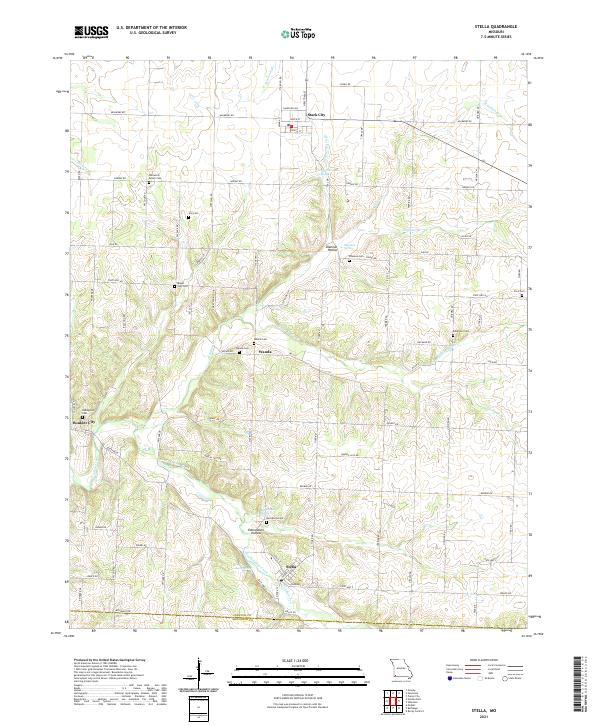 2021 Stella2021 Print · USGSNewton and McDonald counties appear in this recent survey as a landscape of rural communities and intricate valley springs. Genealogists can locate family burial sites like William M Brown Cem, Ivie Cem, and Robertson Cem across the hills surrounding Stella.
 - 2021 Map of Granby, 2021 Print
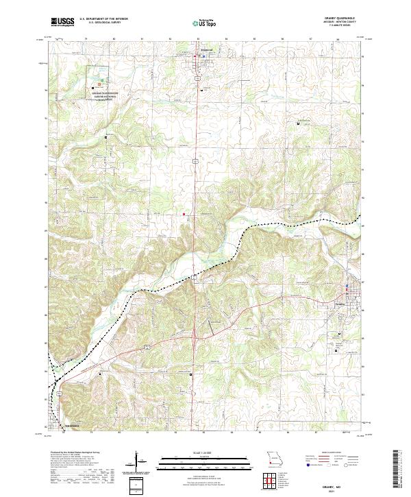 2021 Granby2021 Print · USGSMissouri's Newton County is captured here in the early twenty-first century, showing the rural corridor between Diamond and Granby. Researchers can pinpoint numerous burial grounds like Hazelwood Cem and Boyd Cem, or explore the grounds of the George Washington Carver National Monument.
 - 2021 Map of Neosho West, 2021 Print
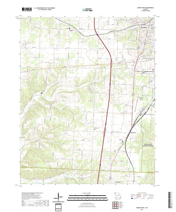 2021 Neosho West2021 Print · USGSNewton County in the early twenty-first century reveals a landscape where traditional Ozark settlements meet modern aviation and transit. Genealogists can trace family connections through sites like Belfast Cem, New Salem Cem, and the rural crossroads of McElhany.
 - 2021 Map of Tipton Ford, 2021 Print
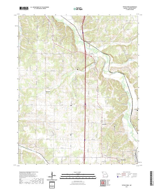 2021 Tipton Ford2021 Print · USGSNewton County's rural corridors and creek valleys are documented here in the early 2020s as the area maintains its quiet, small-town character. Genealogists can locate several local burial sites including Pleasant Hill Cem and Thrasher Cem near Spurgeon.
 - 2021 Map of Pierce City, 2021 Print
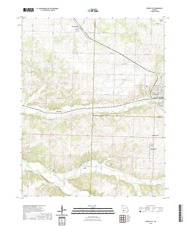 2021 Pierce City2021 Print · USGSPierce City and its neighboring Ozark border towns are shown here in the modern era as they navigate a landscape of agriculture and aviation. Genealogists and local researchers can trace family landmarks like Wright Cem or find the small communities of Berwick, Jolly, and Yonkerville.
 - 2021 Map of Wheaton, 2021 Print
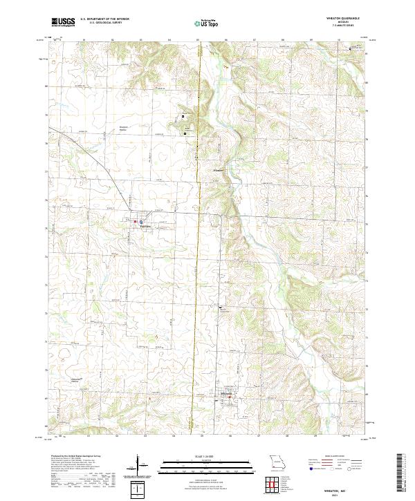 2021 Wheaton2021 Print · USGSBarry and Newton County farm country is captured here during its recent period of agricultural stability and rural growth. Researchers can locate several burial grounds including Muncie Chapel Cem and Barker Cem near the headwaters of Shoal Creek.
 - 2021 Map of Bethpage, 2021 Print
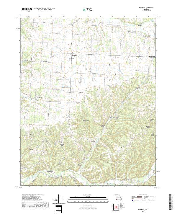 2021 Bethpage2021 Print · USGSThe rural hollows and ridges of McDonald County are captured here in the early twenty-first century. Genealogists and local historians can trace the geography around Bethpage, Longview, and Bethlehem, or locate family-named landmarks like Johnson Hollow and Kings Valley.
 - 2021 Map of Seneca, 2021 Print
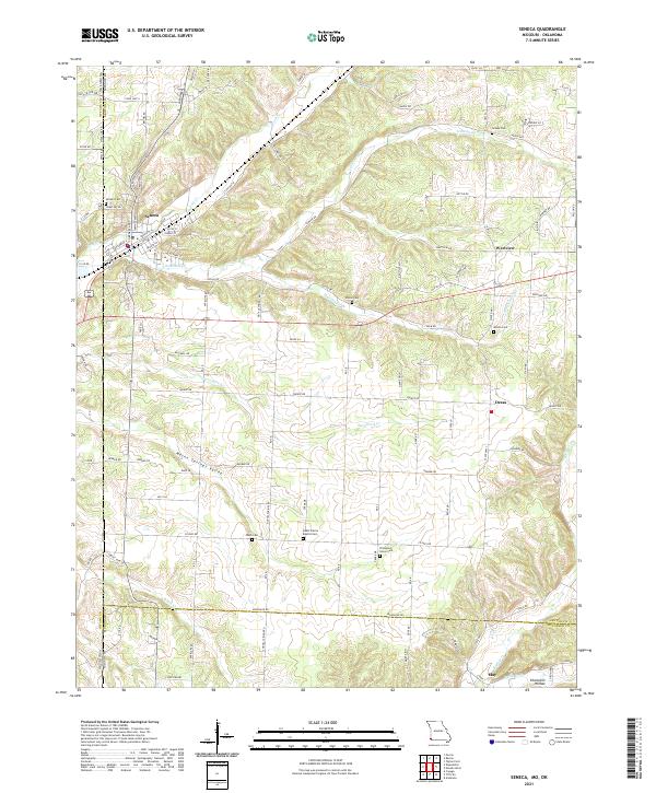 2021 Seneca2021 Print · USGSThe Missouri and Oklahoma borderlands come into focus in the early 2020s, showing the settled valleys around Seneca. Researchers can trace rural lineages through numerous local sites like Swars Prairie Baptist Cem and Thompson Grove Cem.
 - 2021 Map of Newtonia, 2021 Print
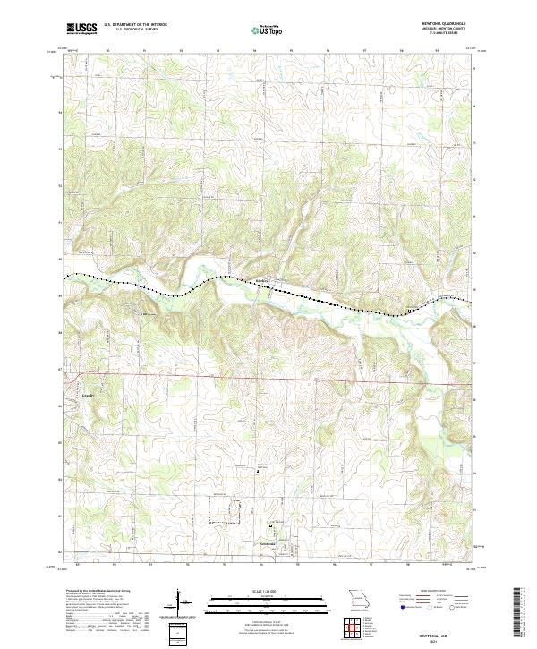 2021 Newtonia2021 Print · USGSNewtonia and Ritchey appear in the early 21st century, showing the enduring rural character of Newton County. Researchers can pinpoint the Civil War Cem and Newtonia IOOF Cem, or trace the winding waters of Shoal Creek and Newtonia Br.
 - 2021 Map of Rocky Comfort, 2021 Print
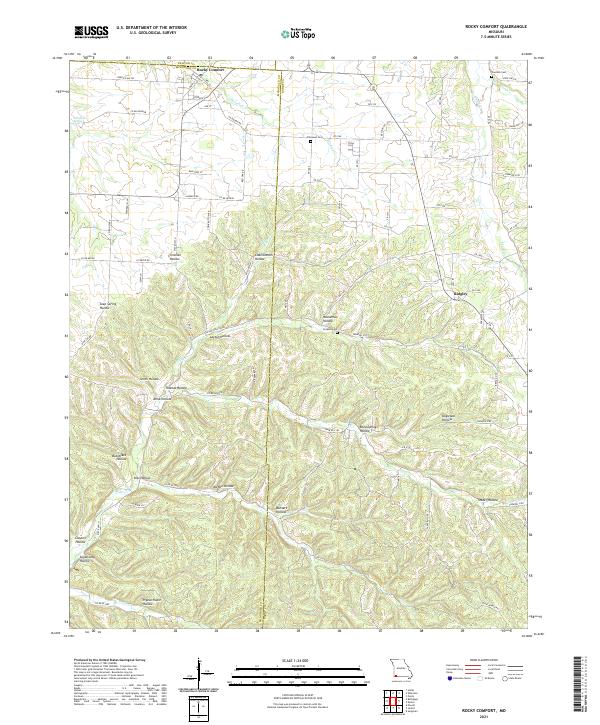 2021 Rocky Comfort2021 Print · USGSThe rural landscapes of McDonald and Barry counties are captured here in the early twenty-first century. Genealogists can trace family roots through sites like Chitwood Cem and Ridgley, or locate family lands near Pigeon Roost Hollow.
 - 2021 Map of Fidelity, 2021 Print
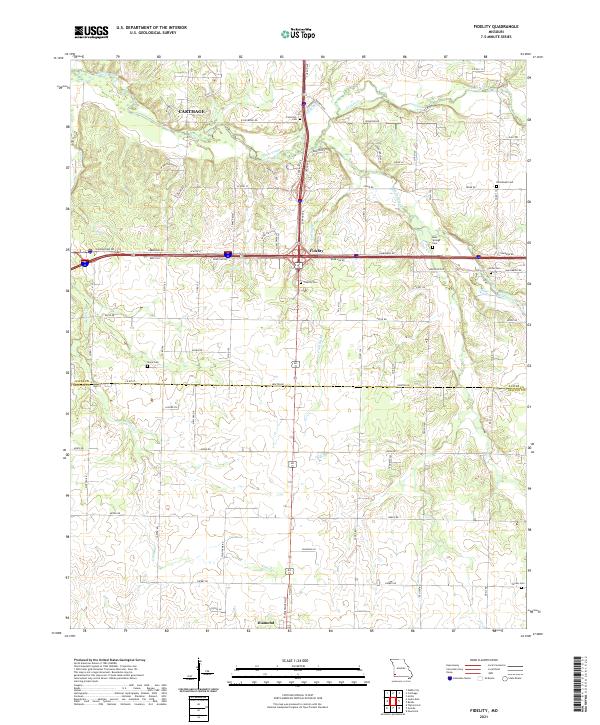 2021 Fidelity2021 Print · USGSFidelity and the surrounding Jasper County countryside are documented here in the early 2020s. Genealogists can trace family roots through numerous local burial grounds such as Stone Cem, Center Cem, and Emmanuel Cem along the Center Creek basin.
 - 2021 Map of Sarcoxie, 2021 Print
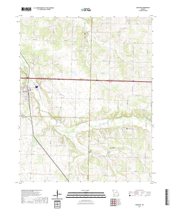 2021 Sarcoxie2021 Print · USGSSarcoxie and the surrounding tri-county borderlands of Jasper, Newton, and Lawrence counties are captured in this recent survey. Local historians can trace family locations through numerous rural burial grounds like Cave Spring Cem and Dry Valley Cem, or locate landmarks like Bleuins Lake and Haddock Spring.
 - 2021 Map of Reeds, 2021 Print
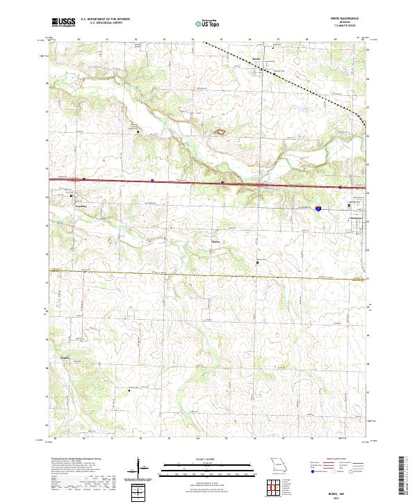 2021 Reeds2021 Print · USGSJasper and Newton counties are shown here in the early 2020s, featuring a landscape of small agricultural settlements and winding creek beds. Genealogists and local researchers can trace family lands near Dudman Springs Church Cem, Motley, and Reeds.
 - 2021 Map of Neosho East, 2021 Print
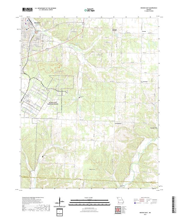 2021 Neosho East2021 Print · USGSNewton County's eastern townships are shown here in the early 2020s, centered on the civic activity of Neosho and its surrounding rural communities. Genealogists can locate family landmarks like Elm Spring Cem and Maness Cem, or trace the springs that gave rise to places like Monark Springs.
 - 2021 Map of Joplin West, 2021 Print
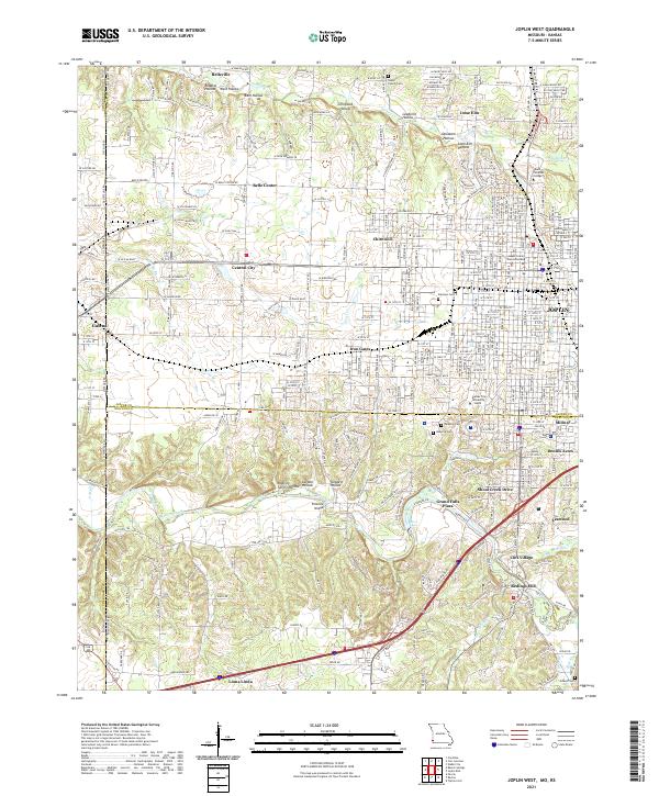 2021 Joplin West2021 Print · USGSJoplin and the Kansas borderlands appear in great detail during this period of 21st-century growth and institutional expansion. Researchers can trace the heritage of local mining hollows or locate the Jasper County Courts Building, Peace Church Cem, and Redings Mill.
 - 2021 Map of Joplin East, 2021 Print
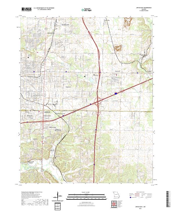 2021 Joplin East2021 Print · USGSThe Joplin area in the early 2020s shows a sophisticated blend of suburban growth and natural drainage. Researchers can trace family sites across Ozark Memorial Park Cem, the Village of Silver Creek, and the outskirts of Atlas.
End of results
Showing maps 1-17 of 17
Top cities of Newton County
- Neosho historical maps
- Seneca historical maps
- Granby historical maps
- Leawood historical maps
- Diamond historical maps
- Silver Creek historical maps
See more
Frequently asked questions
- What are the different types of historical maps available for Newton County?
- What is the oldest map of Newton County?
- Where can I purchase historical maps of Newton County for my home or office?
- Where can I download high-res historical maps of Newton County?
- Are there historical topographic maps available for Newton County?
- Is there historical aerial imagery available for Newton County?
- Where are historical maps of Newton County sourced from?