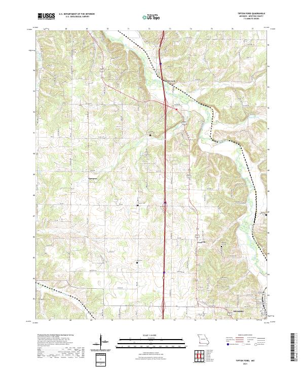
2021 Map of Tipton Ford
USGS Topo · Published 2021About this map
Shoal Creek meanders across the northern portion of this Newton County landscape, where the settlements of Tipton Ford and Spurgeon anchor a region defined by its creek valleys and rural crossroads. The topography is marked by several small tributaries including Cedar Cr, Carver Br, and Baynham Br, which carve through the terrain north of the expanding outskirts of Neosho. This 2021 survey reveals a dense network of family and local history markers, particularly through its numerous burial grounds such as Thrasher Cem, King Cem, and Pleasant Hill Cem. The transportation corridor is dominated by Gateway Dr, which links the smaller communities of Fredville and Tipton Ford to the larger regional hub in the south, illustrating the modern connectivity of these historically distinct rural hamlets.
Find a feature on this map
34 named features on this map. Tap any name to fly to it.
Don’t see what you’re looking for? This feature index may not catch every label — zoom into the map to look around manually.
Map Details
Editions of this 2021 Tipton Ford Map
This is the sole edition of this map. No revisions or reprints were ever made.
Other maps of this area

1886 · Joplin
USGS Topo · 1:125,000

1886 · Carthage
USGS Topo · 1:125,000

1894 · Joplin
USGS Topo · 1:125,000

1894 · Carthage
USGS Topo · 1:125,000

1907 · Wyandotte
USGS Topo · 1:125,000

1909 · Wyandotte
USGS Topo · 1:125,000

1916 · Neosho
USGS Topo · 1:62,500

1947 · Joplin
USGS Topo · 1:250,000

1949 · Joplin
USGS Topo · 1:250,000

1949 · Seneca
USGS Topo · 1:24,000