Old Maps of Boulder City, Missouri for Genealogy
Trace your family roots with 10 historic maps of Boulder City. These high-res maps reveal old neighborhoods, homesites, landmarks, and streets — helping you uncover where your ancestors lived and how the area evolved over time.
- Explore historic neighborhoods: Identify where your relatives may have lived in the 1800s or 1900s.
- Compare maps over time: Trace the changes in streets, buildings, and landmarks for multi-generational research.
- Perfect for genealogy & ancestry research: Used by family historians and researchers to map out lineage and migration.
These maps are an incredible resource for exploring your personal connection to Boulder City's past.
Boulder City, MO maps
(10)- 1943 Map of Ritchey
 1943 Ritchey1943 Print · USGSSouthwest Missouri during the war years shows a landscape of busy railroads and emerging military sites. Genealogists can trace family roots through numerous local landmarks like Odd Fellows Cem, Dungy Mine, and rural centers such as Stark City.2 unique versions available
 - 1954 Map of Tulsa
 1954 Tulsa1954 Print · USGSNortheast Oklahoma and the Ozark border are shown here during a period of massive industrial and infrastructure growth. Researchers can trace the legacy of the Tri-State Mining District and the development of major reservoirs like Grand Lake O' The Cherokees.2 unique versions available
 - 1958 Map of Tulsa, 1968 Print
 1958 Tulsa1968 Print · USGSNortheast Oklahoma and the Ozark borderlands are captured here during a massive era of reservoir construction and highway expansion. Researchers can trace the mid-century footprints of Tulsa, the sprawling Lake O' the Cherokees, and historical sites like Pea Ridge National Military Park.3 unique versions available
 - 1963 Map of Tulsa
 1963 Tulsa1963 Print · USGSThe Oklahoma and Arkansas borderlands are shown here in the early sixties, a time of massive reservoir construction and heavy mining. Genealogists can trace family roots through settlements like Nowata, Pryor, and Jay, or locate historical zinc and lead mines and coal mines.
 - 1972 Map of Stella, 1974 Print
 1972 Stella1974 Print · USGSNewton and McDonald Counties in the early 1970s reveal a landscape of rural crossroads and hidden spring-fed hollows. Researchers can trace family history through sites like Hazelgreen Cem, find the Old Railroad Grade, or locate the community of Stark City.
 - 1986 Map of Neosho
 1986 Neosho1986 Print · USGSThe tri-state border region comes alive in the mid-eighties as a landscape of mining heritage and river valleys. Researchers can trace the rail lines of the Kansas City Southern Ry and locate rural landmarks like Gibson Cem and Peoria.2 unique versions available
 - 2012 Map of Stella, 2012 Print
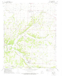
 2012 Stella2012 Print · USGSCovers Boulder City, including Stella, Stark City, and other nearby areas
 - 2015 Map of Stella, 2015 Print
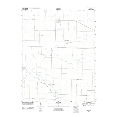
 2015 Stella2015 Print · USGSCovers Boulder City, including Stella, Stark City, and other nearby areas
 - 2017 Map of Stella, 2017 Print
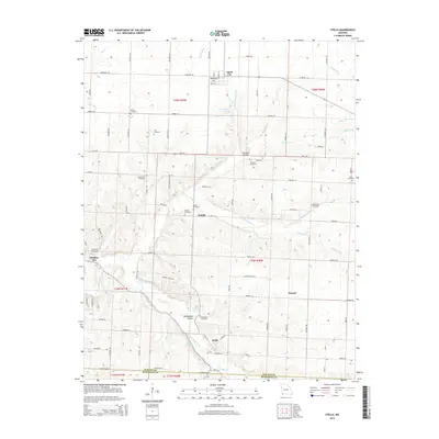
 2017 Stella2017 Print · USGSCovers Boulder City, including Stella, Stark City, and other nearby areas
 - 2021 Map of Stella, 2021 Print
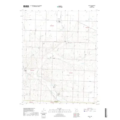
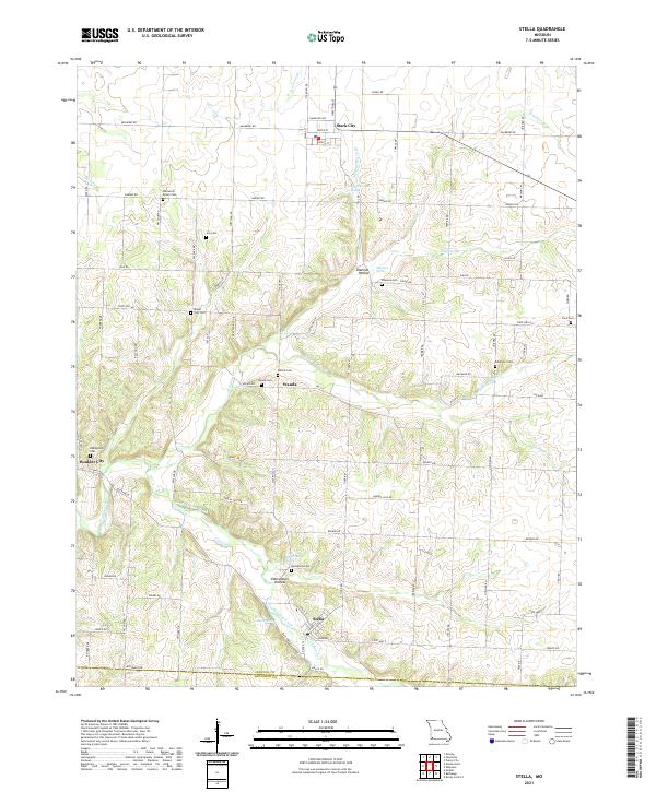 2021 Stella2021 Print · USGSNewton and McDonald counties appear in this recent survey as a landscape of rural communities and intricate valley springs. Genealogists can locate family burial sites like William M Brown Cem, Ivie Cem, and Robertson Cem across the hills surrounding Stella.
End of results
Showing maps 1-10 of 10
Top cities near Boulder City
- Joplin historical maps
- Neosho historical maps
- Granby historical maps
- Anderson historical maps
- Goodman historical maps
- Diamond historical maps
See more
Frequently asked questions
- What are the different types of historical maps available for Boulder City?
- What is the oldest map of Boulder City?
- Where can I purchase historical maps of Boulder City for my home or office?
- Where can I download high-res historical maps of Boulder City?
- Are there historical topographic maps available for Boulder City?
- Is there historical aerial imagery available for Boulder City?
- Where are historical maps of Boulder City sourced from?