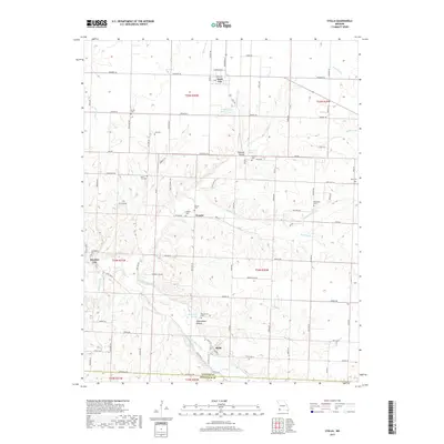
2017 Map of Stella
USGS Topo · Published 2017About this map
Stella lies at the intersection of local routes in southern Newton County, marking a focal point of this rural Missouri landscape. The area is defined by the headwaters and winding paths of Indian Creek and its many tributaries, including Middle Indian Cr and South Indian Creek. These watercourses have carved out distinctive terrain features like Shannon Hollow and Edmondson Hollow, which create a complex drainage pattern across the region. Small agricultural settlements like Stark City, Wanda, and Boulder City are scattered throughout, each connected by a grid of county roads such as Norway Rd and Quince Rd.
Find a feature on this map
58 named features on this map. Tap any name to fly to it.
Don’t see what you’re looking for? This feature index may not catch every label — zoom into the map to look around manually.
Map Details
Editions of this 2017 Stella Map
This is the sole edition of this map. No revisions or reprints were ever made.
Other maps of this area

1916 · Neosho
USGS Topo · 1:62,500

1940 · Noel
USGS Topo · 1:62,500

1941 · Rocky Comfort
USGS Topo · 1:62,500

1943 · Ritchey
USGS Topo · 1:62,500

1943 · Noel
USGS Topo · 1:62,500

1943 · Rocky Comfort
USGS Topo · 1:62,500

1954 · Tulsa
USGS Topo · 1:250,000

1958 · Tulsa
USGS Topo · 1:250,000

1963 · Tulsa
USGS Topo · 1:250,000
1972 · Granby
USGS Topo · 1:24,000