Old Maps of Green Township, Missouri for Hiking & Exploration
Hike through history with 41 historic maps of Green Township. Explore old trails, ghost towns, and forgotten backroads — perfect for outdoor adventurers and local explorers.
- Rediscover forgotten places: Map out old mining camps, roads, and footpaths that no longer exist on modern maps.
- Layer with modern tools: Combine with LiDAR or satellite views to plan hikes through historical terrain.
- Made for exploration: Popular among hikers, overlanders, and local history lovers.
Use these maps to find adventure and explore the hidden past of Green Township.
Green Township, MO maps
(41)- 1939 Map of Skidmore
 1939 Skidmore1939 Print · USGSNorthwest Missouri is captured here in the late thirties, when the river valleys were teeming with small school districts and active rail lines. Researchers can trace family history through dozens of rural schools like Evans Sch and churches including Centenary Ch.3 unique versions available
 - 1941 Map of Skidmore
 1941 Skidmore1941 Print · USGSNodaway County agriculture and transit thrive during the late thirties and early forties as major rail lines intersect. Genealogists can locate dozens of rural landmarks, including St Oswald Ch, Burlington Junction, and the Little Brick Sch.
 - 1942 Map of Skidmore
 1942 Skidmore1942 Print · USGSNodaway County is captured here in the early 1940s, showing a landscape defined by the Nodaway River and the Chicago Burlington and Quincy railroad. Researchers can trace dozens of country school sites like Little Brick Sch and Eudora Sch, or find family landmarks such as St Oswald Ch and London Cem.2 unique versions available
 - 1943 Map of Maryville
 1943 Maryville1943 Print · USGSNodaway County agricultural life and the growing city of Maryville are documented here just before the mid-century. Genealogists can locate dozens of rural landmarks, from Workman Union Chapel to family-named schools like Guthrie Sch and Casteel Sch.3 unique versions available
 - 1955 Map of Nebraska City, 1967 Print
 1955 Nebraska City1967 Print · USGSThe four-state region surrounding the Missouri River valley appears here in the mid-1950s, a landscape of rail-dependent market towns and rural school districts. Genealogists can locate family landmarks like the Rock Bluff School, St Oswald Church, and the Clarinda State Hospital.3 unique versions available
 - 1957 Map of Nebraska City
 1957 Nebraska City1957 Print · USGSThe four-state junction of Nebraska, Iowa, Missouri, and Kansas comes alive in this mid-fifties survey of the Missouri River valley. Genealogists and historians can trace the rail-and-road networks connecting Nebraska City, Maryville, and the Squaw Creek National Wildlife Refuge.
 - 1958 Map of Nebraska City
 1958 Nebraska City1958 Print · USGSThe Missouri River Valley and its fertile four-state borderlands are captured here during the mid-century expansion of the regional highway and rail networks. Genealogists can trace family roots through numerous rural landmarks like Moulton School, Shady Grove Church, and the Clarinda State Hospital.
 - 1981 Map of Burlington Junction, 1982 Print
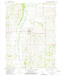 1981 Burlington Junction1982 Print · USGSThe Nodaway River valley in the early eighties shows a landscape of established rail lines and river crossings. Trace family history at Mt Hope Cem or Quitman, and follow the Old Railroad Grade north of town.
 - 1981 Map of Dotham, 1982 Print
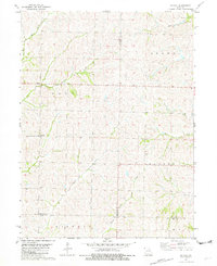 1981 Dotham1982 Print · USGSAtchison and Nodaway counties in the late 1970s show a landscape shaped by agricultural tradition and numerous winding creek branches. Genealogists can locate family landmarks such as St Oswald Ch, Burr Oak Ch, and the community of Dotham.
 - 1981 Map of Skidmore NW, 1982 Print
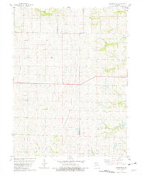 1981 Skidmore NW1982 Print · USGSNorthwestern Missouri was a landscape of deep-cut creek beds and quiet townships in the early 1980s. Researchers can trace land ties across the Atchison Co Nodaway Co line or locate the London Cem and the waters of Headrick Branch.
 - 1981 Map of Skidmore, 1982 Print
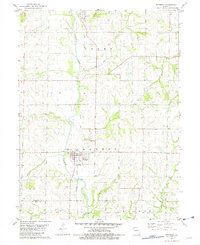 1981 Skidmore1982 Print · USGSNodaway County agricultural life and riverfront settlement are documented here in the early 1980s. Local researchers can trace the Burlington Northern Railroad Grade or locate family plots at Masonic Cem and Smith Cem.
 - 1984 Map of Maryville West, 1985 Print
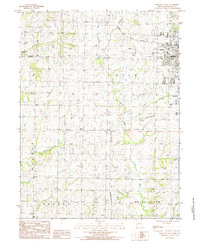 1984 Maryville West1985 Print · USGSMaryville and the surrounding townships of Nodaway County are captured in the mid-1980s during a period of steady university growth and rural persistence. Researchers can locate the footprint of Northwest Missouri State University, the Memorial Airport, and local landmarks like the Drive-in Theater.
 - 1985 Map of Wilcox
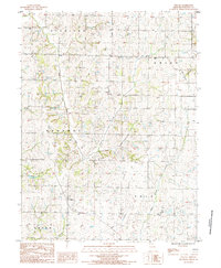 1985 Wilcox1985 Print · USGSNodaway County is captured in the mid-1980s, showing a traditional Missouri landscape of dispersed farmsteads and winding creeks. Genealogists and local historians can trace property lines near Wilcox or follow the paths of White Cloud Creek and Big Slough.
 - 1986 Map of Falls City
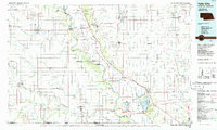 1986 Falls City1986 Print · USGSThe Missouri River borderlands of Nebraska and Missouri were a landscape of established colleges and river-bound railroads in the mid-1980s. Researchers can locate long-standing landmarks like Peru State College, the Iowa Indian Reservation, and St Johns Cem.2 unique versions available
 - 1986 Map of Maryville
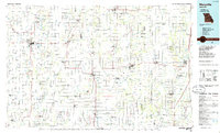 1986 Maryville1986 Print · USGSNorthwest Missouri's agricultural heartland is documented here in the mid-1980s, from the campus at Northwest Missouri State University to the Grand River valley. Genealogists can trace family footprints across dozens of local burial grounds like Alanthus Grove Cem and Brooklyn Cem.2 unique versions available
 - 2011 Map of Maryville West, 2011 Print
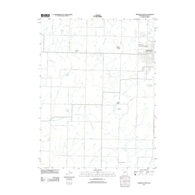 2011 Maryville West2011 Print · USGSMaryville and the surrounding Missouri countryside are captured in this recent survey during a period of steady growth. Genealogists and local historians can trace family ties at Cain Cemetery or explore the grounds of Northwest Missouri State University.
 - 2011 Map of Wilcox, 2011 Print
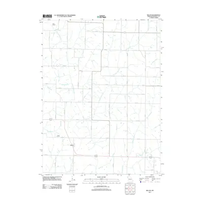 2011 Wilcox2011 Print · USGSNodaway County agricultural life is documented here during the early 21st century, centered on the settlement of Wilcox. Genealogists and local historians can trace family roots through the Wilcox Cemetery or locate landmarks like Toad Hollow and Big Slough.
 - 2012 Map of Skidmore NW, 2012 Print
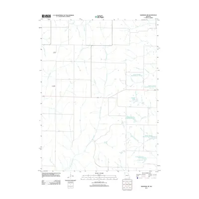 2012 Skidmore NW2012 Print · USGSLondon and the agricultural borderlands of Atchison and Nodaway counties are shown here during the early twenty-first century. Researchers can trace the extensive Hoover Frankum Watershed system, identifying A-11 Reservoir, Nodaway C-20 Lake, and the historic London Cemetery.
 - 2012 Map of Burlington Junction, 2012 Print
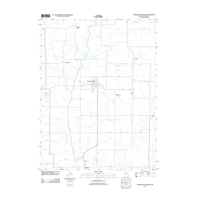 2012 Burlington Junction2012 Print · USGSNorthwest Missouri's riverine farmland is captured here in the early twenty-first century, centered on the Nodaway River. Researchers can locate several burial grounds including Mount Hope Cemetery and trace the roads connecting Burlington Junction to Quitman.
 - 2012 Map of Dotham, 2012 Print
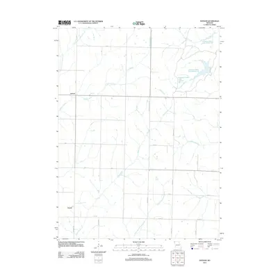 2012 Dotham2012 Print · USGSAgricultural life in Atchison County is captured here in the early 2010s. Researchers can trace rural settlement patterns near Dotham and Oswald or locate the numerous water bodies of Patterson Farms Lake Section 13.
 - 2012 Map of Skidmore, 2012 Print
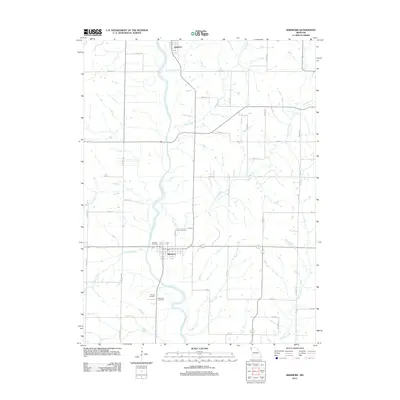 2012 Skidmore2012 Print · USGSNodaway County at the start of the 2010s shows a landscape defined by the Nodaway River and its many tributary creeks. Genealogists and local researchers can locate several historic burial sites, including Smith Cemetery and the Masonic Cemetery near Skidmore.
 - 2014 Map of Dotham, 2014 Print
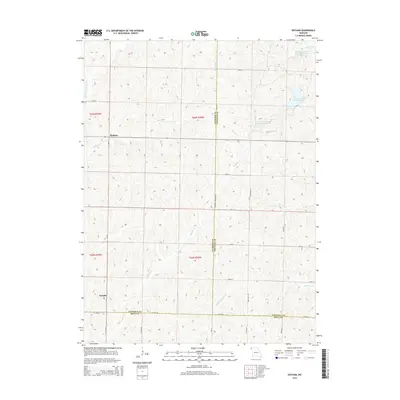 2014 Dotham2014 Print · USGSNorthwestern Missouri's agricultural heartland is documented here at the intersection of Atchison, Nodaway, and Holt Counties. Genealogists and local historians can trace the rural communities of Dotham and Oswald alongside water features like Huff Cr and Squaw Cr.
 - 2014 Map of Skidmore, 2014 Print
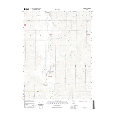 2014 Skidmore2014 Print · USGSSkidmore and the surrounding prairie lands of Nodaway County appear here in the early twenty-first century as a well-ordered network of rural homesteads and river valleys. Researchers can locate family sites and burial grounds like Masonic Cemetery or trace the course of the Nodaway River and Elkhorn Creek.
 - 2014 Map of Maryville West, 2014 Print
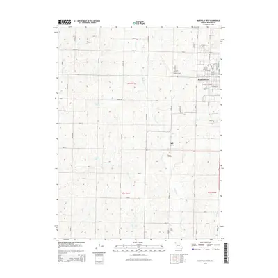 2014 Maryville West2014 Print · USGSThe western outskirts of Maryville and the Northwest Missouri State campus are shown here during the early twenty-first century. Genealogists and local historians can trace rural property lines and find quiet landmarks like Morgan Cemetery, Bell Grove, and White Cloud Cr.
 - 2014 Map of Burlington Junction, 2014 Print
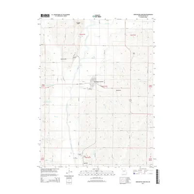 2014 Burlington Junction2014 Print · USGSNodaway County agricultural life is captured here in the early twenty-first century, centered on the Nodaway River valley. Genealogists and local researchers can pinpoint several historic burial sites, including Old Quitman Cemetery, Mount Hope Cemetery, and the settlement of Dawsonville.
Showing maps 1-25 of 41
Top cities near Green Township
- Maryville historical maps
- Burlington Junction historical maps
- Skidmore historical maps
- Maitland historical maps
- Graham historical maps
- Clearmont historical maps
See more
Top neighborhoods of Green Township
Frequently asked questions
- What are the different types of historical maps available for Green Township?
- What is the oldest map of Green Township?
- Where can I purchase historical maps of Green Township for my home or office?
- Where can I download high-res historical maps of Green Township?
- Are there historical topographic maps available for Green Township?
- Is there historical aerial imagery available for Green Township?
- Where are historical maps of Green Township sourced from?