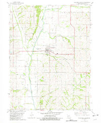
1981 Map of Burlington Junction
USGS Topo · Published 1982About this map
The Nodaway River winds through the heart of this rural landscape, flanked by a network of creeks including Clear Creek and Cuyhoga Creek. The town of Burlington Junction serves as the primary hub, where the Norfolk and Western railroad corridor intersects with local roadways. This late-twentieth-century survey documents a region deeply connected to its agricultural roots, evidenced by the numerous cemeteries like Mt Hope Cem and Ohio Cem that dot the countryside.
Find a feature on this map
26 named features on this map. Tap any name to fly to it.
Don’t see what you’re looking for? This feature index may not catch every label — zoom into the map to look around manually.
Map Details
Editions of this 1981 Burlington Junction Map
This is the sole edition of this map. No revisions or reprints were ever made.
Other maps of this area
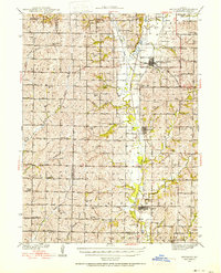
1939 · Skidmore
USGS Topo · 1:62,500
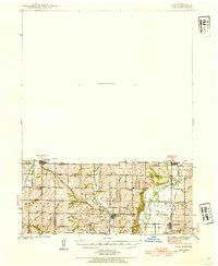
1940 · Coin
USGS Topo · 1:62,500
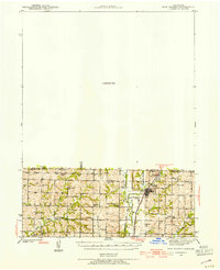
1940 · New Market
USGS Topo · 1:62,500
1941 · Skidmore
USGS Topo · 1:62,500
1942 · Skidmore
USGS Topo · 1:62,500
1943 · Coin
USGS Topo · 1:62,500
1943 · Maryville
USGS Topo · 1:62,500
1943 · New Market
USGS Topo · 1:62,500
1955 · Nebraska City
USGS Topo · 1:250,000
1957 · Nebraska City
USGS Topo · 1:250,000