Old Maps of Nodaway County, Missouri
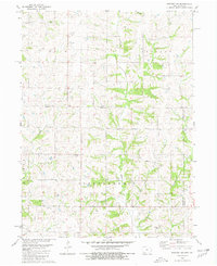
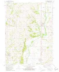
Explore 48 old maps of Nodaway County, spanning from 1925 to today. These high-resolution historic maps reveal how streets, neighborhoods, landmarks, and natural features evolved over time — perfect for genealogy, metal detecting, research, and local history exploration.
What you can do with these maps:
- See how Nodaway County changed over time: Compare historical maps to modern-day views to trace roads, homesites, rail lines & more.
- View detailed metadata: Each map includes creators, publishers, year, scale, and archive source.
- Overlay maps with satellite & LiDAR: Visualize the past alongside modern tools to explore terrain & human change.
- Trusted historical sources: Maps sourced from the USGS, Library of Congress, and other archives.
- Access maps your way: View online, download high-res files, or order prints for personal or research use.
Start exploring old maps of Nodaway County to uncover forgotten places, hidden landmarks, and the deep history beneath your feet.
Nodaway County, MO maps
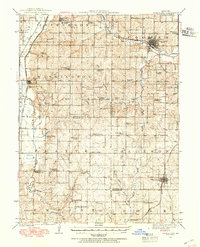
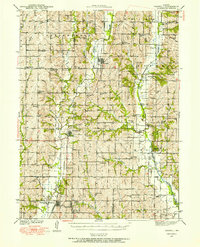
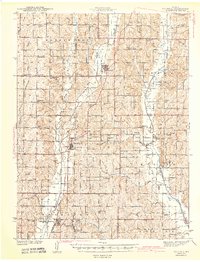
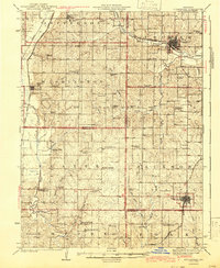
(48)- 1925 Map of Stanberry
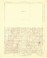 1925 Stanberry1925 Print · USGSCovers Nodaway County, including Stanberry, King City, and other nearby areas3 unique versions available
 - 1926 Map of Maitland
 1926 Maitland1926 Print · USGSCovers Nodaway County, including Mound City, Maitland, and other nearby areas3 unique versions available
 - 1927 Map of Bolckow
 1927 Bolckow1927 Print · USGSCovers Nodaway County, including Barnard, Bolckow, and other nearby areas2 unique versions available
 - 1939 Map of Skidmore
 1939 Skidmore1939 Print · USGSCovers Nodaway County, including Burlington Junction, Skidmore, and other nearby areas3 unique versions available
 - 1939 Map of Stanberry, 1954 Print
 1939 Stanberry1954 Print · USGSCovers Nodaway County, including Stanberry, King City, and other nearby areas
 - 1940 Map of Bedford, 1954 Print
 1940 Bedford1954 Print · USGSCovers Nodaway County, including Bedford, Sheridan, and other nearby areas2 unique versions available
 - 1940 Map of Coin, 1954 Print
 1940 Coin1954 Print · USGSCovers Nodaway County, including Clarinda, Coin, and other nearby areas2 unique versions available
 - 1940 Map of New Market, 1954 Print
 1940 New Market1954 Print · USGSCovers Nodaway County, including Hopkins, New Market, and other nearby areas
 - 1940 Map of Parnell, 1954 Print
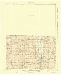
 1940 Parnell1954 Print · USGSCovers Nodaway County, including Ravenwood, Conception Junction, and other nearby areas
 - 1941 Map of Skidmore
 1941 Skidmore1941 Print · USGSCovers Nodaway County, including Burlington Junction, Skidmore, and other nearby areas
 - 1942 Map of Skidmore
 1942 Skidmore1942 Print · USGSCovers Nodaway County, including Burlington Junction, Skidmore, and other nearby areas2 unique versions available
 - 1943 Map of Bedford
 1943 Bedford1943 Print · USGSCovers Nodaway County, including Bedford, Sheridan, and other nearby areas2 unique versions available
 - 1943 Map of Parnell
 1943 Parnell1943 Print · USGSCovers Nodaway County, including Ravenwood, Conception Junction, and other nearby areas2 unique versions available
 - 1943 Map of Coin
 1943 Coin1943 Print · USGSCovers Nodaway County, including Clarinda, Coin, and other nearby areas2 unique versions available
 - 1943 Map of Maryville
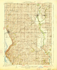
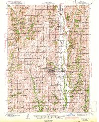 1943 Maryville1943 Print · USGSCovers Nodaway County, including Maryville, Pickering, and other nearby areas3 unique versions available
 - 1943 Map of New Market
 1943 New Market1943 Print · USGSCovers Nodaway County, including Hopkins, New Market, and other nearby areas2 unique versions available
 - 1943 Map of Stanberry
 1943 Stanberry1943 Print · USGSCovers Nodaway County, including Stanberry, King City, and other nearby areas
 - 1945 Map of Bolckow
 1945 Bolckow1945 Print · USGSCovers Nodaway County, including Barnard, Bolckow, and other nearby areas2 unique versions available
 - 1955 Map of Nebraska City, 1967 Print
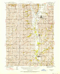
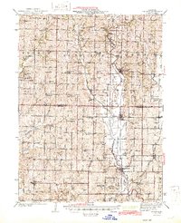
 1955 Nebraska City1967 Print · USGSCovers Nodaway County, including Maryville, Nebraska City, and other nearby areas3 unique versions available
 - 1957 Map of Nebraska City
 1957 Nebraska City1957 Print · USGSCovers Nodaway County, including Maryville, Nebraska City, and other nearby areas
 - 1958 Map of Nebraska City
 1958 Nebraska City1958 Print · USGSCovers Nodaway County, including Maryville, Nebraska City, and other nearby areas
 - 1980 Map of Hopkins SW
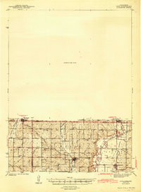
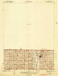
 1980 Hopkins SW1980 Print · USGSCovers Nodaway County, including Atchison Township, Union Township, and other nearby areas
 - 1980 Map of Hopkins, 1981 Print
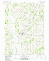 1980 Hopkins1981 Print · USGSCovers Nodaway County, including Hopkins, Union Township, and other nearby areas
 - 1980 Map of Bedford SW, 1981 Print
 1980 Bedford SW1981 Print · USGSCovers Nodaway County, including Union Township, Independence Township, and other nearby areas
 - 1981 Map of Clearmont
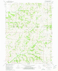
 1981 Clearmont1981 Print · USGSCovers Nodaway County, including Clearmont, College Springs, and other nearby areas
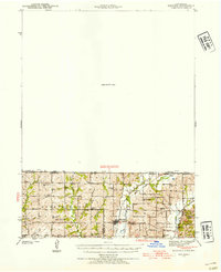
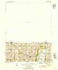
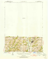
Showing maps 1-25 of 48
Frequently asked questions
- What are the different types of historical maps available for Nodaway County?
- What is the oldest map of Nodaway County?
- Where can I purchase historical maps of Nodaway County for my home or office?
- Where can I download high-res historical maps of Nodaway County?
- Are there historical topographic maps available for Nodaway County?
- Is there historical aerial imagery available for Nodaway County?
- Where are historical maps of Nodaway County sourced from?