Old Maps of Wilderness, Missouri for Hiking & Exploration
Hike through history with 12 historic maps of Wilderness. Explore old trails, ghost towns, and forgotten backroads — perfect for outdoor adventurers and local explorers.
- Rediscover forgotten places: Map out old mining camps, roads, and footpaths that no longer exist on modern maps.
- Layer with modern tools: Combine with LiDAR or satellite views to plan hikes through historical terrain.
- Made for exploration: Popular among hikers, overlanders, and local history lovers.
Use these maps to find adventure and explore the hidden past of Wilderness.
Wilderness, MO maps
(12)- 1944 Map of Van Buren, 1960 Print
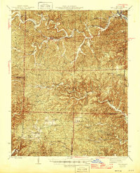
 1944 Van Buren1960 Print · USGSThe Ozark hill country of Carter and Shannon counties appears here in the mid-1940s. Researchers can trace the St Louis San Francisco rail line or locate rural sites like Pleasant Site Cem, Chicopee, and the Bristoll Sch.2 unique versions available
 - 1946 Map of Van Buren
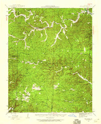
 1946 Van Buren1946 Print · USGSThe Ozark foothills of Carter County are shown here in the 1940s, dominated by the winding Current River and the sprawling Clark National Forest. Genealogists and hikers can trace the footprints of rural communities at Wilderness, Bristol Church, and Rinnard School.2 unique versions available
 - 1957 Map of Poplar Bluff, 1968 Print
 1957 Poplar Bluff1968 Print · USGSThe Missouri-Arkansas border region is captured here as the timber and rail industries shaped the Ozark foothills. Genealogists and historians can trace the Missouri Pacific Railroad through river towns like Pocahontas, Greenville, and Van Buren.3 unique versions available
 - 1959 Map of Poplar Bluff
 1959 Poplar Bluff1959 Print · USGSThe Missouri Ozarks and Arkansas borderlands meet in this late 1950s study of the region's diverse terrain and rail-fed towns. Researchers can trace the path of the Missouri Pacific Railroad through Poplar Bluff or locate smaller settlements like Birch Tree and Myrtle.
 - 1960 Map of Poplar Bluff
 1960 Poplar Bluff1960 Print · USGSSoutheast Missouri and Northeast Arkansas are captured here during the post-war era, showing the transition from the Ozark highlands to the Delta. Genealogists and historians can trace rail corridors like the St. Louis Southwestern RR and remote settlements such as Birch Tree and Warm Springs.
 - 1968 Map of Wilderness, 1969 Print
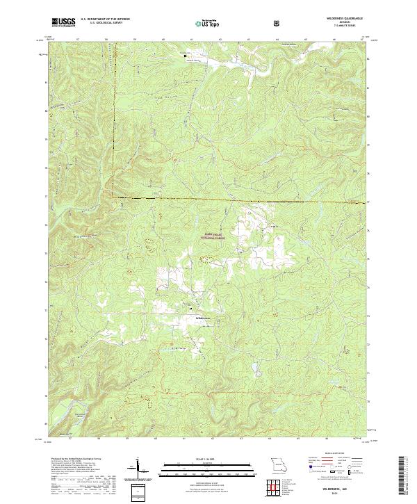
 1968 Wilderness1969 Print · USGSThe Oregon County backcountry in the late sixties reveals a landscape of forestry and secluded hollows within the Mark Twain National Forest. Trace family roots near Wilderness or locate landmarks like Freeman Cem, Falling Spring, and the Sinking Creek Lookout Tower.2 unique versions available
 - 1984 Map of West Plains
 1984 West Plains1984 Print · USGSThe Missouri Ozarks are mapped here in the mid-1980s, centered on the regional hub of West Plains and the river corridors of the Eleven Point River. Trace the old rail lines and timber towns of Willow Springs, Mountain View, and Birch Tree through the Mark Twain National Forest.2 unique versions available
 - 1997 Map of Wilderness, 1999 Print
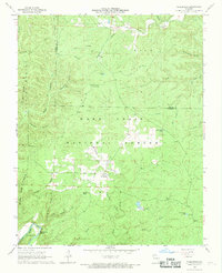
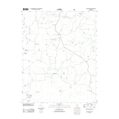
 1997 Wilderness1999 Print · USGSThe Oregon and Carter County borderlands are shown here in the late nineties, showcasing a landscape of protected forest and river corridors. Researchers can find old logging traces like the Old Tram Road, the Wilderness settlement, and the Freeman Cemetery.
 - 2012 Map of Wilderness, 2012 Print
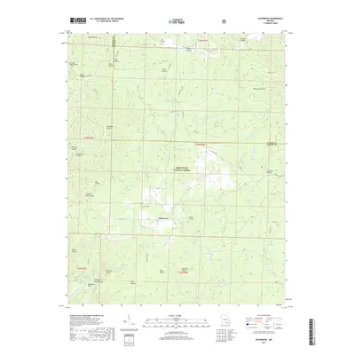
 2012 Wilderness2012 Print · USGSCovers Wilderness, including Carter County, Oregon County, and other nearby areas
 - 2015 Map of Wilderness, 2015 Print
 2015 Wilderness2015 Print · USGSCovers Wilderness, including Carter County, Oregon County, and other nearby areas
 - 2017 Map of Wilderness, 2017 Print
 2017 Wilderness2017 Print · USGSCovers Wilderness, including Carter County, Oregon County, and other nearby areas
 - 2021 Map of Wilderness, 2021 Print
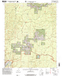
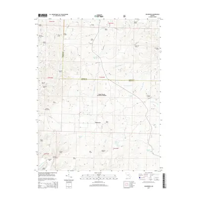
 2021 Wilderness2021 Print · USGSThe Missouri Ozarks are showcased here as they appeared in 2021, centered on the rural community of Wilderness and the Mark Twain National Forest. Genealogists and researchers can trace local family landmarks through the Wilderness Cem or follow the path of the Eleven Point Wild and Scenic River past Horseshoe Bend.
End of results
Showing maps 1-12 of 12
Top cities near Wilderness
Frequently asked questions
- What are the different types of historical maps available for Wilderness?
- What is the oldest map of Wilderness?
- Where can I purchase historical maps of Wilderness for my home or office?
- Where can I download high-res historical maps of Wilderness?
- Are there historical topographic maps available for Wilderness?
- Is there historical aerial imagery available for Wilderness?
- Where are historical maps of Wilderness sourced from?