Old Maps of Denton, Missouri for Academic Research
Study the evolution of Denton with 9 high-resolution historic maps. Whether you're teaching, researching, or modeling changes in land use, these maps provide essential visual documentation of urban, environmental, and geographic change.
- Analyze long-term change: Track patterns in development, transportation, and natural features.
- Ideal for environmental or urban studies: Support academic projects with primary historical map data.
- Use in the classroom or lab: Educators and researchers rely on these maps to bring historical context to life.
These maps are a powerful tool for teaching, research, and visualizing how Denton has changed over the decades.
Denton, MO maps
(9)- 1940 Map of Hayti, 1943 Print
 1940 Hayti1943 Print · USGSSoutheast Missouri’s fertile lowlands are captured here in the early 1940s, showing a landscape defined by drainage canals and rail-side commerce. Genealogists can trace family roots through numerous small schools and cemeteries, such as Cupp Cem and Gibson Sch.2 unique versions available
 - 1955 Map of Hayti
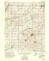 1955 Hayti1955 Print · USGSThe Missouri Bootheel comes into focus during the mid-fifties, showing a landscape defined by drainage ditches and rail-centered commerce. Researchers can find numerous rural landmarks like the Canady Switch Sch, Zion Rock Ch, and the County Farm Cem.
 - 1956 Map of Dyersburg, 1960 Print
 1956 Dyersburg1960 Print · USGSThe Four Rivers region comes alive in the mid-fifties, capturing the intricate borderlands of Tennessee, Kentucky, and Missouri. Genealogists and historians can trace the rail-and-river networks connecting Dyersburg, Caruthersville, and the shoreline of Reelfoot Lake.4 unique versions available
 - 1978 Map of Denton, 1979 Print
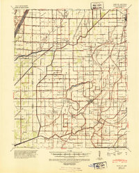
 1978 Denton1979 Print · USGSThe Missouri Bootheel landscape is captured here in the late seventies, showing a highly engineered agricultural plain at the Arkansas border. Genealogists and local historians can trace family sites like Macedonia Cem, St Matthews Ch, and the settlement at Hermondale.
 - 1983 Map of Dyersburg
 1983 Dyersburg1983 Print · USGSSpanning the Mississippi River at the start of the 1980s, this area shows the vital river-and-rail connections between Tennessee and Missouri. Researchers can trace family sites at Mount Pisgah Cemetery or study the evolving shoreline near Caruthersville and Reelfoot Lake.
 - 2012 Map of Denton, 2012 Print
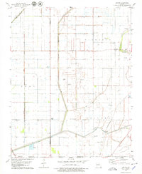
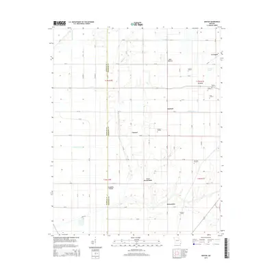
 2012 Denton2012 Print · USGSCovers Denton, including Samford, Channel, and other nearby areas
 - 2015 Map of Denton, 2015 Print
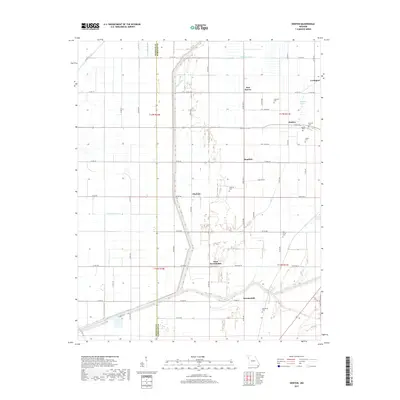
 2015 Denton2015 Print · USGSCovers Denton, including Samford, Channel, and other nearby areas
 - 2017 Map of Denton, 2017 Print
 2017 Denton2017 Print · USGSCovers Denton, including Samford, Channel, and other nearby areas
 - 2021 Map of Denton, 2021 Print
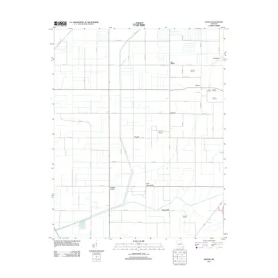
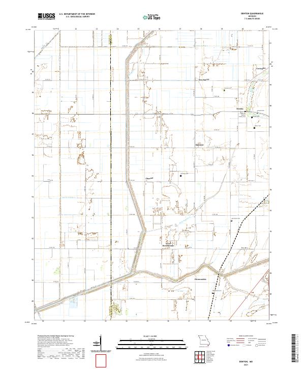 2021 Denton2021 Print · USGSThe Missouri Bootheel at the start of the 2020s remains a landscape shaped by drainage engineering and family legacy. Trace genealogical roots through local sites like Albert B Denton Family Cem, Samford Cem, and the old settlement at Hermondale.
End of results
Showing maps 1-9 of 9
Top cities near Denton
- Blytheville historical maps
- Kennett historical maps
- Caruthersville historical maps
- Hayti historical maps
- Gosnell historical maps
- Steele historical maps
See more
Frequently asked questions
- What are the different types of historical maps available for Denton?
- What is the oldest map of Denton?
- Where can I purchase historical maps of Denton for my home or office?
- Where can I download high-res historical maps of Denton?
- Are there historical topographic maps available for Denton?
- Is there historical aerial imagery available for Denton?
- Where are historical maps of Denton sourced from?