2020s Maps of Perry County, Missouri
Explore 23 historic maps of Perry County from the 2020s. These maps offer a rare glimpse into what life looked like during the 2020s — showing old roads, neighborhoods, homes, and landmarks that have changed or disappeared over time.
Whether you're researching your family's past, planning a metal detecting trip, or studying how Perry County's landscape evolved across the 2020s, these high-resolution maps are a powerful tool for exploring the history of this region.
- Focus on a specific era: All maps on this page are from the 2020s, giving you a focused view of this time period.
- See what’s changed: Compare century-old streets, trails, and buildings to today's modern landscape using overlays and satellite layers.
- Research with precision: Use these maps for genealogy, historical research, land use analysis, or educational projects.
- View, download, or print: Maps are fully viewable online in high resolution, and can be downloaded or printed for your own records.
Start exploring Perry County's history through authentic maps from the 2020s. This is your window into the past.
Perry County, MO maps
(23)- 2021 Map of Chester, 2021 Print
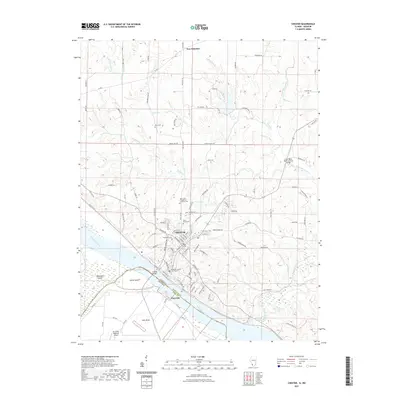 2021 Chester2021 Print · USGSCovers Perry County, including Chester, New Palestine, and other nearby areas
 - 2021 Map of Rockwood, 2021 Print
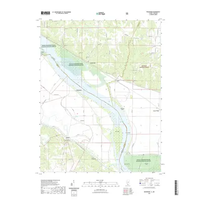 2021 Rockwood2021 Print · USGSCovers Perry County, including Degognia, Rockwood, and other nearby areas
 - 2021 Map of Kaskaskia, 2021 Print
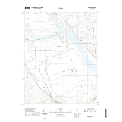 2021 Kaskaskia2021 Print · USGSCovers Perry County, including Saint Mary, St. Mary, and other nearby areas
 - 2021 Map of Wolf Lake, 2021 Print
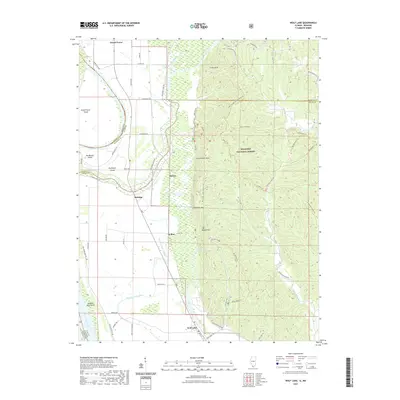 2021 Wolf Lake2021 Print · USGSCovers Perry County, including Grand Tower, Wolf Lake, and other nearby areas
 - 2021 Map of Minnith, 2021 Print
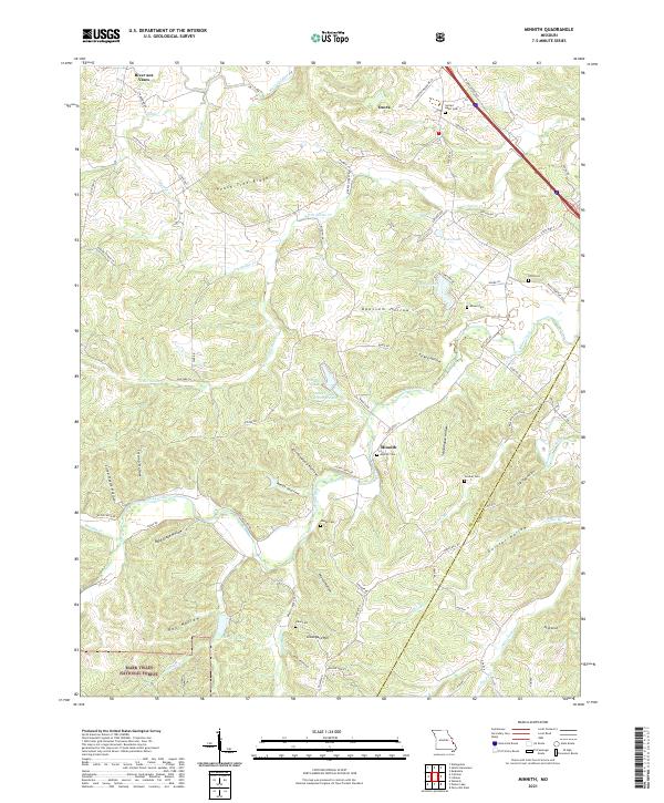 2021 Minnith2021 Print · USGSThe hills of Ste. Genevieve County are documented here in recent decades, showing a landscape of deep hollows and high ridges. Genealogists can trace family landmarks and burial sites like Sacred Heart Cem, Minnith Cem, and the quiet rural settlement of Ozora.
 - 2021 Map of Sedgewickville, 2021 Print
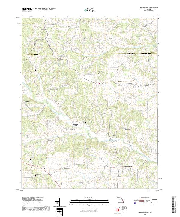 2021 Sedgewickville2021 Print · USGSSoutheast Missouri’s rolling interior near the Perry and Bollinger County line is home to long-established rural hamlets and deep family roots. Genealogists can trace local history through numerous sites like Bollinger Mill, the Old Bollinger Cem, and Lixville.
 - 2021 Map of Perryville East, 2021 Print
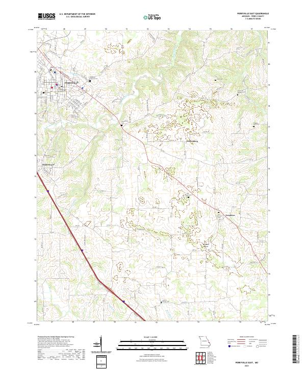 2021 Perryville East2021 Print · USGSPerry County at the start of the 2020s shows the growth of Perryville alongside its deep-rooted rural church communities. Genealogists can locate family landmarks like the Perry County Courthouse, York Chapel Cem, and Friedenberg.
 - 2021 Map of Crosstown, 2021 Print
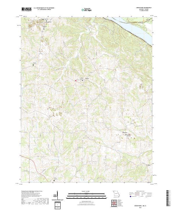 2021 Crosstown2021 Print · USGSPerry County and the Mississippi River bluffs are documented here during the early twenty-first century. Researchers can trace family history through numerous church sites and burial grounds like Salem Lutheran Church Cem in Farrar and Saint James Cem.
 - 2021 Map of Altenburg, 2021 Print
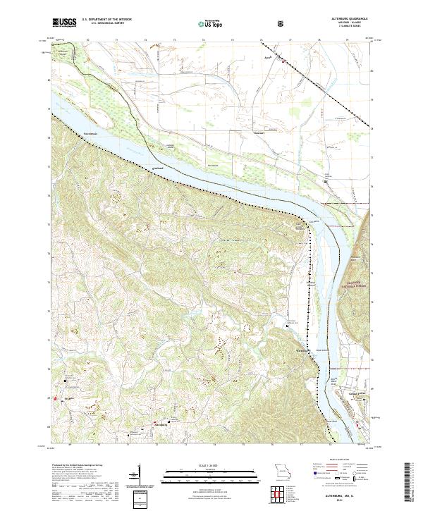 2021 Altenburg2021 Print · USGSThe Missouri-Illinois borderlands come alive in this recent survey of Perry and Jackson counties. Local historians can trace the legacy of German settlement through Altenburg and Frohna, or locate family sites at Trinity Church Cem and Tower Rock.
 - 2021 Map of Friedheim, 2021 Print
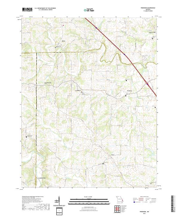 2021 Friedheim2021 Print · USGSThe rural uplands of Cape Girardeau County are captured here in the early 2020s, showing a landscape defined by historic German settlements and creek-bottom farms. Researchers can trace family history through sites like Sargents Chapel Lutheran Cem, Arnsberg, and the former site of Conrads Mill.
 - 2021 Map of Patton, 2021 Print
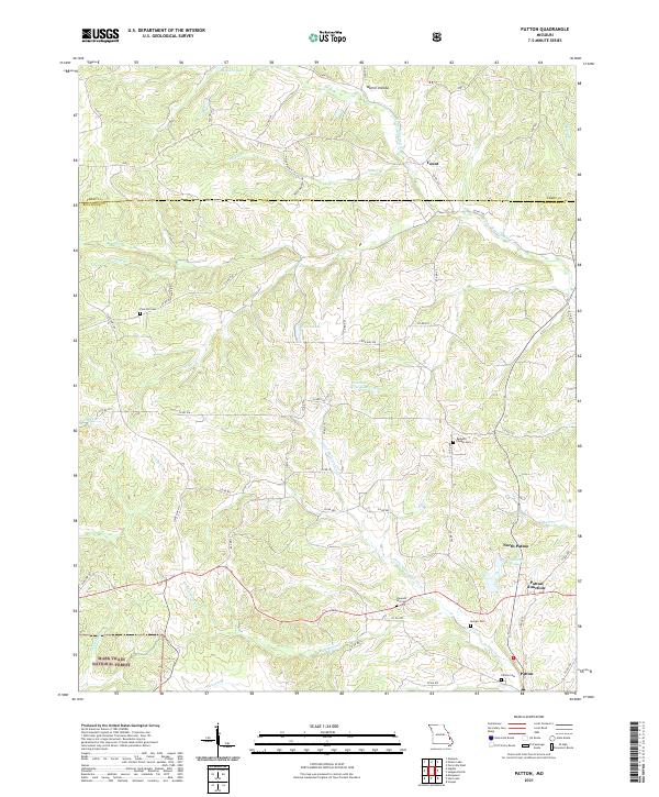 2021 Patton2021 Print · USGSBollinger County in the early 2020s remains a landscape of small crossroads and family cemeteries. Genealogists can trace local roots at Pine Hill Cem and Patton Cem, or locate landmarks like Patton Junction and Yount.
 - 2021 Map of Higdon, 2021 Print
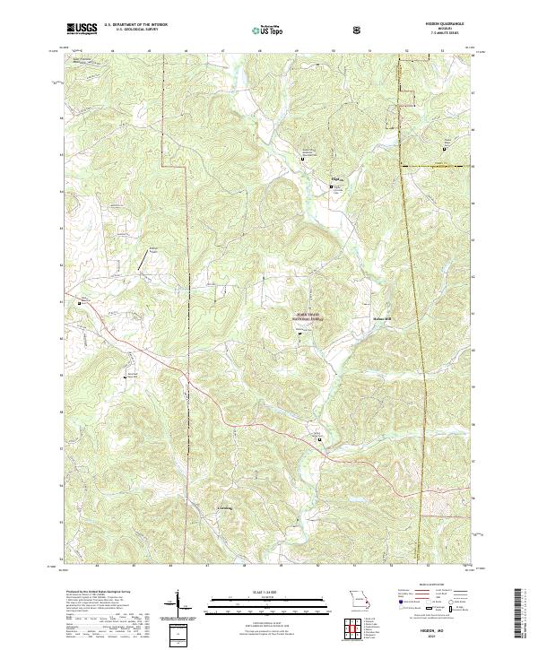 2021 Higdon2021 Print · USGSMadison County's eastern uplands are shown in detail here during the early twenty-first century, revealing a landscape of forested ridges and river valleys. Genealogists can trace family names at the Underwood Cem, Timber Ridge Cem, and the old settlement of Higdon.
 - 2021 Map of Neelys Landing, 2021 Print
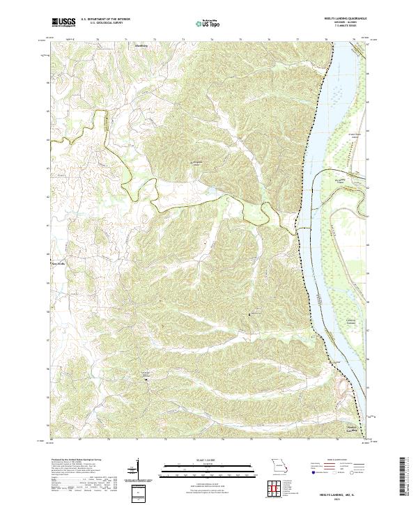 2021 Neelys Landing2021 Print · USGSThe Mississippi River border between Missouri and Illinois remains a land of river islands and rural bluffs in the early twenty-first century. Researchers can trace family roots at New Bethel Baptist Church Cem and the riverfront at Neelys Landing.
 - 2021 Map of Oak Ridge, 2021 Print
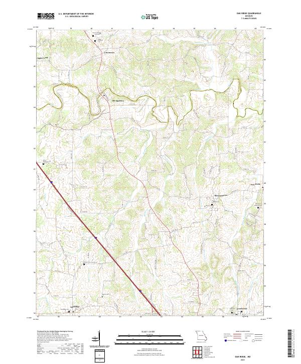 2021 Oak Ridge2021 Print · USGSThe borderlands of Cape Girardeau and Perry counties are revealed here in the early 2020s, highlighting a region defined by its Lutheran heritage. Researchers can trace historic cemeteries and small settlements including Old Appleton, New Wells, and the Zion Lutheran Cem.
 - 2021 Map of Womack, 2021 Print
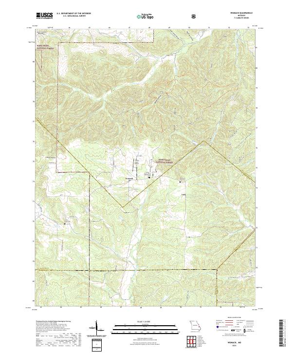 2021 Womack2021 Print · USGSSoutheast Missouri's mountain landscape is captured here in the early twenty-first century as it spans the borders of Ste. Genevieve, St. Francois, and Madison counties. Genealogists can locate family sites at the Silver Point Union Church Cem or trace the early paths of Old Jackson Rd and the Upper Castor River.
 - 2021 Map of Perryville West, 2021 Print
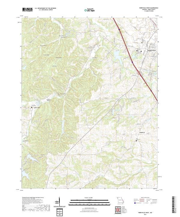 2021 Perryville West2021 Print · USGSPerry County's western outskirts and the growing city of Perryville are shown here during the early twenty-first century. Genealogists and local historians can trace family locations and church sites like Saint Joseph Cem in Highland or the Saint-Rose-of-Lima Cem near Silver Lake.
 - 2021 Map of Lithium, 2021 Print
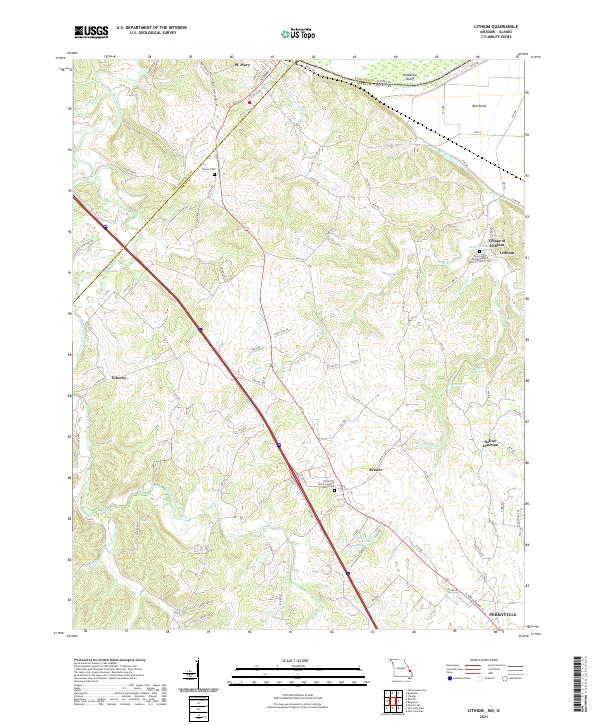 2021 Lithium2021 Print · USGSSoutheast Missouri's river borderlands come alive in this recent survey of the Lithium and Perryville areas. Genealogists and local historians can trace family roots at Brown Cem, locate the Village of Lithium, or study the Ball Mill Resurgence and Old River.
 - 2021 Map of Parker Lake, 2021 Print
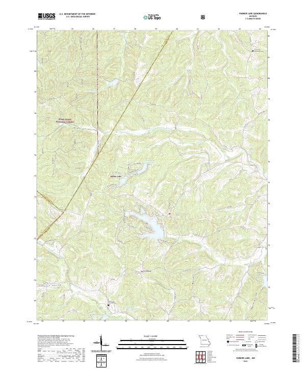 2021 Parker Lake2021 Print · USGSSoutheast Missouri at the dawn of the 2020s shows a landscape of deep timbered hollows and modern lakeside developments. Researchers can locate family roots at the Whitewater Christian Cem or trace the winding course of Nations Cr through Mark Twain National Forest.
 - 2021 Map of Belgique, 2021 Print
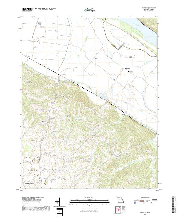 2021 Belgique2021 Print · USGSThe Missouri-Illinois borderlands come into focus in this contemporary survey, showing the shifting course of the Mississippi River and its backwaters. Genealogists can locate Preston Cem and the community of Belgique, while tracing the rural road network connecting Sereno and McBride.
 - 2024 Map of Kaskaskia, 2024 Print
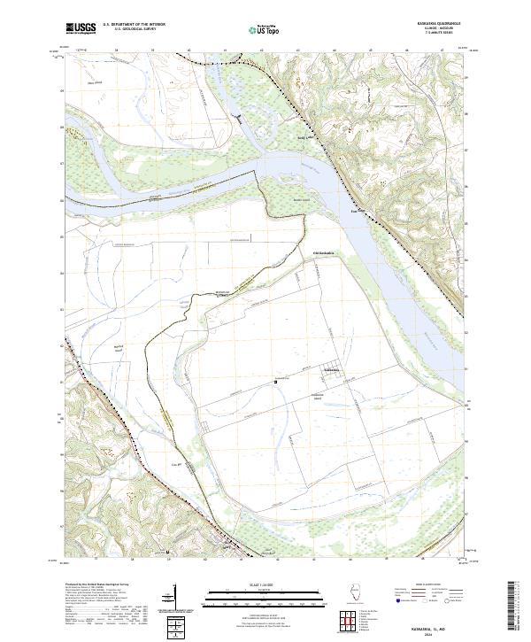 2024 Kaskaskia2024 Print · USGSCurrent-day Kaskaskia Island remains a geographical curiosity of the Illinois-Missouri border, defined by the shifting course of the Mississippi. Genealogists can trace the layout of Old Kaskaskia and St. Mary, or locate the Kaskaskia Cem among the river sloughs.
 - 2024 Map of Rockwood, 2024 Print
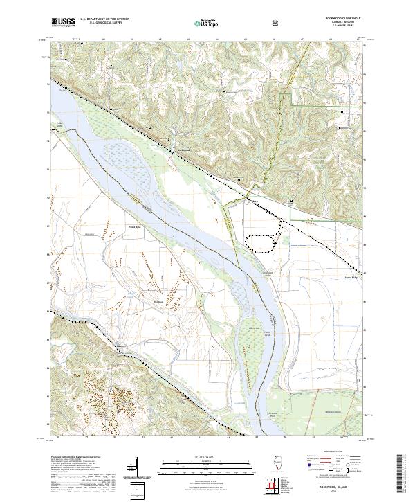 2024 Rockwood2024 Print · USGSThe Mississippi River bottomlands and Shawnee National Forest bluffs meet in this modern survey of the Illinois-Missouri border. Genealogists can locate numerous rural burial sites like Point Rest Lutheran Cem and Brown Cem near the historic river town of Rockwood.
 - 2024 Map of Wolf Lake, 2024 Print
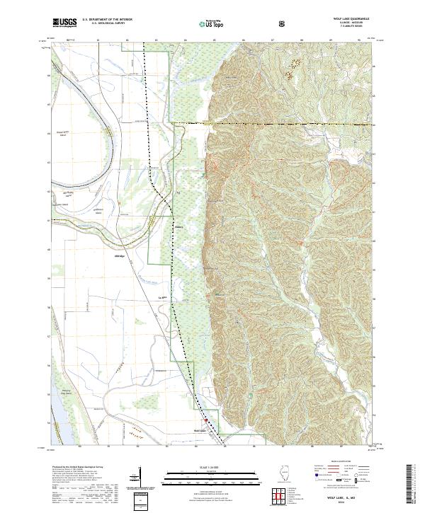 2024 Wolf Lake2024 Print · USGSSouthern Illinois river bottoms and forest highlands meet in this modern survey of the Big Muddy River corridor. Researchers can trace the layout of Aldridge and Wolf Lake or explore the trails of the Clear Springs Wilderness and Lead Mine Trl.
 - 2024 Map of Chester, 2024 Print
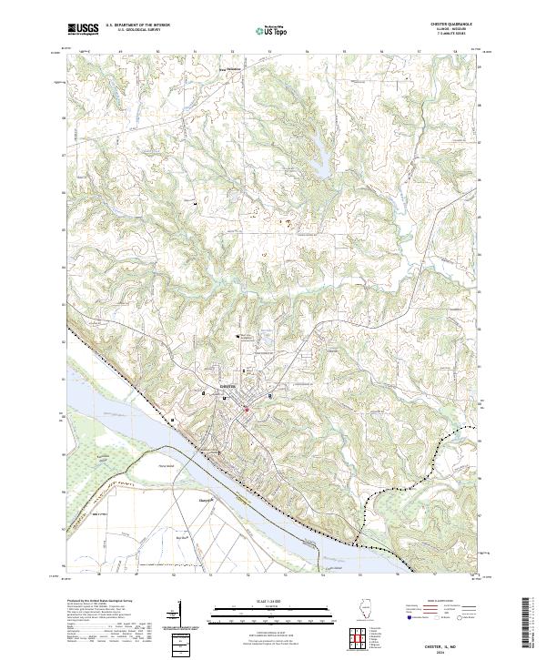 2024 Chester2024 Print · USGSThe Illinois-Missouri border at Chester is captured here in the 2020s, showing the complex river geography of the Mississippi River valley. Local historians can trace the vicinity of Kaskaskia Island, locate the Randolph County Courthouse, or find family names at Mann Cem and Evergreen Cem.
End of results
Showing maps 1-23 of 23
Top cities of Perry County
Frequently asked questions
- What are the different types of historical maps available for Perry County?
- What is the oldest map of Perry County?
- Where can I purchase historical maps of Perry County for my home or office?
- Where can I download high-res historical maps of Perry County?
- Are there historical topographic maps available for Perry County?
- Is there historical aerial imagery available for Perry County?
- Where are historical maps of Perry County sourced from?