2010s Maps of Perry County, Missouri
Explore 57 historic maps of Perry County from the 2010s. These maps offer a rare glimpse into what life looked like during the 2010s — showing old roads, neighborhoods, homes, and landmarks that have changed or disappeared over time.
Whether you're researching your family's past, planning a metal detecting trip, or studying how Perry County's landscape evolved across the 2010s, these high-resolution maps are a powerful tool for exploring the history of this region.
- Focus on a specific era: All maps on this page are from the 2010s, giving you a focused view of this time period.
- See what’s changed: Compare century-old streets, trails, and buildings to today's modern landscape using overlays and satellite layers.
- Research with precision: Use these maps for genealogy, historical research, land use analysis, or educational projects.
- View, download, or print: Maps are fully viewable online in high resolution, and can be downloaded or printed for your own records.
Start exploring Perry County's history through authentic maps from the 2010s. This is your window into the past.
Perry County, MO maps
(57)- 2011 Map of Parker Lake, 2011 Print
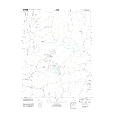 2011 Parker Lake2011 Print · USGSPerry County at the start of the 2010s shows a landscape of rural settlements and modern lake communities. Researchers can trace land development around Port Perry Number 2 Lake and locate quiet crossroads like Barks and Corners.
 - 2011 Map of Womack, 2011 Print
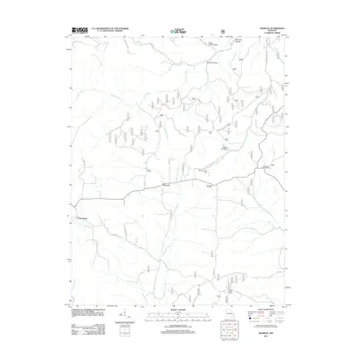 2011 Womack2011 Print · USGSThe rural landscape of Ste. Genevieve County is documented here in the early twenty-first century, centered on the community of Womack. Genealogists and local historians can locate the McDowell Cemetery and trace the paths of Upper Castor River or the Whitewater Lookout Tower.
 - 2011 Map of Patton, 2011 Print
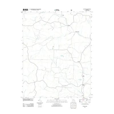 2011 Patton2011 Print · USGSThe rural landscapes of Perry County come into focus in the early twenty-first century, showing the small communities and creek-bottom lands south of Yount. Researchers can trace family homesteads near Heitmans Mill, Pleasant Hill Cemetery, and the cluster at Patton Junction.
 - 2011 Map of Minnith, 2011 Print
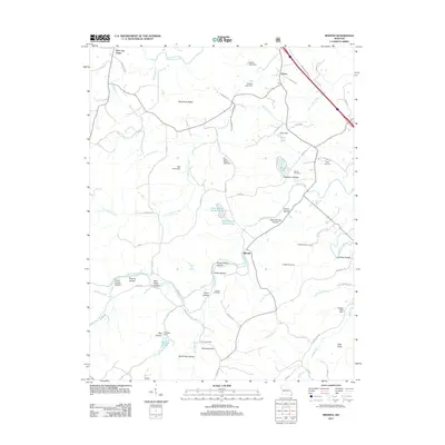 2011 Minnith2011 Print · USGSMinnith and the surrounding hollows of Sainte Genevieve County are captured here just over a decade ago. Researchers can trace ancestral sites and local landmarks like Roth Cemetery, Graveyard Hill, and the dual basins of Lake Minnie Ha-Ha Upper.
 - 2011 Map of Higdon, 2011 Print
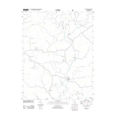 2011 Higdon2011 Print · USGSMadison County and the foothills of the Southeastern Ozarks are captured here just after the turn of the millennium. Researchers can locate the small settlements of Higdon and Cornwall, alongside family cemeteries like Underwood Cemetery and Peterman Cemetery.
 - 2012 Map of Oak Ridge, 2012 Print
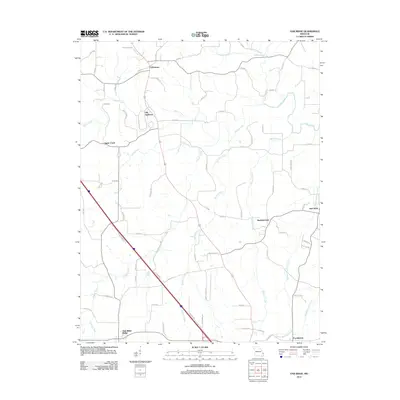 2012 Oak Ridge2012 Print · USGSSoutheastern Missouri's rural landscape is captured here in the early twenty-first century, showing the established communities of Old Appleton and Uniontown. Genealogists and local historians can trace family ties along Apple Creek and locate historic road junctions near Shawneetown and New Wells.
 - 2012 Map of Sedgewickville, 2012 Print
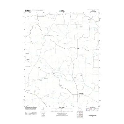 2012 Sedgewickville2012 Print · USGSBollinger County at the start of the twenty-first century remains a landscape of deep-rooted rural communities and family history. Researchers can trace ancestral sites and local landmarks like Bollinger Mill, Old Bollinger Cemetery, and the historic settlement of Sedgewickville.
 - 2012 Map of Perryville East, 2012 Print
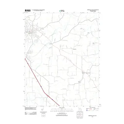 2012 Perryville East2012 Print · USGSThe eastern Missouri landscape near the Mississippi River was well-established by the early twenty-first century, featuring a dense network of rural settlements. Researchers can trace family history at Saint Boniface Cemetery or locate the historic center of Friedenberg and Longtown.
 - 2012 Map of Friedheim, 2012 Print
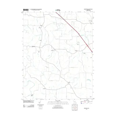 2012 Friedheim2012 Print · USGSMissouri's rural landscape at the start of the 2010s reveals a network of tight-knit agricultural settlements and ancestral burial grounds. Genealogists and local historians can trace family sites at Saint Maurus or Sides Cemetery, and locate historic hubs like Friedheim and Conrads Mill.
 - 2012 Map of Lithium, 2012 Print
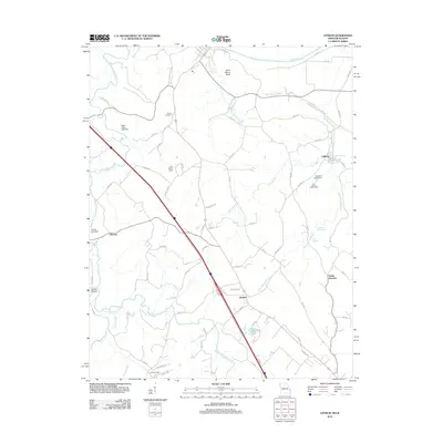 2012 Lithium2012 Print · USGSPerry County near the Mississippi River floodplain remains a landscape of springs and small settlements in the early 2010s. Researchers can trace local genealogy and land use through Brown Cemetery and the waters of Lithium Spring and Blue Spring.
 - 2012 Map of Crosstown, 2012 Print
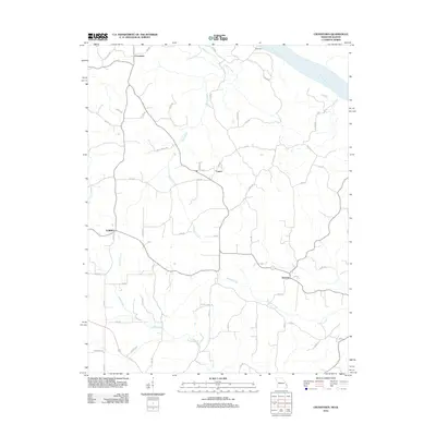 2012 Crosstown2012 Print · USGSThe bluffs of Perry County overlook the Mississippi River in this detailed modern survey of the Missouri-Illinois border. Genealogists and local historians can trace the rural layout of Crosstown, Farrar, and Brazeau alongside landmarks like Hickory Ridge Ln.
 - 2012 Map of Perryville West, 2012 Print
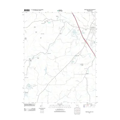 2012 Perryville West2012 Print · USGSPerryville and its western rural hinterland are shown here in the early 21st century, detailing the growth of the county seat toward the hills. You can trace the road networks connecting small settlements like Friendly Valley and Highland to landmarks like Mount Hope Cemetery and Perry County Community Lake.
 - 2012 Map of Belgique, 2012 Print
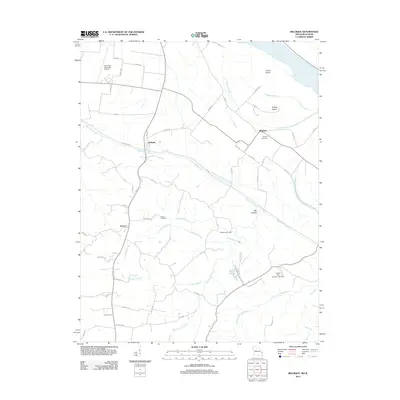 2012 Belgique2012 Print · USGSNear the Mississippi River in the early twenty-first century, this Perry County landscape reveals a mix of bottomland farming and upland creek drainages. Genealogists and historians can locate Nativity Cemetery, the site of McClannahan Mill, and the small settlement of McBride.
 - 2012 Map of Neelys Landing, 2012 Print
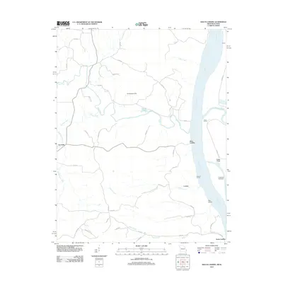 2012 Neelys Landing2012 Print · USGSThe Mississippi River borderlands come alive in this early twenty-first-century survey of the river's Missouri and Illinois banks. Researchers can trace the heritage of river commerce through sites like Neelys Landing, Hines Landing, and the inland community of New Wells.
 - 2012 Map of Kaskaskia, 2012 Print
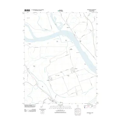 2012 Kaskaskia2012 Print · USGSThe Illinois-Missouri borderlands along the Mississippi River are captured here in a moment of modern continuity for these ancient river settlements. You can trace the unique geography of Kaskaskia Island, locating sites like Old Kaskaskia, Dozaville, and the historic Fort Gage.
 - 2012 Map of Chester, 2012 Print
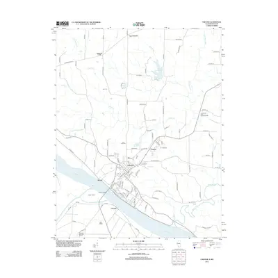 2012 Chester2012 Print · USGSThe Mississippi River bluffs in Randolph County come into focus during the early twenty-first century, showing the established river town and its rural neighbors. Trace local history through family-named landmarks and cemeteries like Mann Cem, Diamond Cross, and Evergreen Cem.
 - 2012 Map of Altenburg, 2012 Print
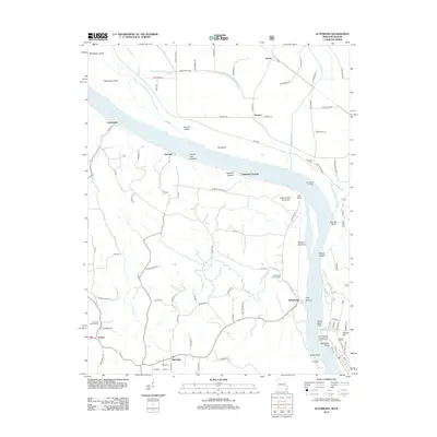 2012 Altenburg2012 Print · USGSThe Missouri-Illinois borderlands along the Mississippi River are shown here in the early twenty-first century, featuring riverfront settlements and rugged limestone landmarks. Genealogists can trace family roots at Saint Pauls Lutheran Cem or explore the sites of Wittenberg and Seventysix.
 - 2012 Map of Rockwood, 2012 Print
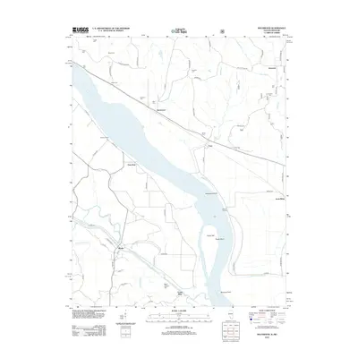 2012 Rockwood2012 Print · USGSThe riverfront and bluffs around Rockwood and Degognia are shown here during a time of modern rural stability. Researchers can locate over a dozen family burial sites including Hindman Cem and Kirk Cem, alongside river features like Allens Landing.
 - 2012 Map of Wolf Lake, 2012 Print
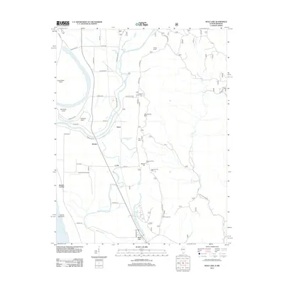 2012 Wolf Lake2012 Print · USGSThis early twenty-first-century survey captures the riverfront of Jackson County where the river bluffs meet the bottomlands. Researchers can trace historic river access points and settlements like Kings Ferry, Aldridge, and the namesake Wolf Lake.
 - 2015 Map of Minnith, 2015 Print
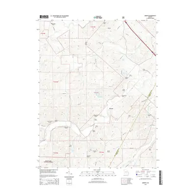 2015 Minnith2015 Print · USGSMinnith and the surrounding Ozark foothills of Ste. Genevieve County are captured here just after the millennium. Researchers can trace family history through local landmarks like Graveyard Hill, Roth Cemetery, and the deep valleys of Devils Den Hollow and Opossum Hollow.
 - 2015 Map of Sedgewickville, 2015 Print
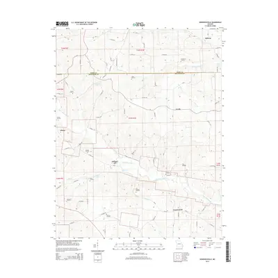 2015 Sedgewickville2015 Print · USGSThe borderlands of Perry and Bollinger counties come into focus during the mid-2010s, revealing a landscape of small settlements and family farmsteads. Genealogists can trace deep local roots through landmarks like Bollinger Mill, Old Bollinger Cemetery, and Schumer Springs.
 - 2015 Map of Parker Lake, 2015 Print
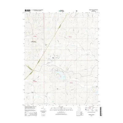 2015 Parker Lake2015 Print · USGSThe tri-county border area of Perry, Ste. Genevieve, and St. Francois counties comes into focus in this mid-2010s survey. Genealogists and local historians can trace family-named terrain like Anderson Hollow and Martin Hollow or locate settlements near Parker Lake.
 - 2015 Map of Friedheim, 2015 Print
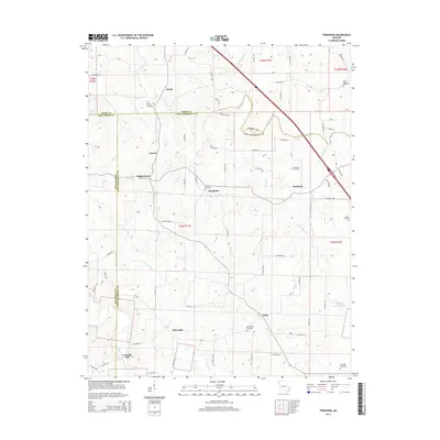 2015 Friedheim2015 Print · USGSSoutheast Missouri at the edge of the Ozark foothills is depicted here through its network of small communities and family burial grounds. Researchers can trace ancestral roots at Saint Maurus Cemetery or locate historic homesteads near Friedheim and Daisy.
 - 2015 Map of Womack, 2015 Print
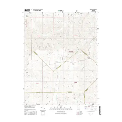 2015 Womack2015 Print · USGSThe foothills of the Saint Francois Mountains appear here in detail, centered on the rural communities of Womack and Cross Roads. Researchers can trace old family burial sites at McDowell Cemetery or follow the headwaters of the Upper Castor River through the Mark Twain National Forest.
 - 2015 Map of Higdon, 2015 Print
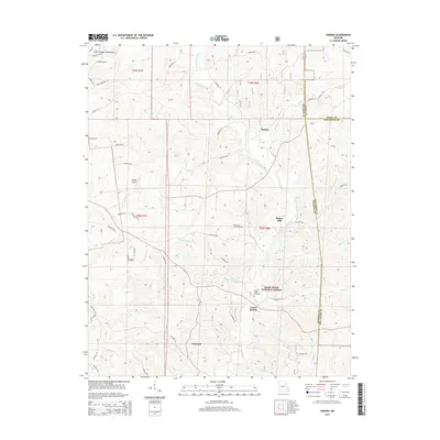 2015 Higdon2015 Print · USGSMadison County's eastern uplands are shown in detail during the mid-2010s, capturing the rural character of the Missouri Ozarks. Genealogists and local historians can locate early burial sites like Underwood Cemetery and trace the paths of Upper Castor River and Spring Valley Cr.
Showing maps 1-25 of 57
Top cities of Perry County
Frequently asked questions
- What are the different types of historical maps available for Perry County?
- What is the oldest map of Perry County?
- Where can I purchase historical maps of Perry County for my home or office?
- Where can I download high-res historical maps of Perry County?
- Are there historical topographic maps available for Perry County?
- Is there historical aerial imagery available for Perry County?
- Where are historical maps of Perry County sourced from?