2000s (21st Century) Maps of Edgerton, Missouri
Explore 16 historic maps of Edgerton from the 2000s (21st Century). These maps offer a rare glimpse into what life looked like during the 2000s — showing old roads, neighborhoods, homes, and landmarks that have changed or disappeared over time.
Whether you're researching your family's past, planning a metal detecting trip, or studying how Edgerton's landscape evolved across the 2000s, these high-resolution maps are a powerful tool for exploring the history of this region.
- Focus on a specific era: All maps on this page are from the 2000s, giving you a focused view of this time period.
- See what’s changed: Compare century-old streets, trails, and buildings to today's modern landscape using overlays and satellite layers.
- Research with precision: Use these maps for genealogy, historical research, land use analysis, or educational projects.
- View, download, or print: Maps are fully viewable online in high resolution, and can be downloaded or printed for your own records.
Start exploring Edgerton's history through authentic maps from the 2000s. This is your window into the past.
Edgerton, MO maps
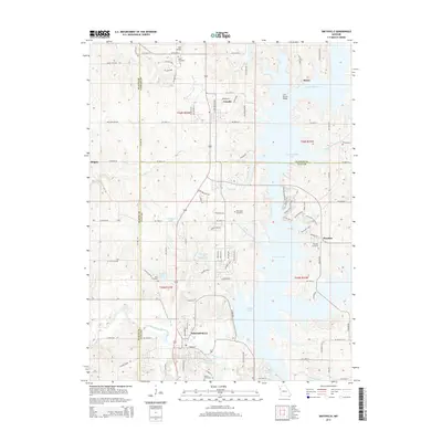
(16)- 2012 Map of Smithville, 2012 Print
 2012 Smithville2012 Print · USGSCovers Edgerton, including Smithville, Trimble, and other nearby areas
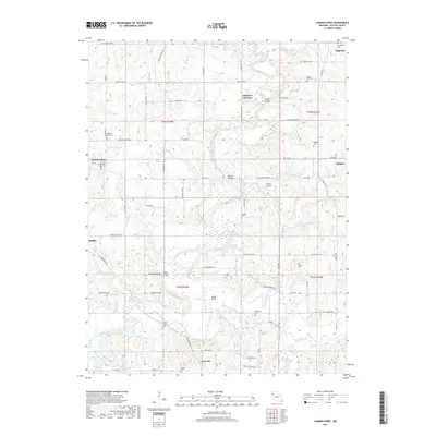
 - 2012 Map of Camden Point, 2012 Print
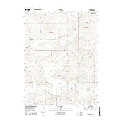
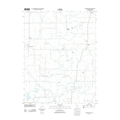 2012 Camden Point2012 Print · USGSCovers Edgerton, including Camden Point, Ridgely, and other nearby areas
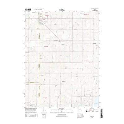
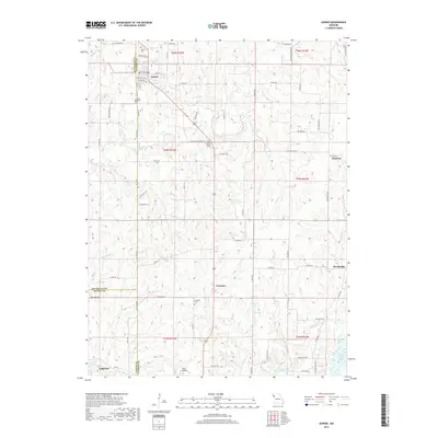
 - 2012 Map of Gower, 2012 Print
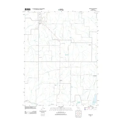 2012 Gower2012 Print · USGSCovers Edgerton, including Gower, Grayson, and other nearby areas
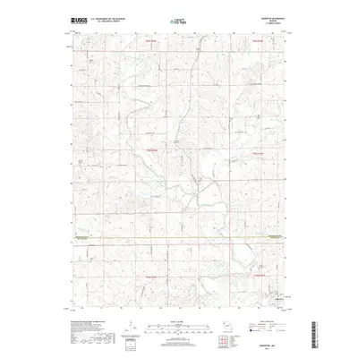
 - 2012 Map of Edgerton, 2012 Print
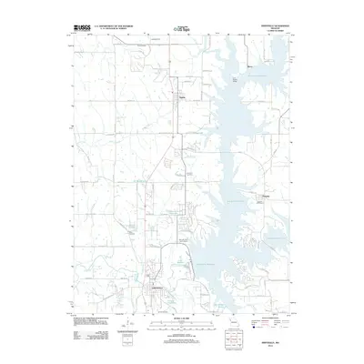
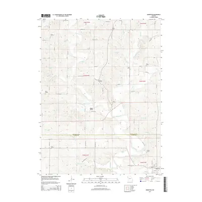
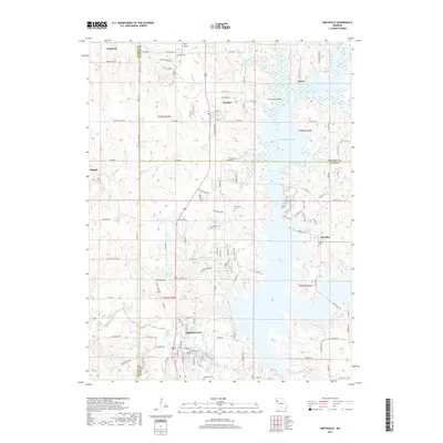
 2012 Edgerton2012 Print · USGSCovers Edgerton, including Platte River, Platte County, and other nearby areas
 - 2014 Map of Edgerton, 2014 Print
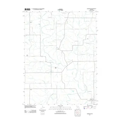
 2014 Edgerton2014 Print · USGSCovers Edgerton, including Platte River, Platte County, and other nearby areas
 - 2014 Map of Camden Point, 2014 Print
 2014 Camden Point2014 Print · USGSCovers Edgerton, including Camden Point, Ridgely, and other nearby areas
 - 2015 Map of Smithville, 2015 Print
 2015 Smithville2015 Print · USGSCovers Edgerton, including Smithville, Trimble, and other nearby areas
 - 2015 Map of Gower, 2015 Print
 2015 Gower2015 Print · USGSCovers Edgerton, including Gower, Grayson, and other nearby areas
 - 2017 Map of Smithville, 2017 Print
 2017 Smithville2017 Print · USGSCovers Edgerton, including Smithville, Trimble, and other nearby areas
 - 2017 Map of Edgerton, 2017 Print
 2017 Edgerton2017 Print · USGSCovers Edgerton, including Platte River, Platte County, and other nearby areas
 - 2017 Map of Gower, 2017 Print
 2017 Gower2017 Print · USGSCovers Edgerton, including Gower, Grayson, and other nearby areas
 - 2017 Map of Camden Point, 2017 Print
 2017 Camden Point2017 Print · USGSCovers Edgerton, including Camden Point, Ridgely, and other nearby areas
 - 2021 Map of Edgerton, 2021 Print
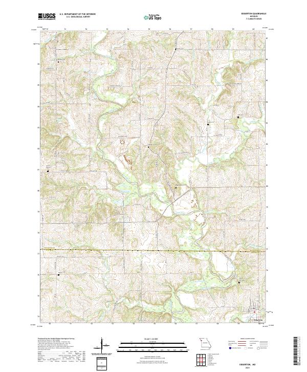 2021 Edgerton2021 Print · USGSThe borderlands of Buchanan and Platte County come into focus during the early 2020s, centered on the rural community of Edgerton. Genealogists can trace local family lineages through numerous burial sites including Hebron Cem, Frazier Cem, and Tobin Cem.
 - 2021 Map of Camden Point, 2021 Print
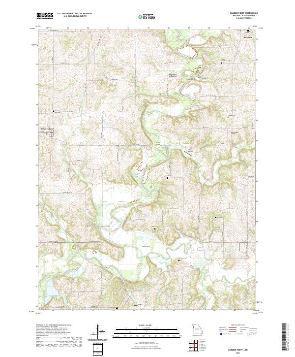 2021 Camden Point2021 Print · USGSThe Platte River valley in modern Missouri remains a landscape of quiet rural settlements and family burial grounds. Researchers can trace ancestral sites at Mount Zion Zion Cem or Chinn Cem and locate historic crossings like Skinner Bridge.
 - 2021 Map of Smithville, 2021 Print
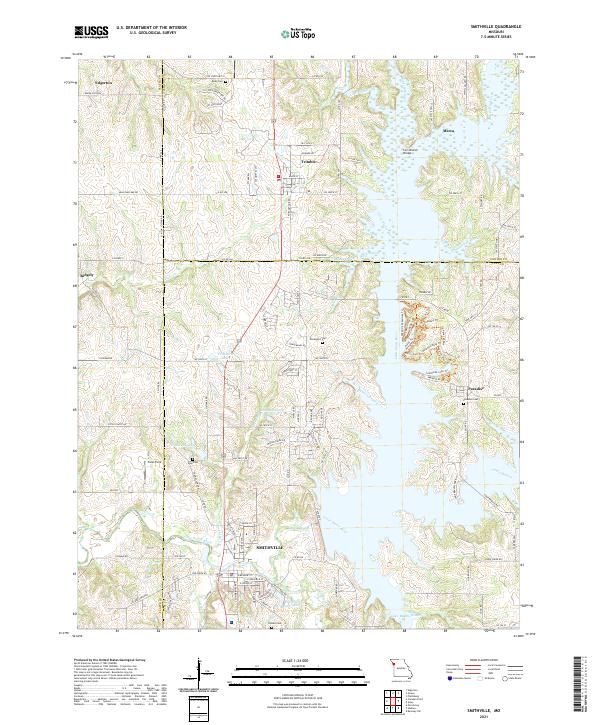 2021 Smithville2021 Print · USGSThe rural landscape of Clay, Platte, and Clinton Counties is shown here in the 2020s as the river valleys surround Smithville. Researchers can locate several family burial grounds like Goss Cem and Brooks Cem or trace the winding Little Platte River.
 - 2021 Map of Gower, 2021 Print
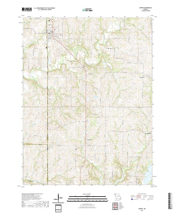 2021 Gower2021 Print · USGSThe rural landscapes of Clinton and Buchanan counties are captured here in the early twenty-first century. Genealogists and local researchers can trace family landmarks and burial grounds such as Grayson Cem, Antioch Cem, and the small settlement of Scearces.
End of results
Showing maps 1-16 of 16
Top cities near Edgerton
- Kansas City historical maps
- Saint Joseph historical maps
- Liberty historical maps
- Smithville historical maps
- Platte City historical maps
- Plattsburg historical maps
See more
Frequently asked questions
- What are the different types of historical maps available for Edgerton?
- What is the oldest map of Edgerton?
- Where can I purchase historical maps of Edgerton for my home or office?
- Where can I download high-res historical maps of Edgerton?
- Are there historical topographic maps available for Edgerton?
- Is there historical aerial imagery available for Edgerton?
- Where are historical maps of Edgerton sourced from?