Old Maps of Ridgely, Missouri for Metal Detecting
Plan your next treasure hunt with 21 historic maps of Ridgely. Find old homesites, ghost towns, trails, and gathering spots that may be lost to time — perfect for identifying promising metal detecting locations.
- Locate forgotten sites: Uncover places like long-lost settlements, abandoned rail lines, or gathering spots.
- Plan better hunts: Use map overlays combined with LiDAR or satellite views to narrow in on historically rich areas.
- Made for detectorists: Thousands of hobbyists use these maps to discover relics, coins, and hidden history.
Use these historic maps to boost your research and find new opportunities beneath the surface of Ridgely.
Ridgely, MO maps
(21)- 1890 Map of Kansas City
 1890 Kansas City1890 Print · USGSThe Missouri River valley at the turn of the decade shows a booming rail-and-river economy centered on KANSAS CITY. Researchers can trace the early footprints of settlements like White Church, Lansing, and Smithville before modern expansion.2 unique versions available
 - 1894 Map of Kansas City
 1894 Kansas City1894 Print · USGSThe Missouri River valley at the close of the nineteenth century was a bustling intersection of military life and frontier commerce. Genealogists can trace family roots through river towns like Weston and Parkville or locate early railroad hubs at Settles Station and Beverly Junction.14 unique versions available
 - 1914 Map of Smithville
 1914 Smithville1914 Print · USGSMissouri's northern river valleys are depicted here just before the Great War, showing a landscape of rail-dependent small towns and rural school districts. Genealogists can trace family footprints through numerous community landmarks like Paradise, Hixson Mill, and Mt. Zion School.4 unique versions available
 - 1950 Map of Kansas City
 1950 Kansas City1950 Print · USGSMid-century Kansas and Missouri are captured here during a period of industrial growth and shifting transportation. Genealogists and historians can trace rail lines like the Wabash RR or locate ancestral homes near the Potawatomi Indian Reservation and Horton.
 - 1950 Map of Smithville
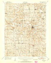 1950 Smithville1950 Print · USGSThe rural borderlands of Platte, Clay, and Clinton counties are shown here just after the war, defined by the winding Platte River and a network of small farm towns. Researchers can trace the locations of dozens of vanished schools and cemeteries, from the Masonic Cemetery to the South Gale School and the historic Covered Bridge.2 unique versions available
 - 1951 Map of Smithville
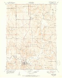 1951 Smithville1951 Print · USGSNorth of Kansas City in the early 1950s, this area shows a landscape of river-valley farms and small rural settlements. Researchers can locate numerous one-room schoolhouses like Rocky Point School and trace family-named landmarks such as Reed Cemetery and Rice Bridge.2 unique versions available
 - 1951 Map of Camden Point
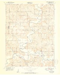 1951 Camden Point1951 Print · USGSNorthern Platte County in the early fifties shows a landscape of river-bend farms and rural townships. Trace family roots at Standiford Cem or find old school sites like Franklin Sch and the community at Camden Point.2 unique versions available
 - 1954 Map of Kansas City
 1954 Kansas City1954 Print · USGSThe Missouri-Kansas borderlands flourished in the post-war era as river commerce and rail networks converged at the Missouri River. Genealogists and historians can trace the foundations of Kansas City and smaller rural hubs like Hiawatha or Sabetha.
 - 1956 Map of Kansas City, 1967 Print
 1956 Kansas City1967 Print · USGSThe Kansas-Missouri border region thrived during the mid-fifties, centered on the growing metropolitan cores and the busy river valleys. Researchers can trace the layout of significant government sites like Fort Leavenworth and the Lake City Army Ammunition Plant.4 unique versions available
 - 1960 Map of Kansas City
 1960 Kansas City1960 Print · USGSMid-century Kansas and Missouri meet at the river forks, showing a sprawling rail-and-river economy during the 1950s growth era. Genealogists and researchers can trace tribal lands like the Kickapoo Indian Reservation or follow the early interstate corridors through Saint Joseph and Independence.3 unique versions available
 - 1961 Map of Smithville, 1962 Print
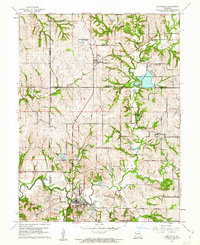 1961 Smithville1962 Print · USGSNorth of Kansas City in the early sixties, this area shows a landscape of river-bottom settlements and emerging wildlife management. Trace local genealogy and infrastructure through Reed Cem, the Old Railroad Grade, and the small communities of Mecca and Paradise.3 unique versions available
 - 1961 Map of Camden Point, 1962 Print
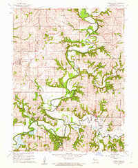 1961 Camden Point1962 Print · USGSPlatte County in the early sixties reveals a landscape where the Platte River meanders through agricultural townships. Genealogists and historians can trace an Old Railroad Grade and locate numerous family burial sites like McComas Cem and Smith Cem.2 unique versions available
 - 1983 Map of Kansas City
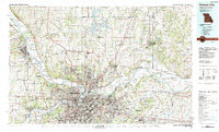 1983 Kansas City1983 Print · USGSThe Missouri-Kansas borderlands reached a peak of suburban and industrial connectivity by the early eighties. Researchers can trace established neighborhoods and major landmarks like the Fort Leavenworth Military Reservation, Swope Park, and the U.S. Army Ammunition Plant.
 - 2012 Map of Smithville, 2012 Print
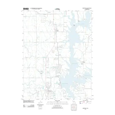 2012 Smithville2012 Print · USGSThe reservoir landscape north of Kansas City comes into focus during the early 2010s. Genealogists can locate family burial sites like Paradise Cemetery and Davenport Cemetery near the shores of Smithville Reservoir.
 - 2012 Map of Camden Point, 2012 Print
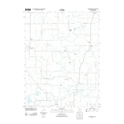 2012 Camden Point2012 Print · USGSPlatte County remains a landscape of river bends and rural crossroads in the early twenty-first century. Genealogists and local historians can trace family ties at Mount Zion Cemetery or McComas Cemetery and locate landmarks like Skinner Bridge along the Platte River.
 - 2014 Map of Camden Point, 2014 Print
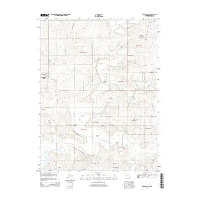 2014 Camden Point2014 Print · USGSNear the forks of the Platte River in the early 2010s, this area of Missouri reveals a deeply rooted rural landscape. Family historians can trace local lineage through numerous burial grounds like Mount Zion Cemetery and Ridgeley Cemetery or find old connection points at Edgerton Junction.
 - 2015 Map of Smithville, 2015 Print
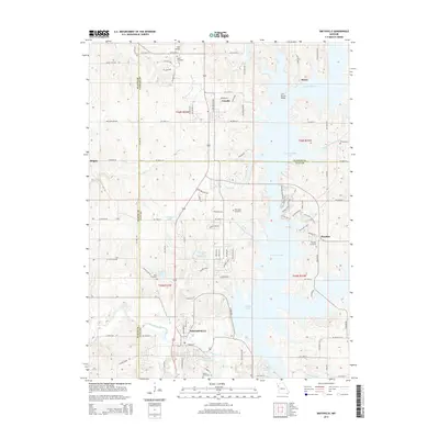 2015 Smithville2015 Print · USGSNorth of Kansas City in the mid-2010s, this area shows the sprawling reach of Smithville Lake into rural Clay and Clinton counties. Genealogists and local historians can trace the sites of Paradise Cemetery, Gaus Cemetery, and the old settlements of Trimble and Mecca.
 - 2017 Map of Smithville, 2017 Print
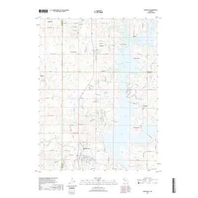 2017 Smithville2017 Print · USGSThe Smithville area in the late 2010s shows a landscape reshaped by the Little Platte River and modern reservoirs. Genealogists can locate several family burial sites like Reed Cem and Gaus Cem near settlements such as Trimble and Paradise.
 - 2017 Map of Camden Point, 2017 Print
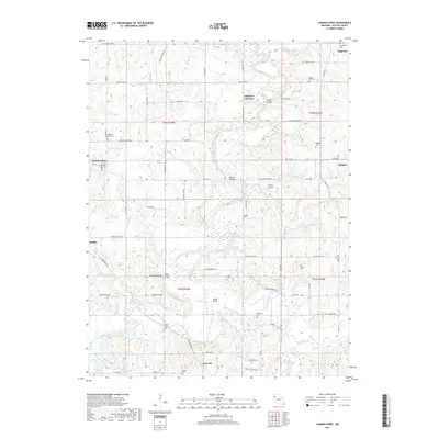 2017 Camden Point2017 Print · USGSNorthwestern Missouri's Platte County landscape is documented here in the early twenty-first century, centered on the Edgerton and Camden Point areas. Genealogists can trace numerous family burial grounds like Mount Zion Cem or Lutes Cem and find old river crossings at Skinner Bridge.
 - 2021 Map of Camden Point, 2021 Print
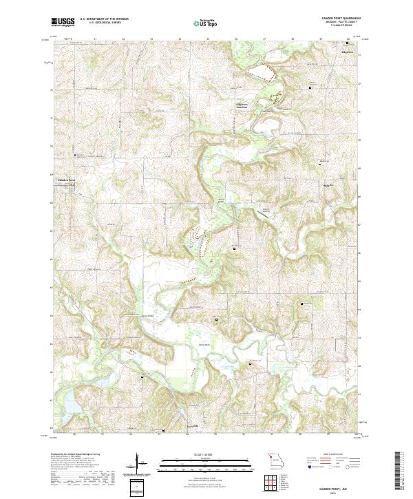 2021 Camden Point2021 Print · USGSThe Platte River valley in modern Missouri remains a landscape of quiet rural settlements and family burial grounds. Researchers can trace ancestral sites at Mount Zion Zion Cem or Chinn Cem and locate historic crossings like Skinner Bridge.
 - 2021 Map of Smithville, 2021 Print
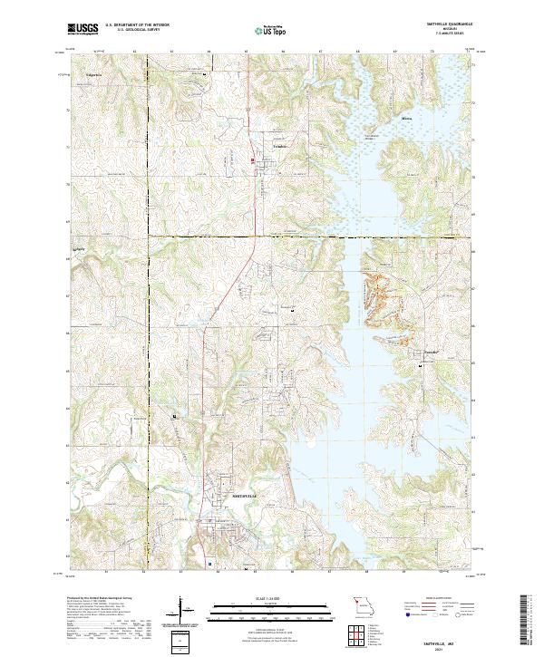 2021 Smithville2021 Print · USGSThe rural landscape of Clay, Platte, and Clinton Counties is shown here in the 2020s as the river valleys surround Smithville. Researchers can locate several family burial grounds like Goss Cem and Brooks Cem or trace the winding Little Platte River.
End of results
Showing maps 1-21 of 21
Top cities near Ridgely
- Kansas City historical maps
- Liberty historical maps
- Gladstone historical maps
- Lansing historical maps
- Smithville historical maps
- Parkville historical maps
See more
Frequently asked questions
- What are the different types of historical maps available for Ridgely?
- What is the oldest map of Ridgely?
- Where can I purchase historical maps of Ridgely for my home or office?
- Where can I download high-res historical maps of Ridgely?
- Are there historical topographic maps available for Ridgely?
- Is there historical aerial imagery available for Ridgely?
- Where are historical maps of Ridgely sourced from?