Old Maps of Bolivar, Missouri for Genealogy
Trace your family roots with 17 historic maps of Bolivar. These high-res maps reveal old neighborhoods, homesites, landmarks, and streets — helping you uncover where your ancestors lived and how the area evolved over time.
- Explore historic neighborhoods: Identify where your relatives may have lived in the 1800s or 1900s.
- Compare maps over time: Trace the changes in streets, buildings, and landmarks for multi-generational research.
- Perfect for genealogy & ancestry research: Used by family historians and researchers to map out lineage and migration.
These maps are an incredible resource for exploring your personal connection to Bolivar's past.
Bolivar, MO maps
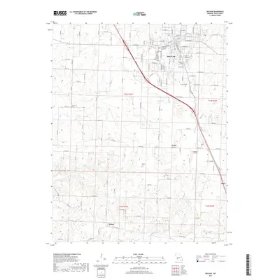
(17)- 1884 Map of Bolivar
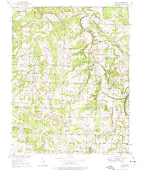
 1884 Bolivar1884 Print · USGSSouthwestern Missouri in the mid-1880s is documented here at a time when river drainage and ridge-top travel dictated the growth of local townships. Researchers can trace early rural post offices and communities like Hermitage, Half Way, and Parks Mill.
 - 1892 Map of Bolivar, 1898 Print
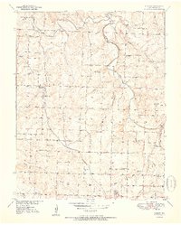
 1892 Bolivar1898 Print · USGSMissouri's central Ozarks borderlands are captured here in the 1880s, showcasing the early layout of Polk and Hickory counties. Genealogists can trace family roots through localized sites like Parks Mill, the early street grids of Bolivar and Buffalo, and the settlement at Hermitage.5 unique versions available
 - 1950 Map of Cliquot, 1975 Print
 1950 Cliquot1975 Print · USGSPolk County life at mid-century is centered on the St Louis San Francisco railroad and the winding Pomme de Terre River. Researchers can trace old family roots at Morgan Cem or locate former rural hubs like Cliquot and Flint Sch.2 unique versions available
 - 1951 Map of Cliquot
 1951 Cliquot1951 Print · USGSPolk County, Missouri, in the early fifties shows a landscape of small family farms connected by a dense network of schoolhouses and rural churches. Genealogists and local historians can trace family roots through numerous sites like Union Grove Cem, Watson Sch, and the community at Cliquot.2 unique versions available
 - 1954 Map of Springfield
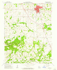
 1954 Springfield1954 Print · USGSThe Missouri Ozarks are captured here during the post-war era, showing the expansion of Springfield and the surrounding river valleys. Genealogists and historians can trace local landmarks like Mount Comfort Cemetery and the Fort Leonard Wood military grounds.6 unique versions available
 - 1958 Map of Springfield
 1958 Springfield1958 Print · USGSThe Missouri Ozarks are captured during the mid-century era of growth, centered on the bustling hub of Springfield. Genealogists and historians can trace family roots through numerous landmarks like Ebenezer Church, Stockton Cem, and the various county courthouses.
 - 1959 Map of Springfield
 1959 Springfield1959 Print · USGSThe Missouri Ozarks are captured here during a decade of postwar growth and increasing highway connectivity. Researchers can trace the legacy of the St Louis-San Francisco RR and locate early sites in Springfield, Lebanon, and Mountain Grove.
 - 1961 Map of Bolivar, 1962 Print
 1961 Bolivar1962 Print · USGSBolivar and the surrounding Polk County countryside are captured here in the early sixties as the St Louis San Francisco railroad still linked rural outposts. Genealogists can trace family footprints at Spencer Cem, Hickory Point Ch, or the campus of Southwest Baptist Col.2 unique versions available
 - 1984 Map of Bolivar
 1984 Bolivar1984 Print · USGSWestern Missouri in the mid-eighties shows a landscape shaped by large-scale water management and rail commerce. Genealogists and historians can trace the development of towns like Bolivar and El Dorado Springs alongside the massive Stockton Lake.
 - 2011 Map of Cliquot, 2011 Print
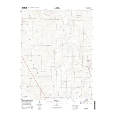
 2011 Cliquot2011 Print · USGSCovers Bolivar, including Cliquot, Polk County, and other nearby areas
 - 2011 Map of Bolivar, 2011 Print
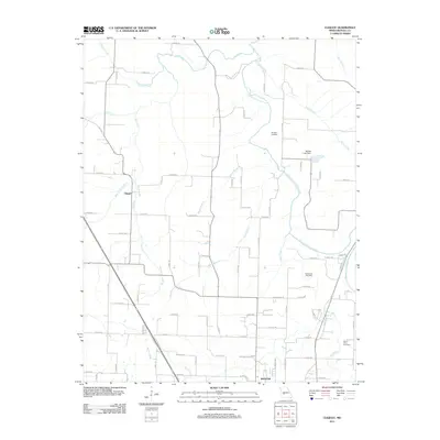
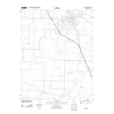 2011 Bolivar2011 Print · USGSCovers Bolivar, including Wishart, Slagle, and other nearby areas
 - 2015 Map of Bolivar, 2015 Print
 2015 Bolivar2015 Print · USGSCovers Bolivar, including Wishart, Slagle, and other nearby areas
 - 2015 Map of Cliquot, 2015 Print
 2015 Cliquot2015 Print · USGSCovers Bolivar, including Cliquot, Polk County, and other nearby areas
 - 2017 Map of Cliquot, 2017 Print
 2017 Cliquot2017 Print · USGSCovers Bolivar, including Cliquot, Polk County, and other nearby areas
 - 2017 Map of Bolivar, 2017 Print
 2017 Bolivar2017 Print · USGSCovers Bolivar, including Wishart, Slagle, and other nearby areas
 - 2021 Map of Bolivar, 2021 Print
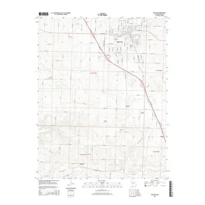
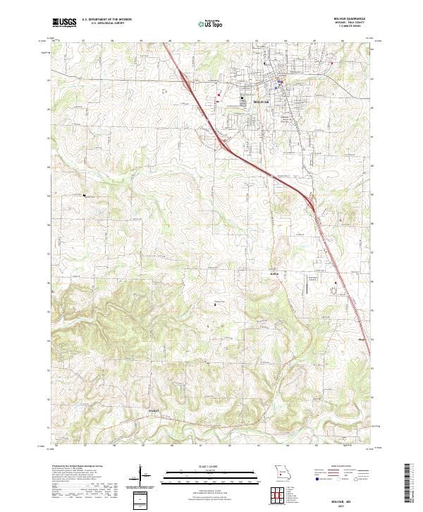 2021 Bolivar2021 Print · USGSBolivar and central Polk County are shown here in the early 2020s, centered on the county seat and the Southwest Baptist University campus. You can trace the historic rail corridor turned Frisco Highline Trl as it passes Karlin and Wishart toward the county line.
 - 2021 Map of Cliquot, 2021 Print
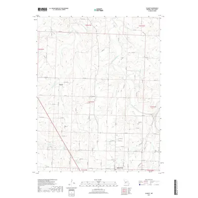
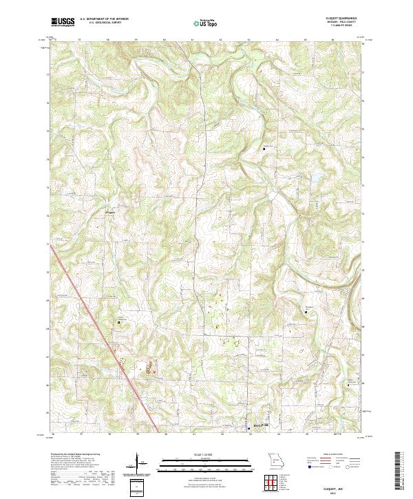 2021 Cliquot2021 Print · USGSPolk County's rolling landscape near the Missouri Ozarks is documented here in the early twenty-first century. Genealogists can locate family landmarks like Union Grove Cem and Richardson Cem set among the waters of Ashlock Creek and the Pomme de Terre River.
End of results
Showing maps 1-17 of 17
Top cities near Bolivar
- Humansville historical maps
- Walnut Grove historical maps
- Pleasant Hope historical maps
- Fair Play historical maps
- Morrisville historical maps
- Halfway historical maps
See more
Frequently asked questions
- What are the different types of historical maps available for Bolivar?
- What is the oldest map of Bolivar?
- Where can I purchase historical maps of Bolivar for my home or office?
- Where can I download high-res historical maps of Bolivar?
- Are there historical topographic maps available for Bolivar?
- Is there historical aerial imagery available for Bolivar?
- Where are historical maps of Bolivar sourced from?