2020s Maps of Saint Robert, Missouri
Explore 2 historic maps of Saint Robert from the 2020s. These maps offer a rare glimpse into what life looked like during the 2020s — showing old roads, neighborhoods, homes, and landmarks that have changed or disappeared over time.
Whether you're researching your family's past, planning a metal detecting trip, or studying how Saint Robert's landscape evolved across the 2020s, these high-resolution maps are a powerful tool for exploring the history of this region.
- Focus on a specific era: All maps on this page are from the 2020s, giving you a focused view of this time period.
- See what’s changed: Compare century-old streets, trails, and buildings to today's modern landscape using overlays and satellite layers.
- Research with precision: Use these maps for genealogy, historical research, land use analysis, or educational projects.
- View, download, or print: Maps are fully viewable online in high resolution, and can be downloaded or printed for your own records.
Start exploring Saint Robert's history through authentic maps from the 2020s. This is your window into the past.
Saint Robert, MO maps
(2)- 2021 Map of Waynesville, 2021 Print
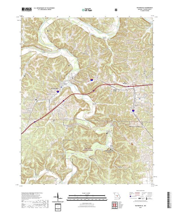 2021 Waynesville2021 Print · USGSWaynesville and St. Robert are shown in the early twenty-first century as they border the northern edge of the sprawling Fort Leonard Wood. Genealogists and local historians can trace family roots at Laughlin Cem, Stories Cem, and the Missouri State Veterans Cem.
 - 2021 Map of Devils Elbow, 2021 Print
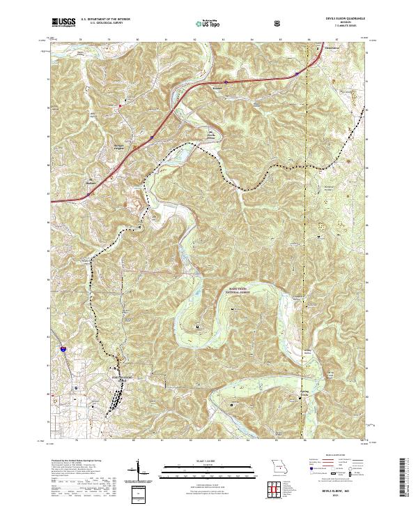 2021 Devils Elbow2021 Print · USGSPulaski County at the start of the 2020s shows the winding Big Piney River alongside the growth of St. Robert. Researchers can trace rural lineages through numerous burial sites like Mayfield Cem and Spaulding Cem.
End of results
Showing maps 1-2 of 2
Top cities near Saint Robert
Top neighborhoods of Saint Robert
Frequently asked questions
- What are the different types of historical maps available for Saint Robert?
- What is the oldest map of Saint Robert?
- Where can I purchase historical maps of Saint Robert for my home or office?
- Where can I download high-res historical maps of Saint Robert?
- Are there historical topographic maps available for Saint Robert?
- Is there historical aerial imagery available for Saint Robert?
- Where are historical maps of Saint Robert sourced from?