Old Maps of Saint Robert, Missouri for Genealogy
Trace your family roots with 22 historic maps of Saint Robert. These high-res maps reveal old neighborhoods, homesites, landmarks, and streets — helping you uncover where your ancestors lived and how the area evolved over time.
- Explore historic neighborhoods: Identify where your relatives may have lived in the 1800s or 1900s.
- Compare maps over time: Trace the changes in streets, buildings, and landmarks for multi-generational research.
- Perfect for genealogy & ancestry research: Used by family historians and researchers to map out lineage and migration.
These maps are an incredible resource for exploring your personal connection to Saint Robert's past.
Saint Robert, MO maps
(22)- 1936 Map of Waynesville
 1936 Waynesville1936 Print · USGSPulaski County during the mid-1930s is defined by its winding river valleys and the expansion of the Gardner National Forest. Researchers can trace ancestral locations through an extensive network of rural landmarks, including the Old Indian Lead Mine, Riddle Bridge, and the Sweet Home Ch.
 - 1942 Map of Waynesville
 1942 Waynesville1942 Print · USGSPulaski County during the early 1940s shows a landscape of deep river bends and the emergence of wartime infrastructure. Genealogists can trace family roots through numerous sites like Burchard Cem, the Old Indian Lead Mine, and the original footprint of Fort Leonard Wood.
 - 1944 Map of Waynesville
 1944 Waynesville1944 Print · USGSPulaski County at the peak of the Second World War shows a landscape in transition as the new Fort Leonard Wood takes shape among the Ozark hills. Genealogists and researchers can trace family-named sites like Wheelers Mill, Riddle Bridge, and the Joiner Cem along the winding Gasconade River.2 unique versions available
 - 1954 Map of Springfield
 1954 Springfield1954 Print · USGSThe Missouri Ozarks are captured here during the post-war era, showing the expansion of Springfield and the surrounding river valleys. Genealogists and historians can trace local landmarks like Mount Comfort Cemetery and the Fort Leonard Wood military grounds.6 unique versions available
 - 1954 Map of Waynesville, 1958 Print
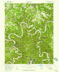 1954 Waynesville1958 Print · USGSThe Missouri Ozarks are captured here during the mid-fifties, showing the expansion of Fort Leonard Wood and the winding course of the Gasconade River. Researchers can locate dozens of country landmarks, from the Dixon Lookout Tower to rural sites like Wheeler Mill and the Pisgah School.2 unique versions available
 - 1954 Map of Devils Elbow, 1959 Print
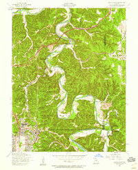 1954 Devils Elbow1959 Print · USGSMid-century Pulaski County is defined here by the winding Big Piney River and the sprawling footprint of a major military installation. Local historians can trace family sites like Spaulding Cem and the small rail siding at Hunt Siding along the river bluffs.5 unique versions available
 - 1954 Map of Waynesville, 1959 Print
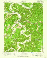 1954 Waynesville1959 Print · USGSWaynesville and the surrounding Ozark hollows are captured in the mid-fifties as the local landscape adapted to the presence of the neighboring military reservation. Genealogists can trace family landmarks and rural institutions like Gospel Ridge Union Church, Storie Cem, and the Old Indian Lead Mine.5 unique versions available
 - 1958 Map of Springfield
 1958 Springfield1958 Print · USGSThe Missouri Ozarks are captured during the mid-century era of growth, centered on the bustling hub of Springfield. Genealogists and historians can trace family roots through numerous landmarks like Ebenezer Church, Stockton Cem, and the various county courthouses.
 - 1959 Map of Springfield
 1959 Springfield1959 Print · USGSThe Missouri Ozarks are captured here during a decade of postwar growth and increasing highway connectivity. Researchers can trace the legacy of the St Louis-San Francisco RR and locate early sites in Springfield, Lebanon, and Mountain Grove.
 - 1976 Map of Waynesville, 1980 Print
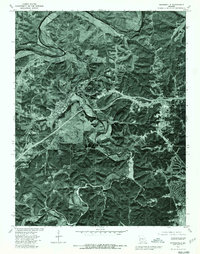 1976 Waynesville1980 Print · USGSWaynesville and St Robert appear in detailed aerial photography during the mid-seventies as the region continued to develop around the military installation. Researchers can trace land use patterns near Fort Leonard Wood and follow the natural curves of the Gasconade River.
 - 1976 Map of Devils Elbow, 1980 Print
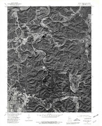 1976 Devils Elbow1980 Print · USGSPulaski County’s river valleys and the edges of a major military installation are seen here during the mid-seventies. Trace the sharp bends of the Gasconade River and find old settlements like Hooker and the distinctive meander at Devils Elbow.
 - 1982 Map of Lebanon, 1983 Print
 1982 Lebanon1983 Print · USGSThe Missouri Ozarks are captured in the early eighties as Interstate 44 and the St Louis-San Francisco rail line link growing towns with the Fort Leonard Wood Military Reservation. Genealogists and historians can trace family-named sites like Flatwood Church and old post offices at Sleeper and Nebo.
 - 2004 Map of Waynesville, 2006 Print
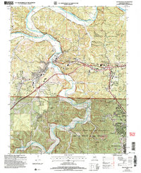 2004 Waynesville2006 Print · USGSMid-century Pulaski County comes alive here as the historic corridor of Route 66 crosses the rugged hollows south of the Gasconade River. Trace family roots at Gospel Ridge Union Cem or find landmarks like Pikes Peak Cave and the Drive-in Theater.
 - 2004 Map of Devils Elbow, 2006 Print
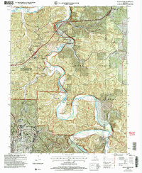 2004 Devils Elbow2006 Print · USGSThe Ozark river country of Pulaski County is captured here at the start of the millennium, showing the interplay between forest land and military expansion. You can locate old family cemeteries like Spaulding Cem and trace the former siding stops at Wern Siding and Lee Siding.
 - 2012 Map of Devils Elbow, 2012 Print
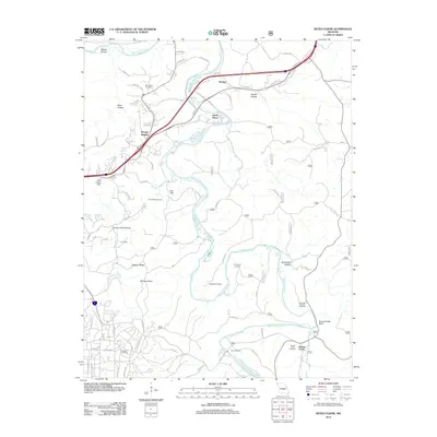 2012 Devils Elbow2012 Print · USGSPulaski County at the start of the 2010s shows a landscape where modern transit meets deep-rooted history along the Big Piney River. Genealogists can trace local heritage through sites like Spaulding Cemetery, Lee Siding, and the Trl Of Tears.
 - 2012 Map of Waynesville, 2012 Print
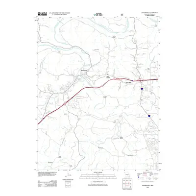 2012 Waynesville2012 Print · USGSWaynesville and Saint Robert are shown at a point of significant modern development in the early twenty-first century. Genealogists can locate several family-named burial sites including Rayle Cemetery, Turpin Cemetery, and Laughlin Cemetery along the banks of Roubidoux Creek.
 - 2015 Map of Devils Elbow, 2015 Print
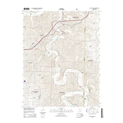 2015 Devils Elbow2015 Print · USGSThe northern Ozarks and the meanders of the Big Piney River define this Pulaski County area in the early twenty-first century. Genealogists can locate several rural burying grounds including Mayfield, Hale, and Rockwell near Fort Leonard Wood.
 - 2015 Map of Waynesville, 2015 Print
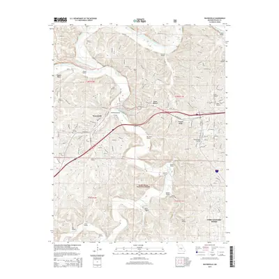 2015 Waynesville2015 Print · USGSPulaski County at the height of the mid-2010s shows a landscape where the legacy of the Mother Road meets modern expansion. Genealogists can locate family landmarks like Turpin Cemetery and Bradford Cemetery near the path of Historic 66 W.
 - 2017 Map of Waynesville, 2017 Print
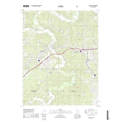 2017 Waynesville2017 Print · USGSPulaski County comes into sharp focus during the late 2010s as the military footprint and local communities expand together. Genealogists and researchers can trace family plots and local landmarks from Roubidoux Spring to Gospel Ridge Union Cem and Stories Cem.
 - 2017 Map of Devils Elbow, 2017 Print
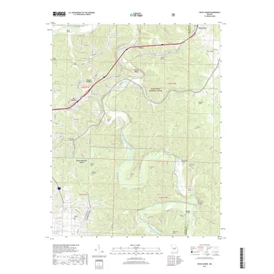 2017 Devils Elbow2017 Print · USGSThe Pulaski County highlands and the Big Piney River valley are shown here in the 2010s as they surround the Fort Leonard Wood military reservation. Genealogists and local historians can locate numerous small burial sites like Rockwell Cem and Mayfield Cem or trace the historic path of the Trl of Tears.
 - 2021 Map of Waynesville, 2021 Print
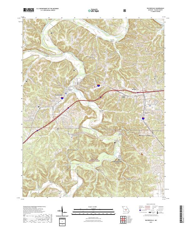 2021 Waynesville2021 Print · USGSWaynesville and St. Robert are shown in the early twenty-first century as they border the northern edge of the sprawling Fort Leonard Wood. Genealogists and local historians can trace family roots at Laughlin Cem, Stories Cem, and the Missouri State Veterans Cem.
 - 2021 Map of Devils Elbow, 2021 Print
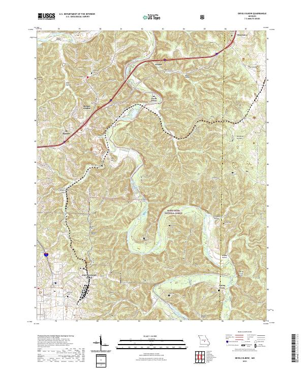 2021 Devils Elbow2021 Print · USGSPulaski County at the start of the 2020s shows the winding Big Piney River alongside the growth of St. Robert. Researchers can trace rural lineages through numerous burial sites like Mayfield Cem and Spaulding Cem.
End of results
Showing maps 1-22 of 22
Top cities near Saint Robert
Top neighborhoods of Saint Robert
Frequently asked questions
- What are the different types of historical maps available for Saint Robert?
- What is the oldest map of Saint Robert?
- Where can I purchase historical maps of Saint Robert for my home or office?
- Where can I download high-res historical maps of Saint Robert?
- Are there historical topographic maps available for Saint Robert?
- Is there historical aerial imagery available for Saint Robert?
- Where are historical maps of Saint Robert sourced from?