2000s (21st Century) Maps of Waynesville, Missouri
Explore 10 historic maps of Waynesville from the 2000s (21st Century). These maps offer a rare glimpse into what life looked like during the 2000s — showing old roads, neighborhoods, homes, and landmarks that have changed or disappeared over time.
Whether you're researching your family's past, planning a metal detecting trip, or studying how Waynesville's landscape evolved across the 2000s, these high-resolution maps are a powerful tool for exploring the history of this region.
- Focus on a specific era: All maps on this page are from the 2000s, giving you a focused view of this time period.
- See what’s changed: Compare century-old streets, trails, and buildings to today's modern landscape using overlays and satellite layers.
- Research with precision: Use these maps for genealogy, historical research, land use analysis, or educational projects.
- View, download, or print: Maps are fully viewable online in high resolution, and can be downloaded or printed for your own records.
Start exploring Waynesville's history through authentic maps from the 2000s. This is your window into the past.
Waynesville, MO maps
(10)- 2004 Map of Ozark Springs, 2006 Print
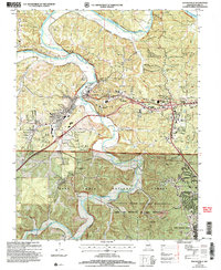
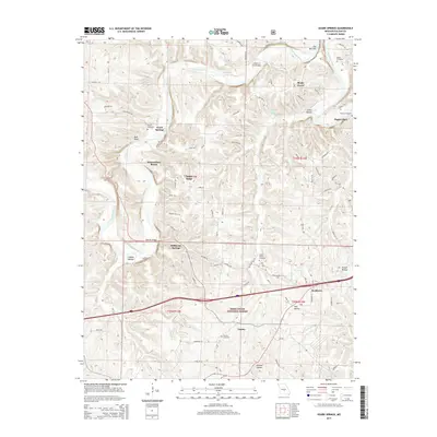
 2004 Ozark Springs2006 Print · USGSPulaski County at the start of the new millennium remains defined by the winding Gasconade River and the forested slopes of the Missouri Ozarks. Researchers can locate family sites at Mayse Cem and Bartlett Cem or trace the original path of Historic Route 66 through Buckhorn.
 - 2004 Map of Waynesville, 2006 Print
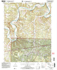
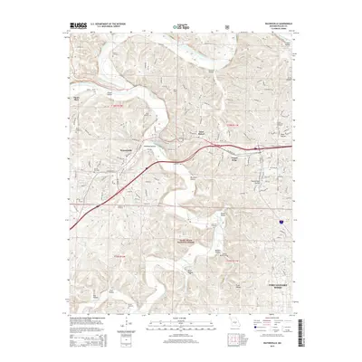
 2004 Waynesville2006 Print · USGSMid-century Pulaski County comes alive here as the historic corridor of Route 66 crosses the rugged hollows south of the Gasconade River. Trace family roots at Gospel Ridge Union Cem or find landmarks like Pikes Peak Cave and the Drive-in Theater.
 - 2012 Map of Ozark Springs, 2012 Print
 2012 Ozark Springs2012 Print · USGSCovers Waynesville, including Stillhouse Springs, Pippin Place, and other nearby areas
 - 2012 Map of Waynesville, 2012 Print
 2012 Waynesville2012 Print · USGSCovers Waynesville, including Saint Robert, Gospel Ridge, and other nearby areas
 - 2015 Map of Ozark Springs, 2015 Print
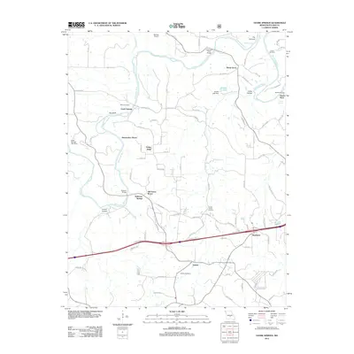
 2015 Ozark Springs2015 Print · USGSCovers Waynesville, including Stillhouse Springs, Pippin Place, and other nearby areas
 - 2015 Map of Waynesville, 2015 Print
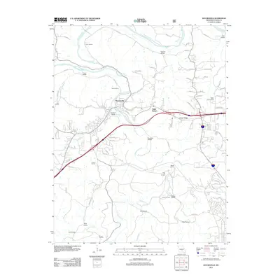
 2015 Waynesville2015 Print · USGSCovers Waynesville, including Saint Robert, Gospel Ridge, and other nearby areas
 - 2017 Map of Ozark Springs, 2017 Print
 2017 Ozark Springs2017 Print · USGSCovers Waynesville, including Stillhouse Springs, Pippin Place, and other nearby areas
 - 2017 Map of Waynesville, 2017 Print
 2017 Waynesville2017 Print · USGSCovers Waynesville, including Saint Robert, Gospel Ridge, and other nearby areas
 - 2021 Map of Waynesville, 2021 Print
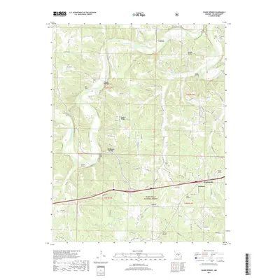
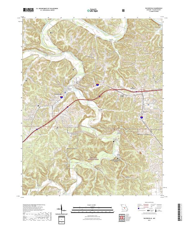 2021 Waynesville2021 Print · USGSWaynesville and St. Robert are shown in the early twenty-first century as they border the northern edge of the sprawling Fort Leonard Wood. Genealogists and local historians can trace family roots at Laughlin Cem, Stories Cem, and the Missouri State Veterans Cem.
 - 2021 Map of Ozark Springs, 2021 Print
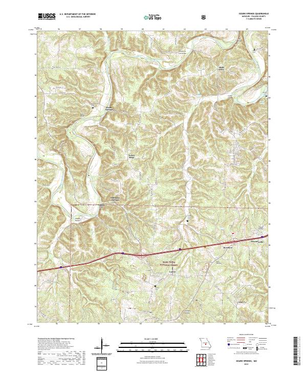 2021 Ozark Springs2021 Print · USGSPulaski County near the Gasconade River reveals a landscape of isolated springs and rural hollows during the early twenty-first century. Genealogists and local historians can trace family sites at Mayse Cem or explore crossings like Mokane Bridge and Lundstrum Ford Bridge.
End of results
Showing maps 1-10 of 10
Top cities near Waynesville
- Saint Robert historical maps
- Richland historical maps
- Dixon historical maps
- Crocker historical maps
- Powellville historical maps
Frequently asked questions
- What are the different types of historical maps available for Waynesville?
- What is the oldest map of Waynesville?
- Where can I purchase historical maps of Waynesville for my home or office?
- Where can I download high-res historical maps of Waynesville?
- Are there historical topographic maps available for Waynesville?
- Is there historical aerial imagery available for Waynesville?
- Where are historical maps of Waynesville sourced from?