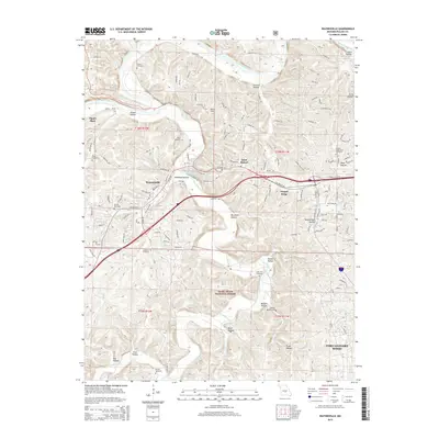
2015 Map of Waynesville
USGS Topo · Published 2015About this map
Waynesville and neighboring Saint Robert dominate this landscape within the Ozark Mountains, situated where Roubidoux Creek meets the meandering Gasconade River. The map documents a significant intersection of modern infrastructure and heritage, most notably the path of Old Route 66 and Historic 66 E as they navigate the area's complex topography. These roadways connect the population centers to the northern boundary of Fort Leonard Wood, highlighting the military installation's proximity to the local community.
Find a feature on this map
122 named features on this map. Tap any name to fly to it.
Don’t see what you’re looking for? This feature index may not catch every label — zoom into the map to look around manually.
Map Details
Editions of this 2015 Waynesville Map
This is the sole edition of this map. No revisions or reprints were ever made.
Other maps of this area
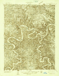
1936 · Waynesville
USGS Topo · 1:48,000
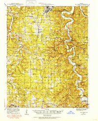
1941 · Big Piney
USGS Topo · 1:62,500
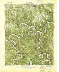
1942 · Waynesville
USGS Topo · 1:62,500
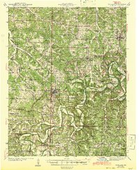
1943 · Richland
USGS Topo · 1:62,500
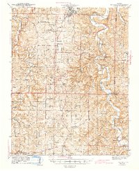
1943 · Big Piney
USGS Topo · 1:62,500
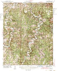
1943 · Drynob
USGS Topo · 1:62,500
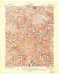
1944 · Waynesville
USGS Topo · 1:62,500
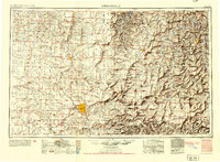
1954 · Springfield
USGS Topo · 1:250,000
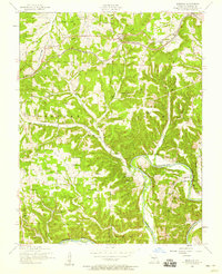
1954 · Hancock
USGS Topo · 1:24,000
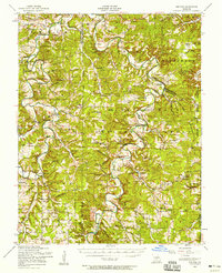
1954 · Drynob
USGS Topo · 1:62,500