Old Maps of Cappeln, Missouri for Genealogy
Trace your family roots with 13 historic maps of Cappeln. These high-res maps reveal old neighborhoods, homesites, landmarks, and streets — helping you uncover where your ancestors lived and how the area evolved over time.
- Explore historic neighborhoods: Identify where your relatives may have lived in the 1800s or 1900s.
- Compare maps over time: Trace the changes in streets, buildings, and landmarks for multi-generational research.
- Perfect for genealogy & ancestry research: Used by family historians and researchers to map out lineage and migration.
These maps are an incredible resource for exploring your personal connection to Cappeln's past.
Cappeln, MO maps
(13)- 1903 Map of O'Fallon
 1903 O'Fallon1903 Print · USGSSt. Charles County at the turn of the century is a labyrinth of river islands and rail lines at the confluence of the Missouri and Mississippi. Researchers can trace old river landings like Cap Au Gris Landing and family-named settlements from Moscow Mills to New Melle.5 unique versions available
 - 1948 Map of Augusta, 1963 Print
 1948 Augusta1963 Print · USGSEastern Missouri river country at mid-century shows a landscape of small farming hamlets and essential riverside industries. Genealogists and historians can locate rural landmarks like Emmaus Sanitarium, the Tavern Rock Quarry, and numerous local schools such as Wide Awake Sch.2 unique versions available
 - 1949 Map of Saint Louis
 1949 Saint Louis1949 Print · USGSGreater St. Louis and its surrounding river valleys are captured here just after the war, showing the metropolitan core and the rural Ozark fringe. Researchers can trace the sprawling rail network of the Wabash RR or locate landmarks like Meramec Caverns Airport and Scott Air Force Base.2 unique versions available
 - 1949 Map of Augusta
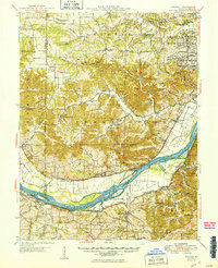 1949 Augusta1949 Print · USGSMid-century St. Charles and Franklin Counties are seen here along the Missouri River as the post-war rural landscape began to shift. Genealogists and local historians can trace family locations through numerous rural schoolhouses like Wide Awake Sch, or locate industrial sites like the Weldon Spring Ordnance Works.2 unique versions available
 - 1962 Map of St. Louis
 1962 St. Louis1962 Print · USGSThe mid-century gateway to the west shows the metropolitan expansion of St Louis alongside its critical river confluences. Genealogists and historians can trace the rail corridors of the Missouri Pacific RR and settlements from Fulton to De Soto.
 - 1963 Map of St. Louis, 1970 Print
 1963 St. Louis1970 Print · USGSSt. Louis and its surrounding river valleys are captured here during the peak of mid-century suburban expansion and industrial activity. Trace the historic rail routes of the Norfolk and Western Ry or locate the St Louis Ordnance Plant and early stretches of US Highway 66.4 unique versions available
 - 1966 Map of St. Louis
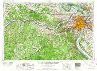 1966 St. Louis1966 Print · USGSThe St. Louis metropolitan area and its surrounding river valleys are captured here during the mid-sixties era of suburban growth and industrial strength. Genealogists and historians can trace the foundations of local communities through sites like Old Pioneer Cem, Parks College, and the Jefferson Barracks Military Reservation.
 - 1972 Map of New Melle, 1973 Print
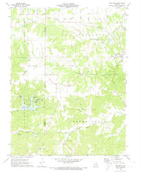 1972 New Melle1973 Print · USGSThe rolling creek valleys of St. Charles and Warren counties are shown here just as new recreational lakes began to dot the landscape. Researchers can trace historic local sites like Emmaus Sanitarium, Friedens Cem, and the old crossroads at Cappeln.2 unique versions available
 - 1985 Map of St Louis
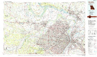 1985 St Louis1985 Print · USGSThe St. Louis metropolitan area and its river confluences are captured here during a period of significant suburban expansion in the 1980s. Genealogists and historians can trace the development of older neighborhoods and landmarks like Jefferson Barracks, Cahokia Mounds State Park, and Washington University.3 unique versions available
 - 2012 Map of New Melle, 2012 Print
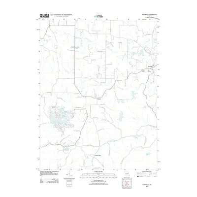 2012 New Melle2012 Print · USGSSaint Charles County's rolling landscape and private lake communities come into focus in this early twenty-first-century survey. Researchers can trace local lineage at Friedens Cemetery or explore the development of Lake Sherwood and the rural crossroads of Cappeln.
 - 2015 Map of New Melle, 2015 Print
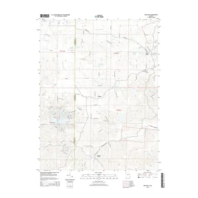 2015 New Melle2015 Print · USGSSaint Charles County in the early twenty-first century is a patchwork of historic creek-side settlements and modern residential lakes. Genealogists and local historians can trace family sites near New Melle or locate the Friedens Cemetery and Saint Pauls Cemetery.
 - 2017 Map of New Melle, 2017 Print
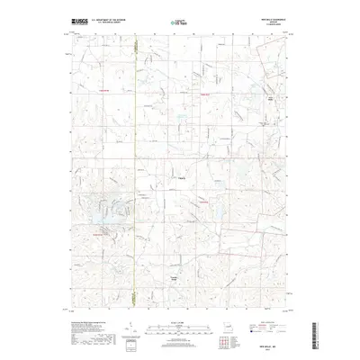 2017 New Melle2017 Print · USGSSaint Charles County as it appeared in the late 2010s shows a blend of historic crossroads and modern lakeside communities. Genealogists and local historians can trace the roads connecting New Melle, Cappeln, and the Friedens Saint Pauls Cem.
 - 2021 Map of New Melle, 2021 Print
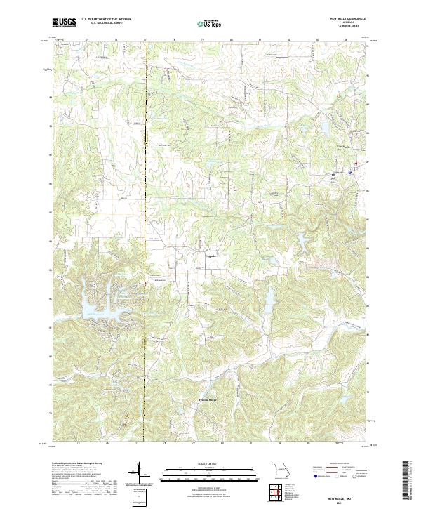 2021 New Melle2021 Print · USGSThe rural border of St. Charles and Warren counties is captured here in the early twenty-first century, showing a landscape of small settlements and reservoir systems. Researchers can trace local history at Friedens Cem or follow the waters of Femme Osage Creek through Cappeln and Femme Osage.
End of results
Showing maps 1-13 of 13
Top cities near Cappeln
- O'Fallon historical maps
- Wentzville historical maps
- Wildwood historical maps
- Washington historical maps
- Union historical maps
- Warrenton historical maps
See more
Frequently asked questions
- What are the different types of historical maps available for Cappeln?
- What is the oldest map of Cappeln?
- Where can I purchase historical maps of Cappeln for my home or office?
- Where can I download high-res historical maps of Cappeln?
- Are there historical topographic maps available for Cappeln?
- Is there historical aerial imagery available for Cappeln?
- Where are historical maps of Cappeln sourced from?