Old Maps of Saint Paul, Missouri for Hiking & Exploration
Hike through history with 32 historic maps of Saint Paul. Explore old trails, ghost towns, and forgotten backroads — perfect for outdoor adventurers and local explorers.
- Rediscover forgotten places: Map out old mining camps, roads, and footpaths that no longer exist on modern maps.
- Layer with modern tools: Combine with LiDAR or satellite views to plan hikes through historical terrain.
- Made for exploration: Popular among hikers, overlanders, and local history lovers.
Use these maps to find adventure and explore the hidden past of Saint Paul.
Saint Paul, MO maps
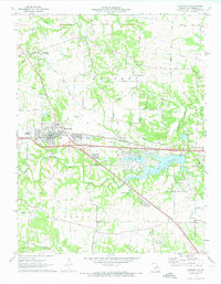
(32)- 1903 Map of O'Fallon
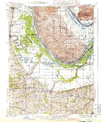
 1903 O'Fallon1903 Print · USGSSt. Charles County at the turn of the century is a labyrinth of river islands and rail lines at the confluence of the Missouri and Mississippi. Researchers can trace old river landings like Cap Au Gris Landing and family-named settlements from Moscow Mills to New Melle.5 unique versions available
 - 1931 Map of Brussels
 1931 Brussels1931 Print · USGSThe peninsula between the Illinois and Mississippi Rivers is captured here in the early 1930s, showcasing a network of river landings and ridge-top settlements. Genealogists can trace family roots through numerous local landmarks like Golden Eagle, Point Pleasant, and Nichols Sch.2 unique versions available
 - 1939 Map of Brussels, 1955 Print
 1939 Brussels1955 Print · USGSThe confluence of the Illinois and Mississippi rivers defines this pre-war era, where river landings and ferries still anchored local life. Genealogists can trace family footprints at Old Rock Ch, numerous rural schools like Black Jack Sch, and the West Point Ferry.
 - 1941 Map of Troy, 1964 Print
 1941 Troy1964 Print · USGSLincoln and St. Charles Counties are captured here in the early 1940s as the rail-and-river economy shaped local life. Researchers can trace dozens of rural schoolhouses and family landmarks like Pond Fort Sch, Shiloh Ch, and the Wabash RR junction at Wentzville.2 unique versions available
 - 1943 Map of Brussels
 1943 Brussels1943 Print · USGSThe river bottomlands near the Missouri and Illinois border come alive in the 1940s, showing a network of ferries, landings, and rail lines. Trace family history through local landmarks like Lone Tree Indian Mound, Boones Lick Road, and St Peters.2 unique versions available
 - 1945 Map of Troy
 1945 Troy1945 Print · USGSLincoln and St. Charles counties are shown in the 1940s, revealing a landscape of small farming hamlets and a high density of rural schoolhouses. Researchers can trace the paths of the Wabash RR and locate ancestral landmarks like Owen Station Sch or Oak Grove Cem.2 unique versions available
 - 1949 Map of Saint Louis
 1949 Saint Louis1949 Print · USGSGreater St. Louis and its surrounding river valleys are captured here just after the war, showing the metropolitan core and the rural Ozark fringe. Researchers can trace the sprawling rail network of the Wabash RR or locate landmarks like Meramec Caverns Airport and Scott Air Force Base.2 unique versions available
 - 1954 Map of Winfield, 1959 Print
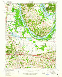
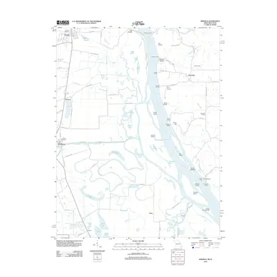
 1954 Winfield1959 Print · USGSThe confluence of the Mississippi and Cuivre Rivers is captured in the mid-1950s, showing a landscape defined by levees and rail. Trace family roots at Hayden Sch or Winfield, and locate old river landings like Beech Landing.3 unique versions available
 - 1954 Map of O'Fallon, 1959 Print
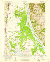
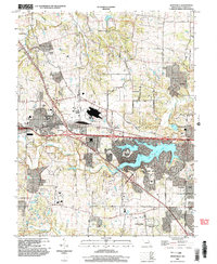
 1954 O'Fallon1959 Print · USGSSt. Charles County undergoes post-war transformation in the mid-fifties as railroads and river floodplains dictate the local geography. Researchers can trace the development of O'Fallon and St Peters, or locate landmarks like Fort Zumwalt and the St Marys Institute.4 unique versions available
 - 1954 Map of Brussels, 1960 Print
 1954 Brussels1960 Print · USGSThe confluence of the Mississippi and Illinois Rivers comes alive in the mid-1950s, showing a landscape shaped by river transport and rail. Trace the routes of the Wabash Railroad or find family history at All Saints Village and Dardenne Cem.2 unique versions available
 - 1962 Map of St. Louis
 1962 St. Louis1962 Print · USGSThe mid-century gateway to the west shows the metropolitan expansion of St Louis alongside its critical river confluences. Genealogists and historians can trace the rail corridors of the Missouri Pacific RR and settlements from Fulton to De Soto.
 - 1963 Map of St. Louis, 1970 Print
 1963 St. Louis1970 Print · USGSSt. Louis and its surrounding river valleys are captured here during the peak of mid-century suburban expansion and industrial activity. Trace the historic rail routes of the Norfolk and Western Ry or locate the St Louis Ordnance Plant and early stretches of US Highway 66.4 unique versions available
 - 1966 Map of St. Louis
 1966 St. Louis1966 Print · USGSThe St. Louis metropolitan area and its surrounding river valleys are captured here during the mid-sixties era of suburban growth and industrial strength. Genealogists and historians can trace the foundations of local communities through sites like Old Pioneer Cem, Parks College, and the Jefferson Barracks Military Reservation.
 - 1972 Map of Wentzville, 1973 Print
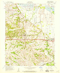
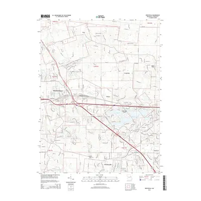
 1972 Wentzville1973 Print · USGSWentzville and its surrounding St. Charles County townships are captured here during a period of suburban growth in the early seventies. Genealogists and local historians can trace family-named routes and old communities like Flint Hill, Gilmore, and the historic Weldon Spring Ch.2 unique versions available
 - 1979 Map of Wentzville, 1980 Print
 1979 Wentzville1980 Print · USGSSt. Charles County undergoes a visible transformation in the late seventies as residential growth meets rural Missouri farmland. Trace the development of Lake St Louis and examine the early footprints of Wentzville, Josephville, and Gilmore.
 - 1985 Map of St Louis
 1985 St Louis1985 Print · USGSThe St. Louis metropolitan area and its river confluences are captured here during a period of significant suburban expansion in the 1980s. Genealogists and historians can trace the development of older neighborhoods and landmarks like Jefferson Barracks, Cahokia Mounds State Park, and Washington University.3 unique versions available
 - 1993 Map of Winfield, 1996 Print
 1993 Winfield1996 Print · USGSThe confluence of the Mississippi and Cuivre Rivers is captured in the early 1990s, showing a rich landscape of river landings and floodplain lakes. Trace the ferry at West Point Ferry or locate family sites at Ingle Cem and Minesinger Cem.
 - 1994 Map of O'Fallon, 1995 Print
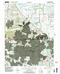
 1994 O'Fallon1995 Print · USGSThe rapid expansion of O'Fallon and St. Peters is on full display in the mid-1990s as suburban growth meets established rural landmarks. Researchers can trace local history through sites like Assumption Cemetery, St Marys College, and the Waldmeister Landing Strip.
 - 2000 Map of Wentzville, 2003 Print
 2000 Wentzville2003 Print · USGSWentzville and St. Charles County were undergoing a period of intense suburban development at the turn of the century. Genealogists and local historians can trace the evolution of old settlements like Flint Hill and Josephville alongside the growth of Lake Saint Louis.
 - 2002 Map of O'Fallon, 2003 Print
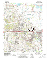
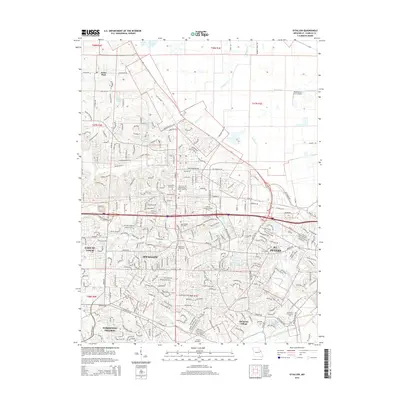
 2002 O'Fallon2003 Print · USGSSt. Charles County was undergoing rapid suburban transformation at the turn of the millennium. Researchers can trace the expansion of O'Fallon and St. Peters while locating historic sites like St. Paul Church and Waldmeister Landing Strip.
 - 2012 Map of Wentzville, 2012 Print
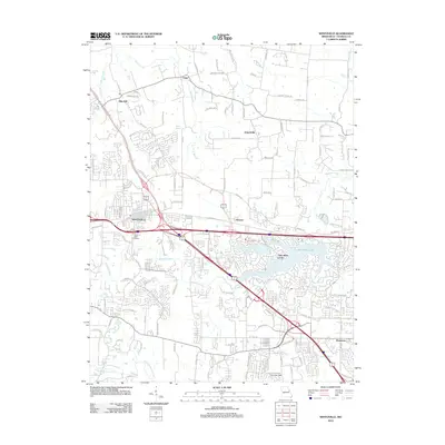 2012 Wentzville2012 Print · USGSCovers Saint Paul, including O'Fallon, Wentzville, and other nearby areas
 - 2012 Map of O'Fallon, 2012 Print
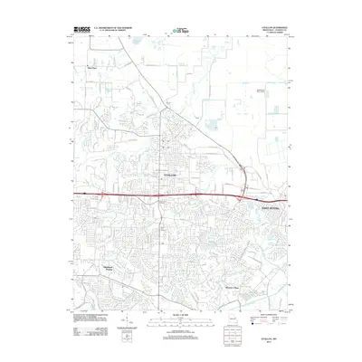 2012 O'Fallon2012 Print · USGSCovers Saint Paul, including O'Fallon, Saint Peters, and other nearby areas
 - 2012 Map of Winfield, 2012 Print
 2012 Winfield2012 Print · USGSCovers Saint Paul, including Winfield, Old Monroe, and other nearby areas
 - 2015 Map of Wentzville, 2015 Print
 2015 Wentzville2015 Print · USGSCovers Saint Paul, including O'Fallon, Wentzville, and other nearby areas
 - 2015 Map of O'Fallon, 2015 Print
 2015 O'Fallon2015 Print · USGSCovers Saint Paul, including O'Fallon, Saint Peters, and other nearby areas
Showing maps 1-25 of 32
Top cities near Saint Paul
- O'Fallon historical maps
- Saint Charles historical maps
- Saint Peters historical maps
- Chesterfield historical maps
- Wentzville historical maps
- Wildwood historical maps
See more
Frequently asked questions
- What are the different types of historical maps available for Saint Paul?
- What is the oldest map of Saint Paul?
- Where can I purchase historical maps of Saint Paul for my home or office?
- Where can I download high-res historical maps of Saint Paul?
- Are there historical topographic maps available for Saint Paul?
- Is there historical aerial imagery available for Saint Paul?
- Where are historical maps of Saint Paul sourced from?