Old Maps of Saline County, Missouri
Explore 47 old maps of Saline County, spanning from 1887 to today. These high-resolution historic maps reveal how streets, neighborhoods, landmarks, and natural features evolved over time — perfect for genealogy, metal detecting, research, and local history exploration.
What you can do with these maps:
- See how Saline County changed over time: Compare historical maps to modern-day views to trace roads, homesites, rail lines & more.
- View detailed metadata: Each map includes creators, publishers, year, scale, and archive source.
- Overlay maps with satellite & LiDAR: Visualize the past alongside modern tools to explore terrain & human change.
- Trusted historical sources: Maps sourced from the USGS, Library of Congress, and other archives.
- Access maps your way: View online, download high-res files, or order prints for personal or research use.
Start exploring old maps of Saline County to uncover forgotten places, hidden landmarks, and the deep history beneath your feet.
Saline County, MO maps
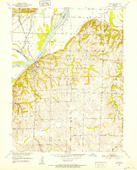
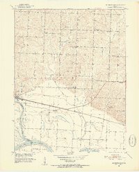
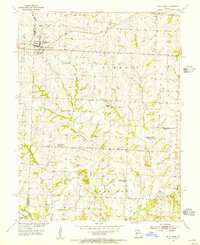
(47)- 1887 Map of Sedalia
 1887 Sedalia1887 Print · USGSCovers Saline County, including Sedalia, Sweet Springs, and other nearby areas
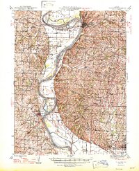
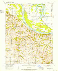
 - 1890 Map of Glasgow
 1890 Glasgow1890 Print · USGSCovers Saline County, including Fayette, Huntsville, and other nearby areas5 unique versions available
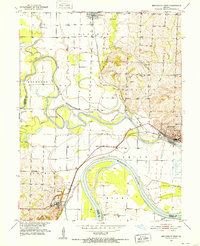
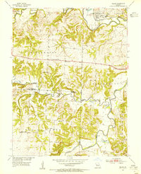
 - 1890 Map of Marshall
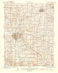
 1890 Marshall1890 Print · USGSCovers Saline County, including Marshall, Carrollton, and other nearby areas
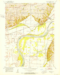
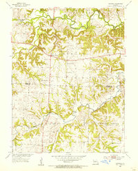
 - 1892 Map of Marshall, 1896 Print
 1892 Marshall1896 Print · USGSCovers Saline County, including Marshall, Carrollton, and other nearby areas
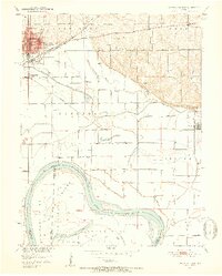
 - 1894 Map of Sedalia
 1894 Sedalia1894 Print · USGSCovers Saline County, including Sedalia, Sweet Springs, and other nearby areas5 unique versions available
 - 1901 Map of Marshall
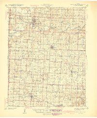
 1901 Marshall1901 Print · USGSCovers Saline County, including Marshall, Carrollton, and other nearby areas5 unique versions available
 - 1939 Map of Sweet Springs
 1939 Sweet Springs1939 Print · USGSCovers Saline County, including Sweet Springs, La Monte, and other nearby areas
 - 1940 Map of Sweet Springs
 1940 Sweet Springs1940 Print · USGSCovers Saline County, including Sweet Springs, La Monte, and other nearby areas
 - 1940 Map of Marshall, 1962 Print
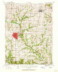 1940 Marshall1962 Print · USGSCovers Saline County, including Marshall, Slater, and other nearby areas
 - 1941 Map of Sweet Springs
 1941 Sweet Springs1941 Print · USGSCovers Saline County, including Sweet Springs, La Monte, and other nearby areas2 unique versions available
 - 1944 Map of Marshall
 1944 Marshall1944 Print · USGSCovers Saline County, including Marshall, Slater, and other nearby areas2 unique versions available
 - 1945 Map of Sweet Springs
 1945 Sweet Springs1945 Print · USGSCovers Saline County, including Sweet Springs, La Monte, and other nearby areas2 unique versions available
 - 1947 Map of Glasgow
 1947 Glasgow1947 Print · USGSCovers Saline County, including New Franklin, Glasgow, and other nearby areas2 unique versions available
 - 1947 Map of Jefferson City, 1949 Print
 1947 Jefferson City1949 Print · USGSCovers Saline County, including Columbia, Jefferson City, and other nearby areas2 unique versions available
 - 1951 Map of Miami, 1952 Print
 1951 Miami1952 Print · USGSCovers Saline County, including Miami, Sharon, and other nearby areas2 unique versions available
 - 1951 Map of Brunswick West, 1952 Print
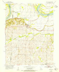
 1951 Brunswick West1952 Print · USGSCovers Saline County, including Brunswick, De Witt, and other nearby areas4 unique versions available
 - 1951 Map of Miami Station, 1952 Print
 1951 Miami Station1952 Print · USGSCovers Saline County, including Leta, White Rock, and other nearby areas2 unique versions available
 - 1951 Map of Carrollton East, 1952 Print
 1951 Carrollton East1952 Print · USGSCovers Saline County, including Carrollton, Wakenda, and other nearby areas4 unique versions available
 - 1951 Map of Brunswick East, 1952 Print
 1951 Brunswick East1952 Print · USGSCovers Saline County, including Brunswick, Grand Port, and other nearby areas3 unique versions available
 - 1951 Map of New Frankfort, 1952 Print
 1951 New Frankfort1952 Print · USGSCovers Saline County, including New Frankfort, Chariton County, and other nearby areas2 unique versions available
 - 1953 Map of Moberly
 1953 Moberly1953 Print · USGSCovers Saline County, including Columbia, Moberly, and other nearby areas
 - 1953 Map of Nelson, 1955 Print
 1953 Nelson1955 Print · USGSCovers Saline County, including Nelson, Shackleford Crossing, and other nearby areas2 unique versions available
 - 1953 Map of Longwood, 1955 Print
 1953 Longwood1955 Print · USGSCovers Saline County, including Marshall Junction, Longwood, and other nearby areas2 unique versions available
 - 1953 Map of Blackburn, 1955 Print
 1953 Blackburn1955 Print · USGSCovers Saline County, including Mount Leonard, Blackburn, and other nearby areas2 unique versions available
 - 1953 Map of Grand Pass, 1955 Print
 1953 Grand Pass1955 Print · USGSCovers Saline County, including Mount Leonard, Grand Pass, and other nearby areas2 unique versions available
Showing maps 1-25 of 47
Top cities of Saline County
- Marshall historical maps
- Slater historical maps
- Sweet Springs historical maps
- Malta Bend historical maps
- Gilliam historical maps
- Nelson historical maps
See more
Frequently asked questions
- What are the different types of historical maps available for Saline County?
- What is the oldest map of Saline County?
- Where can I purchase historical maps of Saline County for my home or office?
- Where can I download high-res historical maps of Saline County?
- Are there historical topographic maps available for Saline County?
- Is there historical aerial imagery available for Saline County?
- Where are historical maps of Saline County sourced from?