2000s (21st Century) Maps of Downing, Missouri
Explore 8 historic maps of Downing from the 2000s (21st Century). These maps offer a rare glimpse into what life looked like during the 2000s — showing old roads, neighborhoods, homes, and landmarks that have changed or disappeared over time.
Whether you're researching your family's past, planning a metal detecting trip, or studying how Downing's landscape evolved across the 2000s, these high-resolution maps are a powerful tool for exploring the history of this region.
- Focus on a specific era: All maps on this page are from the 2000s, giving you a focused view of this time period.
- See what’s changed: Compare century-old streets, trails, and buildings to today's modern landscape using overlays and satellite layers.
- Research with precision: Use these maps for genealogy, historical research, land use analysis, or educational projects.
- View, download, or print: Maps are fully viewable online in high resolution, and can be downloaded or printed for your own records.
Start exploring Downing's history through authentic maps from the 2000s. This is your window into the past.
Downing, MO maps
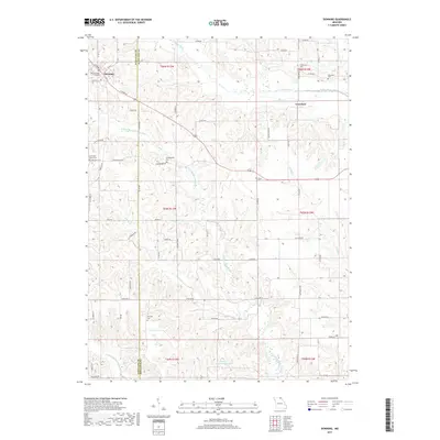
(8)- 2012 Map of Downing, 2012 Print
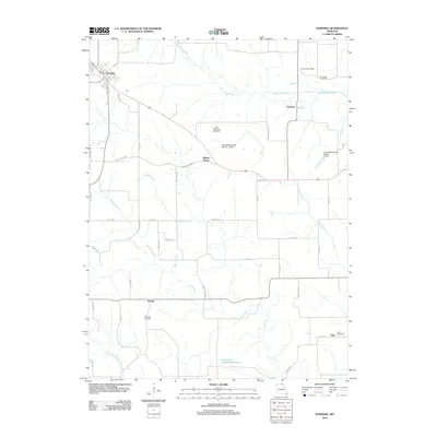 2012 Downing2012 Print · USGSCovers Downing, including Unity, Crawford, and other nearby areas
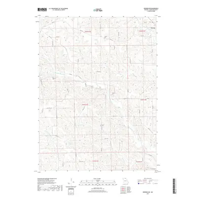
 - 2012 Map of Downing NW, 2012 Print
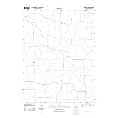 2012 Downing NW2012 Print · USGSCovers Downing, including Clifton, Germania, and other nearby areas
 - 2015 Map of Downing NW, 2015 Print
 2015 Downing NW2015 Print · USGSCovers Downing, including Clifton, Germania, and other nearby areas
 - 2015 Map of Downing, 2015 Print
 2015 Downing2015 Print · USGSCovers Downing, including Unity, Crawford, and other nearby areas
 - 2017 Map of Downing, 2017 Print
 2017 Downing2017 Print · USGSCovers Downing, including Unity, Crawford, and other nearby areas
 - 2017 Map of Downing NW, 2017 Print
 2017 Downing NW2017 Print · USGSCovers Downing, including Clifton, Germania, and other nearby areas
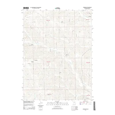
 - 2021 Map of Downing NW, 2021 Print
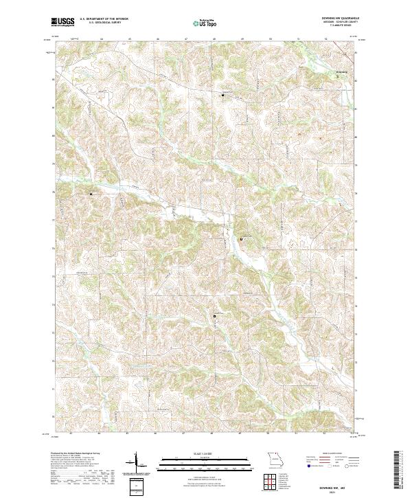 2021 Downing NW2021 Print · USGSSchuyler County's agricultural landscape is seen here in the 2020s, centered on the community of Downing and the winding river forks. Researchers can locate family heritage sites like Webster Cem and Brushy Cem or trace the drainage of the N Fork Middle Fabius River.
 - 2021 Map of Downing, 2021 Print
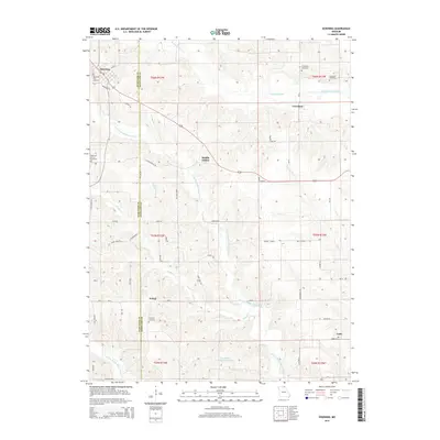
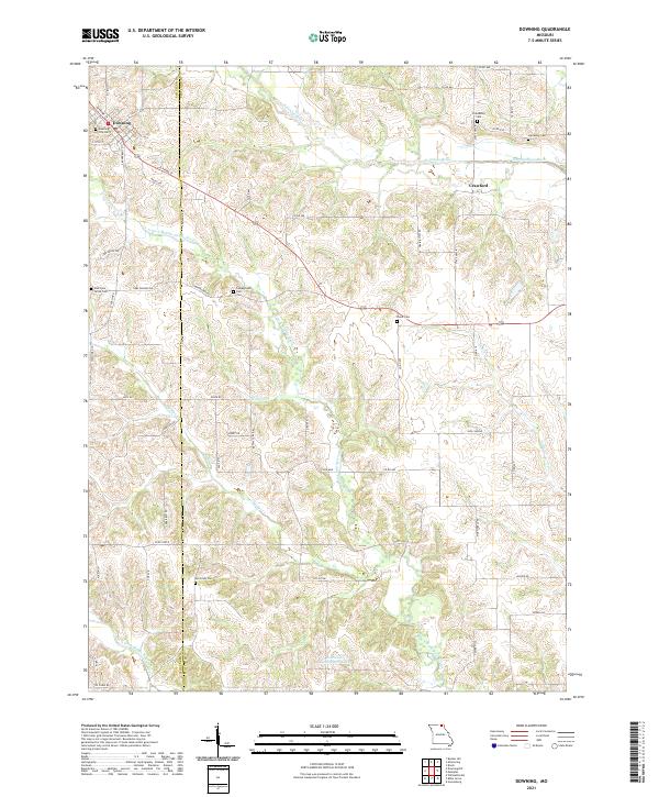 2021 Downing2021 Print · USGSSchuyler and Scotland counties appear here during the early 2020s, showing a well-established rural landscape shaped by the Fabius River forks. Genealogists can trace family heritage through a high density of sites like Friendship Cem, Mc Grady Cem, and Campground Cem.
End of results
Showing maps 1-8 of 8
Top cities near Downing
- Memphis historical maps
- Lancaster historical maps
- Queen City historical maps
- Milton historical maps
- Pulaski historical maps
- Glenwood historical maps
Frequently asked questions
- What are the different types of historical maps available for Downing?
- What is the oldest map of Downing?
- Where can I purchase historical maps of Downing for my home or office?
- Where can I download high-res historical maps of Downing?
- Are there historical topographic maps available for Downing?
- Is there historical aerial imagery available for Downing?
- Where are historical maps of Downing sourced from?