Old Maps of Downing, Missouri for Academic Research
Study the evolution of Downing with 15 high-resolution historic maps. Whether you're teaching, researching, or modeling changes in land use, these maps provide essential visual documentation of urban, environmental, and geographic change.
- Analyze long-term change: Track patterns in development, transportation, and natural features.
- Ideal for environmental or urban studies: Support academic projects with primary historical map data.
- Use in the classroom or lab: Educators and researchers rely on these maps to bring historical context to life.
These maps are a powerful tool for teaching, research, and visualizing how Downing has changed over the decades.
Downing, MO maps
(15)- 1903 Map of Edina
 1903 Edina1903 Print · USGSNortheast Missouri at the turn of the century shows a bustling landscape of rail-fed market towns and river valley townships. Researchers can trace the path of the Santa Fe Railroad through Baring or locate early settlements like Pleasant Retreat and Bible Grove.2 unique versions available
 - 1954 Map of Centerville, 1967 Print
 1954 Centerville1967 Print · USGSThe Iowa-Missouri borderlands at mid-century reveal a landscape shaped by river valleys and the height of the regional rail network. Genealogists and historians can trace the paths of the Wabash railroad and locate old townsites like Mystic, Moulton, and Greentop.3 unique versions available
 - 1957 Map of Centerville
 1957 Centerville1957 Print · USGSThe Iowa-Missouri borderlands in the mid-fifties reveal a landscape of river-valley agriculture and vital rail corridors. Genealogists and historians can trace family-named landmarks and small-town growth in Centerville, Kirksville, and along the Wabash railroad line.
 - 1958 Map of Centerville
 1958 Centerville1958 Print · USGSThe Iowa-Missouri borderlands come into focus during the mid-fifties, showing a landscape defined by river valleys and intersecting rail lines. Genealogists and local historians can trace family roots through dozens of rural hubs like Bloomfield, Unionville, and Corydon.
 - 1965 Map of Downing NW, 1967 Print
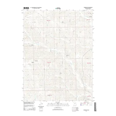
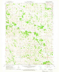 1965 Downing NW1967 Print · USGSSchuyler County's agricultural heartland is documented here in the mid-1960s, showing a landscape shaped by the Fabius River and local rail lines. Researchers can trace family ties at sites like Germania Ch, Crowder Cem, and along the Chicago Burlington and Quincy railroad.
 - 1966 Map of Downing, 1967 Print
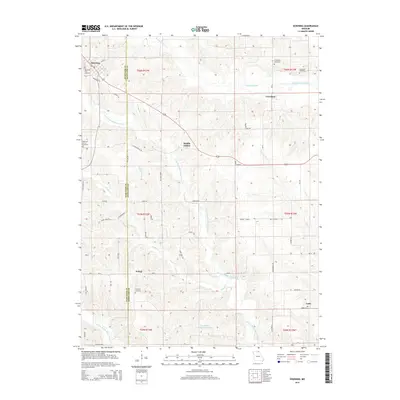
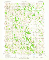 1966 Downing1967 Print · USGSSchuyler and Scotland counties appear here in the mid-1960s, showing a rural landscape defined by the North Fabius River and the local rail line. Researchers can locate family landmarks like Friendship Cem, Middle Fabius Sch, and the community of Downing.
 - 1981 Map of Kirksville, 1982 Print
 1981 Kirksville1982 Print · USGSNortheast Missouri in the early eighties was a landscape of rail-connected trade towns and significant river valleys. Researchers can trace the legacy of medical education at the Kirksville College of Osteopathic Med or locate family roots in Unionville, Edina, and Bible Grove.
 - 2012 Map of Downing, 2012 Print
 2012 Downing2012 Print · USGSCovers Downing, including Unity, Crawford, and other nearby areas
 - 2012 Map of Downing NW, 2012 Print
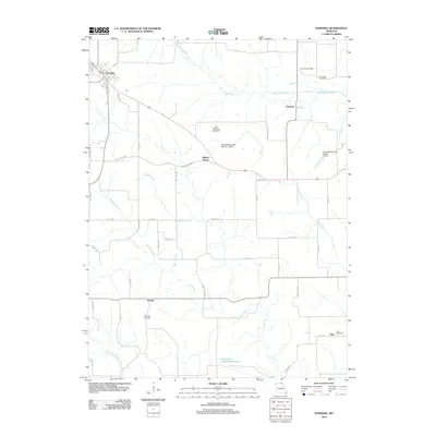
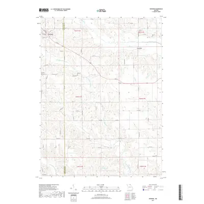
 2012 Downing NW2012 Print · USGSCovers Downing, including Clifton, Germania, and other nearby areas
 - 2015 Map of Downing NW, 2015 Print
 2015 Downing NW2015 Print · USGSCovers Downing, including Clifton, Germania, and other nearby areas
 - 2015 Map of Downing, 2015 Print
 2015 Downing2015 Print · USGSCovers Downing, including Unity, Crawford, and other nearby areas
 - 2017 Map of Downing, 2017 Print
 2017 Downing2017 Print · USGSCovers Downing, including Unity, Crawford, and other nearby areas
 - 2017 Map of Downing NW, 2017 Print
 2017 Downing NW2017 Print · USGSCovers Downing, including Clifton, Germania, and other nearby areas
 - 2021 Map of Downing NW, 2021 Print
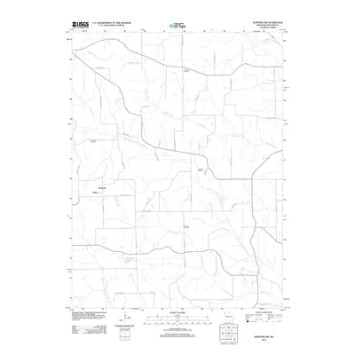
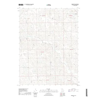
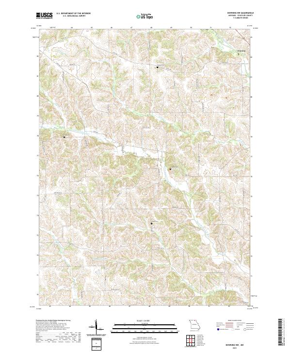 2021 Downing NW2021 Print · USGSSchuyler County's agricultural landscape is seen here in the 2020s, centered on the community of Downing and the winding river forks. Researchers can locate family heritage sites like Webster Cem and Brushy Cem or trace the drainage of the N Fork Middle Fabius River.
 - 2021 Map of Downing, 2021 Print
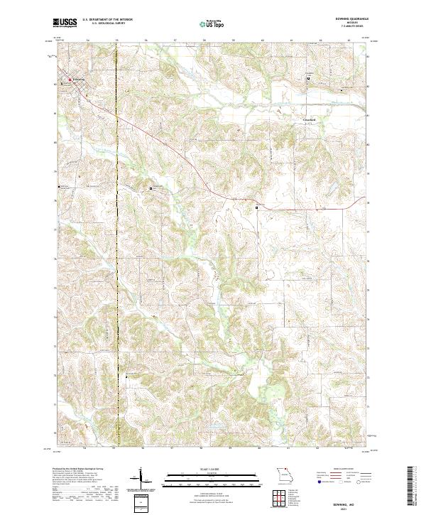 2021 Downing2021 Print · USGSSchuyler and Scotland counties appear here during the early 2020s, showing a well-established rural landscape shaped by the Fabius River forks. Genealogists can trace family heritage through a high density of sites like Friendship Cem, Mc Grady Cem, and Campground Cem.
End of results
Showing maps 1-15 of 15
Top cities near Downing
- Memphis historical maps
- Lancaster historical maps
- Queen City historical maps
- Milton historical maps
- Pulaski historical maps
- Glenwood historical maps
Frequently asked questions
- What are the different types of historical maps available for Downing?
- What is the oldest map of Downing?
- Where can I purchase historical maps of Downing for my home or office?
- Where can I download high-res historical maps of Downing?
- Are there historical topographic maps available for Downing?
- Is there historical aerial imagery available for Downing?
- Where are historical maps of Downing sourced from?