Old Maps of Scotland County, Missouri
Explore 26 old maps of Scotland County, spanning from 1903 to today. These high-resolution historic maps reveal how streets, neighborhoods, landmarks, and natural features evolved over time — perfect for genealogy, metal detecting, research, and local history exploration.
What you can do with these maps:
- See how Scotland County changed over time: Compare historical maps to modern-day views to trace roads, homesites, rail lines & more.
- View detailed metadata: Each map includes creators, publishers, year, scale, and archive source.
- Overlay maps with satellite & LiDAR: Visualize the past alongside modern tools to explore terrain & human change.
- Trusted historical sources: Maps sourced from the USGS, Library of Congress, and other archives.
- Access maps your way: View online, download high-res files, or order prints for personal or research use.
Start exploring old maps of Scotland County to uncover forgotten places, hidden landmarks, and the deep history beneath your feet.
Scotland County, MO maps
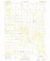
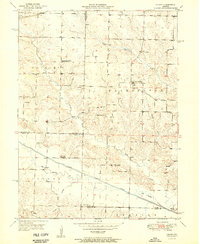
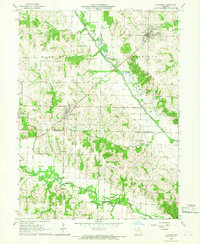
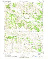
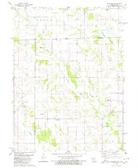
(26)- 1903 Map of Kahoka
 1903 Kahoka1903 Print · USGSCovers Scotland County, including Canton, Kahoka, and other nearby areas3 unique versions available
 - 1903 Map of Edina
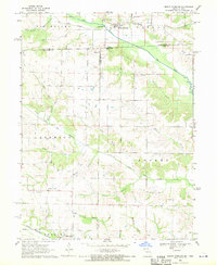
 1903 Edina1903 Print · USGSCovers Scotland County, including Memphis, La Plata, and other nearby areas2 unique versions available
 - 1950 Map of Colony, 1976 Print
 1950 Colony1976 Print · USGSCovers Scotland County, including Colony, Fairmont, and other nearby areas
 - 1951 Map of Colony
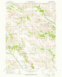
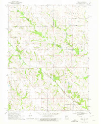
 1951 Colony1951 Print · USGSCovers Scotland County, including Colony, Fairmont, and other nearby areas2 unique versions available
 - 1951 Map of Wyaconda
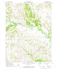
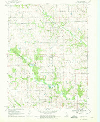
 1951 Wyaconda1951 Print · USGSCovers Scotland County, including Wyaconda, Luray, and other nearby areas2 unique versions available
 - 1954 Map of Centerville, 1967 Print
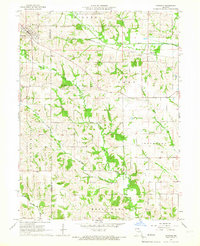
 1954 Centerville1967 Print · USGSCovers Scotland County, including Ottumwa, Kirksville, and other nearby areas3 unique versions available
 - 1957 Map of Centerville
 1957 Centerville1957 Print · USGSCovers Scotland County, including Ottumwa, Kirksville, and other nearby areas
 - 1958 Map of Centerville
 1958 Centerville1958 Print · USGSCovers Scotland County, including Ottumwa, Kirksville, and other nearby areas
 - 1958 Map of Burlington, 1968 Print
 1958 Burlington1968 Print · USGSCovers Scotland County, including Galesburg, Burlington, and other nearby areas4 unique versions available
 - 1961 Map of Burlington
 1961 Burlington1961 Print · USGSCovers Scotland County, including Galesburg, Burlington, and other nearby areas
 - 1963 Map of Burlington
 1963 Burlington1963 Print · USGSCovers Scotland County, including Galesburg, Burlington, and other nearby areas
 - 1965 Map of Memphis, 1966 Print
 1965 Memphis1966 Print · USGSCovers Scotland County, including Memphis, United States, and other nearby areas2 unique versions available
 - 1965 Map of Rutledge, 1966 Print
 1965 Rutledge1966 Print · USGSCovers Scotland County, including Rutledge, South Gorin, and other nearby areas
 - 1965 Map of Arbela, 1966 Print
 1965 Arbela1966 Print · USGSCovers Scotland County, including Arbela, United States, and other nearby areas
 - 1965 Map of Greensburg, 1966 Print
 1965 Greensburg1966 Print · USGSCovers Scotland County, including Fabius, Greensburg, and other nearby areas
 - 1966 Map of Downing, 1967 Print
 1966 Downing1967 Print · USGSCovers Scotland County, including Downing, Energy, and other nearby areas
 - 1966 Map of Bible Grove, 1967 Print
 1966 Bible Grove1967 Print · USGSCovers Scotland County, including Bible Grove, Adair County, and other nearby areas
 - 1968 Map of Mount Sterling, 1970 Print
 1968 Mount Sterling1970 Print · USGSCovers Scotland County, including Mount Sterling, Prospect Grove, and other nearby areas3 unique versions available
 - 1970 Map of Brock, 1972 Print
 1970 Brock1972 Print · USGSCovers Scotland County, including Brock, Davis County, and other nearby areas
 - 1970 Map of Azen, 1972 Print
 1970 Azen1972 Print · USGSCovers Scotland County, including Azen, Van Buren County, and other nearby areas
 - 1980 Map of Kilwinning
 1980 Kilwinning1980 Print · USGSCovers Scotland County, including Kilwinning, Hitt, and other nearby areas
 - 1981 Map of Centerville, 1982 Print
 1981 Centerville1982 Print · USGSCovers Scotland County, including Ottumwa, Fairfield, and other nearby areas
 - 1981 Map of Kirksville, 1982 Print
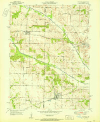
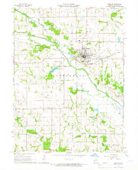
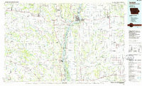
 1981 Kirksville1982 Print · USGSCovers Scotland County, including Kirksville, Memphis, and other nearby areas
 - 1985 Map of Burlington
 1985 Burlington1985 Print · USGSCovers Scotland County, including Burlington, Fort Madison, and other nearby areas2 unique versions available
 - 1986 Map of Keokuk
 1986 Keokuk1986 Print · USGSCovers Scotland County, including Keokuk, Hamilton, and other nearby areas2 unique versions available
Showing maps 1-25 of 26
Top cities of Scotland County
- Memphis historical maps
- Rutledge historical maps
- South Gorin historical maps
- Dancing Rabbit Ecovillage historical maps
- Granger historical maps
- Arbela historical maps
Frequently asked questions
- What are the different types of historical maps available for Scotland County?
- What is the oldest map of Scotland County?
- Where can I purchase historical maps of Scotland County for my home or office?
- Where can I download high-res historical maps of Scotland County?
- Are there historical topographic maps available for Scotland County?
- Is there historical aerial imagery available for Scotland County?
- Where are historical maps of Scotland County sourced from?