2000s (21st Century) Maps of Birch Tree, Missouri
Explore 16 historic maps of Birch Tree from the 2000s (21st Century). These maps offer a rare glimpse into what life looked like during the 2000s — showing old roads, neighborhoods, homes, and landmarks that have changed or disappeared over time.
Whether you're researching your family's past, planning a metal detecting trip, or studying how Birch Tree's landscape evolved across the 2000s, these high-resolution maps are a powerful tool for exploring the history of this region.
- Focus on a specific era: All maps on this page are from the 2000s, giving you a focused view of this time period.
- See what’s changed: Compare century-old streets, trails, and buildings to today's modern landscape using overlays and satellite layers.
- Research with precision: Use these maps for genealogy, historical research, land use analysis, or educational projects.
- View, download, or print: Maps are fully viewable online in high resolution, and can be downloaded or printed for your own records.
Start exploring Birch Tree's history through authentic maps from the 2000s. This is your window into the past.
Birch Tree, MO maps
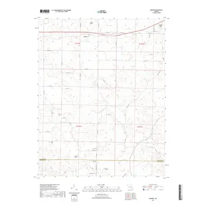
(16)- 2011 Map of Montier, 2011 Print
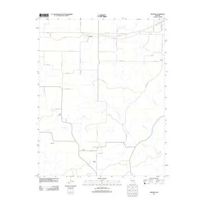 2011 Montier2011 Print · USGSCovers Birch Tree, including Montier, Not, and other nearby areas
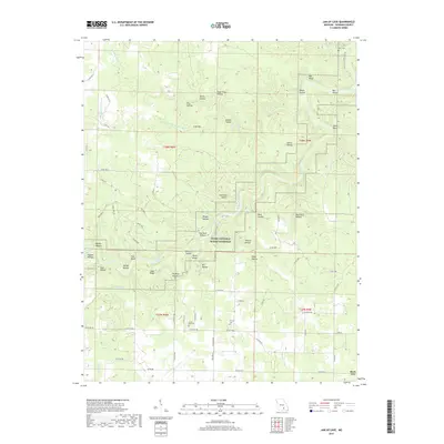
 - 2011 Map of Jam Up Cave, 2011 Print
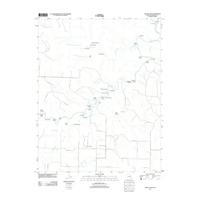 2011 Jam Up Cave2011 Print · USGSCovers Birch Tree, including Shannon County, United States, and other nearby areas
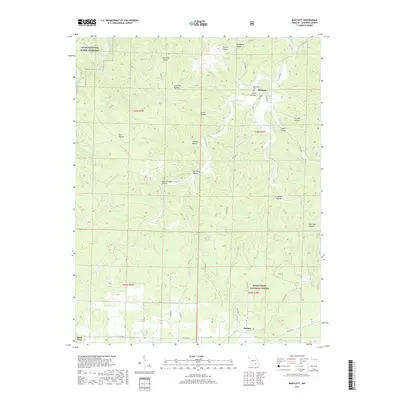
 - 2011 Map of Bartlett, 2011 Print
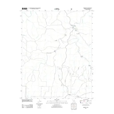 2011 Bartlett2011 Print · USGSCovers Birch Tree, including Delaware, Bartlett, and other nearby areas
 - 2012 Map of Birch Tree, 2012 Print
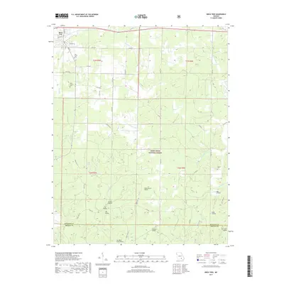
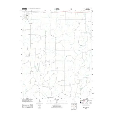 2012 Birch Tree2012 Print · USGSCovers Birch Tree, including Shannon County, Oregon County, and other nearby areas
 - 2015 Map of Jam Up Cave, 2015 Print
 2015 Jam Up Cave2015 Print · USGSCovers Birch Tree, including Shannon County, United States, and other nearby areas
 - 2015 Map of Bartlett, 2015 Print
 2015 Bartlett2015 Print · USGSCovers Birch Tree, including Delaware, Bartlett, and other nearby areas
 - 2015 Map of Montier, 2015 Print
 2015 Montier2015 Print · USGSCovers Birch Tree, including Montier, Not, and other nearby areas
 - 2015 Map of Birch Tree, 2015 Print
 2015 Birch Tree2015 Print · USGSCovers Birch Tree, including Shannon County, Oregon County, and other nearby areas
 - 2017 Map of Montier, 2017 Print
 2017 Montier2017 Print · USGSCovers Birch Tree, including Montier, Not, and other nearby areas
 - 2017 Map of Bartlett, 2017 Print
 2017 Bartlett2017 Print · USGSCovers Birch Tree, including Delaware, Bartlett, and other nearby areas
 - 2017 Map of Jam Up Cave, 2017 Print
 2017 Jam Up Cave2017 Print · USGSCovers Birch Tree, including Shannon County, United States, and other nearby areas
 - 2017 Map of Birch Tree, 2017 Print
 2017 Birch Tree2017 Print · USGSCovers Birch Tree, including Shannon County, Oregon County, and other nearby areas
 - 2021 Map of Bartlett, 2021 Print
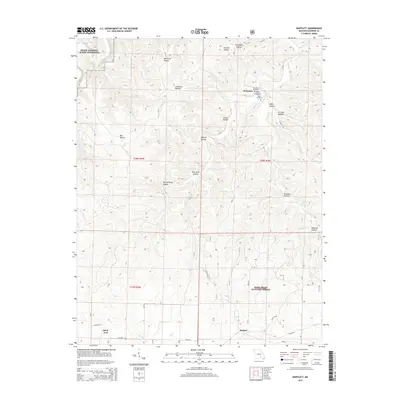
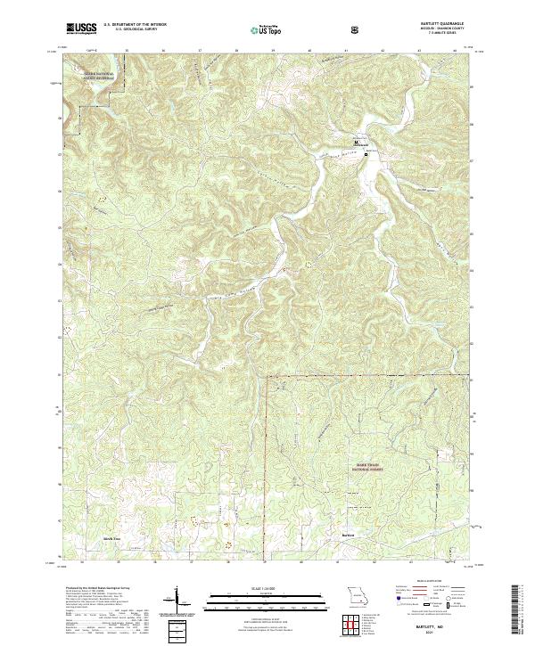 2021 Bartlett2021 Print · USGSShannon County's deep hollows and timberlands are documented here as they appeared in the early 2020s. Researchers can trace family sites like Delaware Cem near the community of Delaware or explore the drainage of Mahans Cr.
 - 2021 Map of Montier, 2021 Print
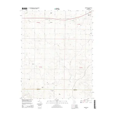
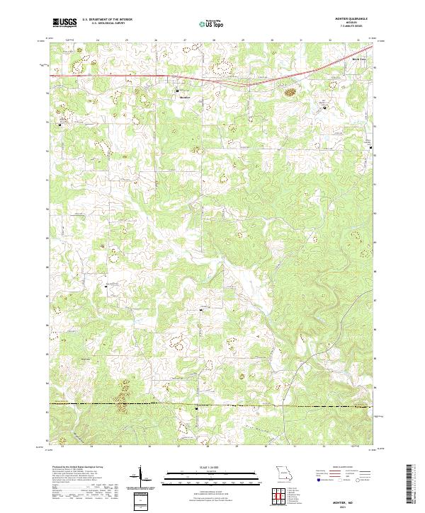 2021 Montier2021 Print · USGSShannon County at the start of the 2020s shows a landscape of deep hollows and high ridges centered on the settlement of Montier. Genealogists can trace numerous local burial grounds like New Salem Cem, Bethlehem Cem, and Pleasant Grove Cem along the rural roads.
 - 2021 Map of Jam Up Cave, 2021 Print
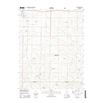
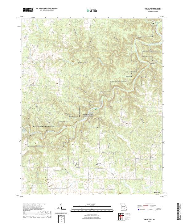 2021 Jam Up Cave2021 Print · USGSShannon County's deep hollows and river bends are captured here in the early twenty-first century as the Ozark National Scenic Riverway protects the corridor. Genealogists can locate family sites near Dyer Cem, Duncan Cem, or Turkey Oak Cem.
 - 2021 Map of Birch Tree, 2021 Print
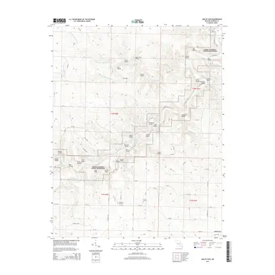
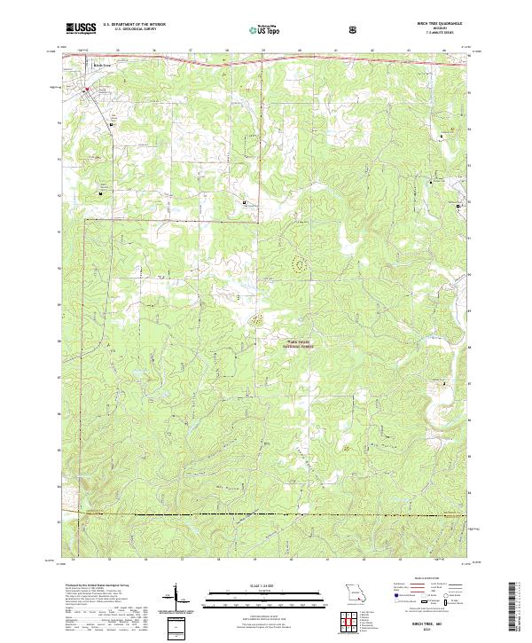 2021 Birch Tree2021 Print · USGSThe northern Ozarks come into focus here in the early twenty-first century, centered on the settlement of Birch Tree. Genealogists and local historians can trace legacy sites across the wooded hollows, including Oak Forest Cem, Williams Cem, and the secluded Mine Hollow.
End of results
Showing maps 1-16 of 16
Top cities near Birch Tree
- Mountain View historical maps
- Winona historical maps
- Eminence historical maps
- Summersville historical maps
Frequently asked questions
- What are the different types of historical maps available for Birch Tree?
- What is the oldest map of Birch Tree?
- Where can I purchase historical maps of Birch Tree for my home or office?
- Where can I download high-res historical maps of Birch Tree?
- Are there historical topographic maps available for Birch Tree?
- Is there historical aerial imagery available for Birch Tree?
- Where are historical maps of Birch Tree sourced from?