Old Maps of Shannondale, Missouri for Academic Research
Study the evolution of Shannondale with 18 high-resolution historic maps. Whether you're teaching, researching, or modeling changes in land use, these maps provide essential visual documentation of urban, environmental, and geographic change.
- Analyze long-term change: Track patterns in development, transportation, and natural features.
- Ideal for environmental or urban studies: Support academic projects with primary historical map data.
- Use in the classroom or lab: Educators and researchers rely on these maps to bring historical context to life.
These maps are a powerful tool for teaching, research, and visualizing how Shannondale has changed over the decades.
Shannondale, MO maps
(18)- 1945 Map of Round Spring, 1962 Print
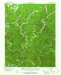 1945 Round Spring1962 Print · USGSThe Ozark hill country of Shannon County comes to life in the mid-1940s, revealing a landscape of remote hollows and riverside camps. Genealogists and historians can trace old community hubs like the Brushy Post Office, Mauser's Mill, and several country schools.2 unique versions available
 - 1947 Map of Sinkin
 1947 Sinkin1947 Print · USGSShannon County in the late 1940s reveals a landscape of spring-fed rivers and remote timber settlements. Genealogists and historians can locate numerous rural schools like Sugar Tree Grove Sch and trace the river-mill economy at Brushy Mill and Mansers Mill.
 - 1949 Map of Round Spring
 1949 Round Spring1949 Print · USGSThe Ozark riverways of Shannon and Dent Counties are captured here in the late 1940s as state and federal forestry lands began to consolidate. Local researchers can trace family roots through remote landmarks like Swinney Cem, Falk Mill, and the isolated Brushy PO.
 - 1949 Map of Rolla, 1950 Print
 1949 Rolla1950 Print · USGSThe Missouri Ozarks are captured here just after the war, showing a landscape of deep river valleys and emerging reservoir projects. Genealogists and historians can trace the mining towns of Bonne Terre and Potosi or follow the early route of U.S. Highway 66.
 - 1953 Map of Rolla
 1953 Rolla1953 Print · USGSSoutheast Missouri’s mining towns and timberlands are seen here at the start of the 1950s. Genealogists and historians can trace the rail-and-river economy through local hubs like Fredericktown and the lead-mining heritage of Potosi and Desloge.
 - 1954 Map of Rolla, 1970 Print
 1954 Rolla1970 Print · USGSThe Missouri Ozarks and the historic Lead Belt are captured in the late sixties, showing a landscape of deep river hollows and industrial mines. Researchers can trace the routes of the Missouri Pacific RR to extraction sites like the Iron Mountain Mine or Pea Ridge Mine.2 unique versions available
 - 1958 Map of Rolla
 1958 Rolla1958 Print · USGSThe Missouri Ozarks and the lead-rich hills of the southeast are captured here in the late fifties as timber and mining shaped the local economy. Researchers can locate family landmarks like the Rolla Cemetery or trace old rail lines including the Missouri-Illinois RR and St Louis-San Francisco RR.
 - 1959 Map of Rolla
 1959 Rolla1959 Print · USGSMid-century Missouri is defined here by the deep forests of the Ozarks and the industrial peaks of the St Francois Mountains. Genealogists and historians can trace the development of towns like Potosi and Fredericktown or locate rural landmarks like Dry Fork Church and the Phelps County Courthouse.
 - 1960 Map of Rolla
 1960 Rolla1960 Print · USGSThe Ozark Highlands in the mid-twentieth century reveal a landscape of deep timber and heavy industry. Researchers can trace the rail-and-mine economy through the St Louis-San Francisco RR and the Iron Mountain Mine, alongside the growth of Fort Leonard Wood.
 - 1966 Map of Rolla
 1966 Rolla1966 Print · USGSThe Missouri Ozarks are revealed here in the mid-1960s, showing the intersection of heavy industry and sprawling national forests. Trace the development of the Lead Belt near Flat River or locate family roots in vanished hamlets like Enough and Howes Mill.
 - 1967 Map of Gladden, 1969 Print
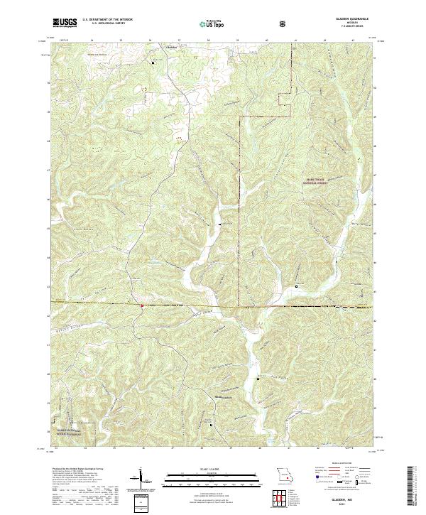
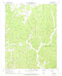 1967 Gladden1969 Print · USGSThe Missouri Ozarks during the late sixties are captured here along the border of Dent and Shannon counties. Genealogists and hikers can locate family burial sites like Empire Cem and Gray Cem or trace the karst landscape at Devils Well.
 - 1971 Map of Rolla
 1971 Rolla1971 Print · USGSThe Missouri Ozarks are captured here during the early seventies, showing a landscape of deep river valleys and industrial mining towns. Researchers can trace historic lead mining operations at St Joseph Mines and locate rural landmarks like Viburnum and the Galveston Trail.
 - 1986 Map of Spring Valley
 1986 Spring Valley1986 Print · USGSThe Missouri Ozarks are showcased in the mid-1980s, revealing a landscape defined by state forests and the protected waters of the Current River. Researchers can trace local heritage through landmarks like Oakside Ch, Fletcher Mine, and Summersville Cem.2 unique versions available
 - 1989 Map of Rolla
 1989 Rolla1989 Print · USGSThe Missouri Ozarks are captured in the late eighties as a landscape of national forests and historic mining towns. Researchers can trace the rail lines of the Missouri Pacific RR or locate landmarks like Taum Sauk Mtn and Elephant Rocks State Park.
 - 2011 Map of Gladden, 2011 Print
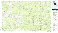
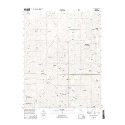
 2011 Gladden2011 Print · USGSCovers Shannondale, including Halcyon, Gladden, and other nearby areas
 - 2015 Map of Gladden, 2015 Print
 2015 Gladden2015 Print · USGSCovers Shannondale, including Halcyon, Gladden, and other nearby areas
 - 2017 Map of Gladden, 2017 Print
 2017 Gladden2017 Print · USGSCovers Shannondale, including Halcyon, Gladden, and other nearby areas
 - 2021 Map of Gladden, 2021 Print
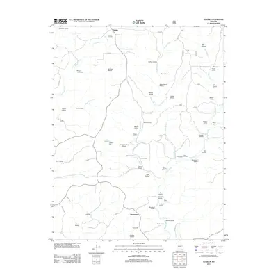
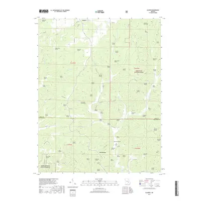
 2021 Gladden2021 Print · USGSThe Dent and Shannon County line runs through this Ozark highland area as it appeared in the early 2020s. Genealogists can locate several remote burial sites like Empire Cem and Short Cem tucked among the many named drainages such as McCarter Hollow.
End of results
Showing maps 1-18 of 18
Top cities near Shannondale
Frequently asked questions
- What are the different types of historical maps available for Shannondale?
- What is the oldest map of Shannondale?
- Where can I purchase historical maps of Shannondale for my home or office?
- Where can I download high-res historical maps of Shannondale?
- Are there historical topographic maps available for Shannondale?
- Is there historical aerial imagery available for Shannondale?
- Where are historical maps of Shannondale sourced from?