Old Maps of Stoddard County, Missouri
Explore 76 old maps of Stoddard County, spanning from 1931 to today. These high-resolution historic maps reveal how streets, neighborhoods, landmarks, and natural features evolved over time — perfect for genealogy, metal detecting, research, and local history exploration.
What you can do with these maps:
- See how Stoddard County changed over time: Compare historical maps to modern-day views to trace roads, homesites, rail lines & more.
- View detailed metadata: Each map includes creators, publishers, year, scale, and archive source.
- Overlay maps with satellite & LiDAR: Visualize the past alongside modern tools to explore terrain & human change.
- Trusted historical sources: Maps sourced from the USGS, Library of Congress, and other archives.
- Access maps your way: View online, download high-res files, or order prints for personal or research use.
Start exploring old maps of Stoddard County to uncover forgotten places, hidden landmarks, and the deep history beneath your feet.
Stoddard County, MO maps
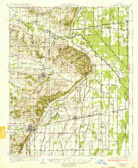
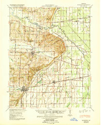
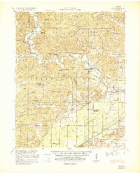
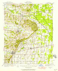
(76)- 1931 Map of Sikeston
 1931 Sikeston1931 Print · USGSCovers Stoddard County, including Sikeston, Morehouse, and other nearby areas2 unique versions available
 - 1934 Map of Morley
 1934 Morley1934 Print · USGSCovers Stoddard County, including Cape Girardeau, Scott City, and other nearby areas3 unique versions available
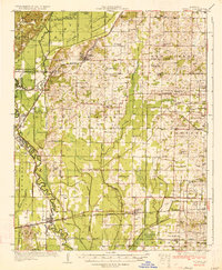
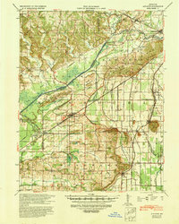
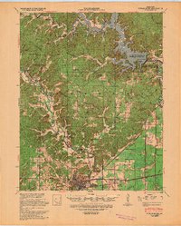
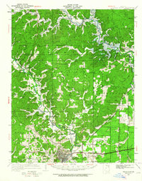
 - 1934 Map of Bloomfield
 1934 Bloomfield1934 Print · USGSCovers Stoddard County, including Dexter, Bloomfield, and other nearby areas3 unique versions available
 - 1934 Map of Sikeston
 1934 Sikeston1934 Print · USGSCovers Stoddard County, including Sikeston, Morehouse, and other nearby areas2 unique versions available
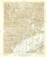
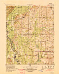
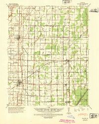
 - 1934 Map of Advance
 1934 Advance1934 Print · USGSCovers Stoddard County, including Advance, Bell City, and other nearby areas3 unique versions available
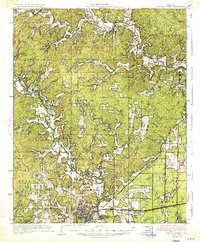
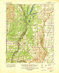
 - 1934 Map of Puxico
 1934 Puxico1934 Print · USGSCovers Stoddard County, including Puxico, Fisk, and other nearby areas2 unique versions available
 - 1935 Map of Poplar Bluff
 1935 Poplar Bluff1935 Print · USGSCovers Stoddard County, including Poplar Bluff, Empire, and other nearby areas3 unique versions available
 - 1935 Map of Zalma
 1935 Zalma1935 Print · USGSCovers Stoddard County, including Zalma, Sturdivant, and other nearby areas3 unique versions available
 - 1939 Map of Bloomfield
 1939 Bloomfield1939 Print · USGSCovers Stoddard County, including Dexter, Bloomfield, and other nearby areas
 - 1939 Map of Sikeston
 1939 Sikeston1939 Print · USGSCovers Stoddard County, including Sikeston, Morehouse, and other nearby areas
 - 1939 Map of New Madrid, 1941 Print
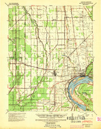 1939 New Madrid1941 Print · USGSCovers Stoddard County, including New Madrid, Lilbourn, and other nearby areas
 - 1939 Map of Morley, 1942 Print
 1939 Morley1942 Print · USGSCovers Stoddard County, including Cape Girardeau, Scott City, and other nearby areas2 unique versions available
 - 1939 Map of Advance, 1942 Print
 1939 Advance1942 Print · USGSCovers Stoddard County, including Advance, Bell City, and other nearby areas
 - 1939 Map of Puxico, 1942 Print
 1939 Puxico1942 Print · USGSCovers Stoddard County, including Puxico, Fisk, and other nearby areas
 - 1939 Map of Zalma, 1943 Print
 1939 Zalma1943 Print · USGSCovers Stoddard County, including Zalma, Sturdivant, and other nearby areas2 unique versions available
 - 1939 Map of Poplar Bluff, 1949 Print
 1939 Poplar Bluff1949 Print · USGSCovers Stoddard County, including Poplar Bluff, Empire, and other nearby areas
 - 1940 Map of Malden, 1942 Print
 1940 Malden1942 Print · USGSCovers Stoddard County, including Malden, Bernie, and other nearby areas
 - 1940 Map of Valley Ridge, 1943 Print
 1940 Valley Ridge1943 Print · USGSCovers Stoddard County, including Malden, Campbell, and other nearby areas
 - 1949 Map of Paducah
 1949 Paducah1949 Print · USGSCovers Stoddard County, including Cape Girardeau, Paducah, and other nearby areas2 unique versions available
 - 1949 Map of Rolla, 1950 Print
 1949 Rolla1950 Print · USGSCovers Stoddard County, including Rolla, Farmington, and other nearby areas
 - 1949 Map of Bloomfield, 1958 Print
 1949 Bloomfield1958 Print · USGSCovers Stoddard County, including Dexter, Bloomfield, and other nearby areas
 - 1949 Map of Poplar Bluff, 1964 Print
 1949 Poplar Bluff1964 Print · USGSCovers Stoddard County, including Poplar Bluff, Empire, and other nearby areas
 - 1950 Map of Paducah
 1950 Paducah1950 Print · USGSCovers Stoddard County, including Cape Girardeau, Paducah, and other nearby areas
 - 1953 Map of Rolla
 1953 Rolla1953 Print · USGSCovers Stoddard County, including Rolla, Farmington, and other nearby areas
 - 1954 Map of Paducah
 1954 Paducah1954 Print · USGSCovers Stoddard County, including Cape Girardeau, Paducah, and other nearby areas2 unique versions available
Showing maps 1-25 of 76
Top cities of Stoddard County
- Dexter historical maps
- Bloomfield historical maps
- Bernie historical maps
- Advance historical maps
- Puxico historical maps
- Essex historical maps
See more
Frequently asked questions
- What are the different types of historical maps available for Stoddard County?
- What is the oldest map of Stoddard County?
- Where can I purchase historical maps of Stoddard County for my home or office?
- Where can I download high-res historical maps of Stoddard County?
- Are there historical topographic maps available for Stoddard County?
- Is there historical aerial imagery available for Stoddard County?
- Where are historical maps of Stoddard County sourced from?