Old Maps of Stoutland, Missouri for Genealogy
Trace your family roots with 11 historic maps of Stoutland. These high-res maps reveal old neighborhoods, homesites, landmarks, and streets — helping you uncover where your ancestors lived and how the area evolved over time.
- Explore historic neighborhoods: Identify where your relatives may have lived in the 1800s or 1900s.
- Compare maps over time: Trace the changes in streets, buildings, and landmarks for multi-generational research.
- Perfect for genealogy & ancestry research: Used by family historians and researchers to map out lineage and migration.
These maps are an incredible resource for exploring your personal connection to Stoutland's past.
Stoutland, MO maps
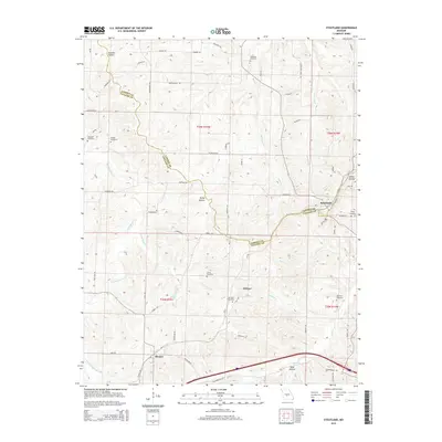
(11)- 1933 Map of Stoutland, 1962 Print
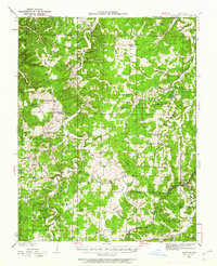 1933 Stoutland1962 Print · USGSThe Missouri Ozarks during the 1930s are captured here as a landscape of isolated hollows and rail-connected towns. Researchers can trace the St Louis San Francisco railroad line through Stoutland or locate family sites like Bradshaw Cem and Merchant Sch.2 unique versions available
 - 1938 Map of Stoutland
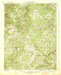 1938 Stoutland1938 Print · USGSThe Missouri Ozarks are captured here during the 1930s, showing a landscape of ridge-top farms and creek-bottom settlements. Researchers can trace the heritage of Camden and Laclede counties through sites like Ozark Fisheries, Darrow Cem, and Stoutland.
 - 1954 Map of Springfield
 1954 Springfield1954 Print · USGSThe Missouri Ozarks are captured here during the post-war era, showing the expansion of Springfield and the surrounding river valleys. Genealogists and historians can trace local landmarks like Mount Comfort Cemetery and the Fort Leonard Wood military grounds.6 unique versions available
 - 1958 Map of Springfield
 1958 Springfield1958 Print · USGSThe Missouri Ozarks are captured during the mid-century era of growth, centered on the bustling hub of Springfield. Genealogists and historians can trace family roots through numerous landmarks like Ebenezer Church, Stockton Cem, and the various county courthouses.
 - 1959 Map of Springfield
 1959 Springfield1959 Print · USGSThe Missouri Ozarks are captured here during a decade of postwar growth and increasing highway connectivity. Researchers can trace the legacy of the St Louis-San Francisco RR and locate early sites in Springfield, Lebanon, and Mountain Grove.
 - 1978 Map of Stoutland
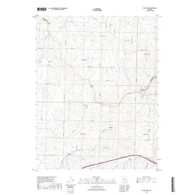
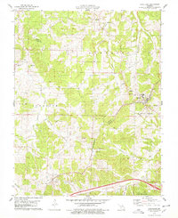 1978 Stoutland1978 Print · USGSStoutland and the rugged Ozark borderlands of Camden and Laclede Counties are documented here in the late seventies. Researchers can trace rural lineages through numerous sites like Lomax Cem, Fulbright Cem, and the tracks of the St Louis-San Francisco railroad.
 - 1982 Map of Lebanon, 1983 Print
 1982 Lebanon1983 Print · USGSThe Missouri Ozarks are captured in the early eighties as Interstate 44 and the St Louis-San Francisco rail line link growing towns with the Fort Leonard Wood Military Reservation. Genealogists and historians can trace family-named sites like Flatwood Church and old post offices at Sleeper and Nebo.
 - 2011 Map of Stoutland, 2011 Print
 2011 Stoutland2011 Print · USGSCovers Stoutland, including Delmar, Sleeper, and other nearby areas
 - 2015 Map of Stoutland, 2015 Print
 2015 Stoutland2015 Print · USGSCovers Stoutland, including Delmar, Sleeper, and other nearby areas
 - 2017 Map of Stoutland, 2017 Print
 2017 Stoutland2017 Print · USGSCovers Stoutland, including Delmar, Sleeper, and other nearby areas
 - 2021 Map of Stoutland, 2021 Print
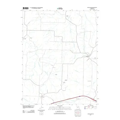
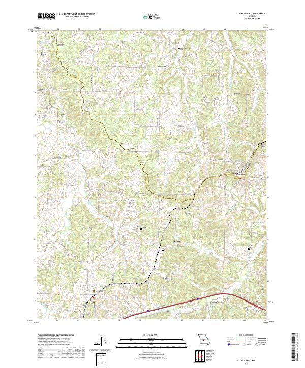 2021 Stoutland2021 Print · USGSStoutland and the surrounding Ozark borderlands are captured here in the early twenty-first century as they span the Laclede and Camden county line. Researchers can locate numerous family burial sites like Hillhouse Cem and Barnett Cem near the settlements of Sleeper and Delmar.
End of results
Showing maps 1-11 of 11
Top cities near Stoutland
- Lebanon historical maps
- Camdenton historical maps
- Richland historical maps
- Linn Creek historical maps
- Caffeyville historical maps
Frequently asked questions
- What are the different types of historical maps available for Stoutland?
- What is the oldest map of Stoutland?
- Where can I purchase historical maps of Stoutland for my home or office?
- Where can I download high-res historical maps of Stoutland?
- Are there historical topographic maps available for Stoutland?
- Is there historical aerial imagery available for Stoutland?
- Where are historical maps of Stoutland sourced from?