Old Maps of Argenta, Montana for Academic Research
Study the evolution of Argenta with 14 high-resolution historic maps. Whether you're teaching, researching, or modeling changes in land use, these maps provide essential visual documentation of urban, environmental, and geographic change.
- Analyze long-term change: Track patterns in development, transportation, and natural features.
- Ideal for environmental or urban studies: Support academic projects with primary historical map data.
- Use in the classroom or lab: Educators and researchers rely on these maps to bring historical context to life.
These maps are a powerful tool for teaching, research, and visualizing how Argenta has changed over the decades.
Argenta, MT maps
(14)- 1893 Map of Dillon
 1893 Dillon1893 Print · USGSSouthwestern Montana’s mountain ranges and river basins were being reshaped by the mining and rail boom in the late nineteenth century. Genealogists and historians can trace the early layout of Dillon and vanished camps like Hecla, Rochester, and Argenta.5 unique versions available
 - 1952 Map of Argenta, 1954 Print
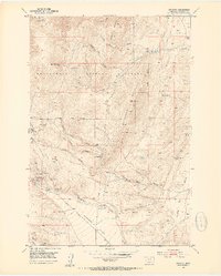 1952 Argenta1954 Print · USGSThe mining district around Argenta is captured here in the early fifties, showing a landscape defined by silver and lead claims. You can trace the Site of Saltman Smelter or locate historic family landmarks like the Argenta Cemetery and Fabac Ranch.6 unique versions available
 - 1955 Map of Dillon, 1978 Print
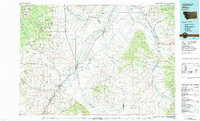
 1955 Dillon1978 Print · USGSSouthwest Montana at the dawn of the interstate era reveals a landscape of high-mountain ranching and historic mining camps. Trace the routes of the Union Pacific through Dillon and Armstead, or locate early settlements like Bannack and Wisdom.2 unique versions available
 - 1957 Map of Dillon
 1957 Dillon1957 Print · USGSSouthwest Montana and Idaho in the mid-fifties reveal a high-country landscape of mountain ranges and ranching valleys. Genealogists can trace family holdings and rail stops along the Union Pacific Railroad, from Dillon to historic Virginia City and Twin Bridges.
 - 1958 Map of Dillon
 1958 Dillon1958 Print · USGSSouthwestern Montana during the late fifties reveals a high-country landscape defined by the Continental Divide and a legacy of mountain mining. Genealogists and historians can trace rail lines like the Union Pacific or locate early industrial sites including the Hecla Mine and Ermont Mine.
 - 1962 Map of Dillon
 1962 Dillon1962 Print · USGSSouthwest Montana in the early sixties is defined by its high mountain ranges and the winding rivers that carved its settlement patterns. Trace the rail routes of the Union Pacific through Dillon or locate mining activity near Butte and Argenta.
 - 1965 Map of Dillon
 1965 Dillon1965 Print · USGSSouthwest Montana in the mid-1960s is defined by its rugged river valleys and high mountain passes along the Continental Divide. Researchers can trace the path of the Union Pacific through Dillon and Armstead, or locate early mining activity near Melrose and Wise River.
 - 1983 Map of Dillon
 1983 Dillon1983 Print · USGSSouthwestern Montana’s ranching and mining heritage is recorded here in the early eighties, centered on the growing hub of Dillon. Researchers can trace the legacy of early gold strikes at Bannack or locate legacy claims like the Silver Bell Mine and Legal Tender Mine.
 - 1997 Map of Argenta, 2002 Print
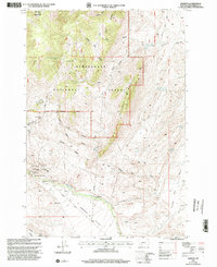 1997 Argenta2002 Print · USGSBeaverhead County’s mining heart is on display in the 1990s as the high-country settlements and silver-lead claims are meticulously mapped. Researchers can trace the legacy of the Tuscarora Mine, locate the Argenta Cem, and find the Site of Seligman Smelter.
 - 2011 Map of Argenta, 2011 Print
 2011 Argenta2011 Print · USGSCovers Argenta, including Beaverhead County, United States, and other nearby areas
 - 2014 Map of Argenta, 2014 Print
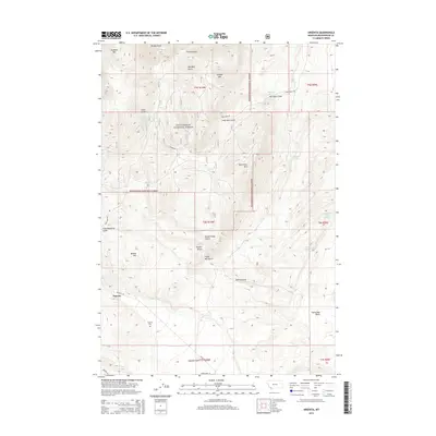 2014 Argenta2014 Print · USGSCovers Argenta, including Beaverhead County, United States, and other nearby areas
 - 2017 Map of Argenta, 2017 Print
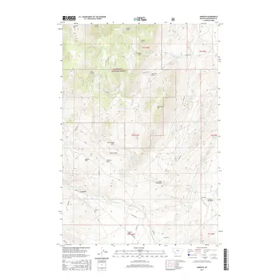 2017 Argenta2017 Print · USGSCovers Argenta, including Beaverhead County, United States, and other nearby areas
 - 2020 Map of Argenta, 2020 Print
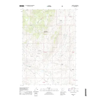 2020 Argenta2020 Print · USGSCovers Argenta, including Beaverhead County, United States, and other nearby areas
 - 2024 Map of Argenta, 2024 Print
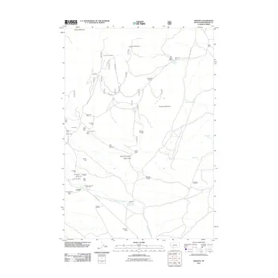
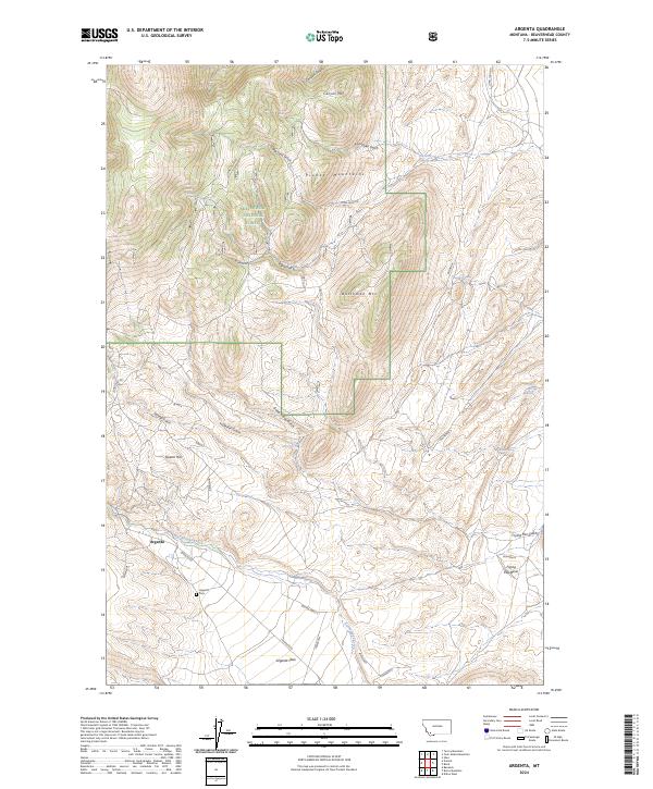 2024 Argenta2024 Print · USGSThe mining and ranching country of Beaverhead County is documented here in its contemporary landscape. Genealogists and local historians can trace the foundations of Argenta, find the Argenta Cem, and explore the gulches of the Pioneer Mountains.
End of results
Showing maps 1-14 of 14
Top cities near Argenta
Frequently asked questions
- What are the different types of historical maps available for Argenta?
- What is the oldest map of Argenta?
- Where can I purchase historical maps of Argenta for my home or office?
- Where can I download high-res historical maps of Argenta?
- Are there historical topographic maps available for Argenta?
- Is there historical aerial imagery available for Argenta?
- Where are historical maps of Argenta sourced from?