Old Maps of Wise River, Montana for Hiking & Exploration
Hike through history with 13 historic maps of Wise River. Explore old trails, ghost towns, and forgotten backroads — perfect for outdoor adventurers and local explorers.
- Rediscover forgotten places: Map out old mining camps, roads, and footpaths that no longer exist on modern maps.
- Layer with modern tools: Combine with LiDAR or satellite views to plan hikes through historical terrain.
- Made for exploration: Popular among hikers, overlanders, and local history lovers.
Use these maps to find adventure and explore the hidden past of Wise River.
Wise River, MT maps
(13)- 1893 Map of Dillon
 1893 Dillon1893 Print · USGSSouthwestern Montana’s mountain ranges and river basins were being reshaped by the mining and rail boom in the late nineteenth century. Genealogists and historians can trace the early layout of Dillon and vanished camps like Hecla, Rochester, and Argenta.5 unique versions available
 - 1955 Map of Dillon, 1978 Print
 1955 Dillon1978 Print · USGSSouthwest Montana at the dawn of the interstate era reveals a landscape of high-mountain ranching and historic mining camps. Trace the routes of the Union Pacific through Dillon and Armstead, or locate early settlements like Bannack and Wisdom.2 unique versions available
 - 1957 Map of Dillon
 1957 Dillon1957 Print · USGSSouthwest Montana and Idaho in the mid-fifties reveal a high-country landscape of mountain ranges and ranching valleys. Genealogists can trace family holdings and rail stops along the Union Pacific Railroad, from Dillon to historic Virginia City and Twin Bridges.
 - 1958 Map of Dillon
 1958 Dillon1958 Print · USGSSouthwestern Montana during the late fifties reveals a high-country landscape defined by the Continental Divide and a legacy of mountain mining. Genealogists and historians can trace rail lines like the Union Pacific or locate early industrial sites including the Hecla Mine and Ermont Mine.
 - 1961 Map of Wise River, 1964 Print
 1961 Wise River1964 Print · USGSThe Big Hole River valley comes to life in the early sixties, showing the vital junction at Wise River and the sprawling Beaverhead National Forest. Genealogists and historians can trace the Old Railroad Grade and locate the Wise River Sch or Pattersons Corner.2 unique versions available
 - 1962 Map of Dillon
 1962 Dillon1962 Print · USGSSouthwest Montana in the early sixties is defined by its high mountain ranges and the winding rivers that carved its settlement patterns. Trace the rail routes of the Union Pacific through Dillon or locate mining activity near Butte and Argenta.
 - 1965 Map of Dillon
 1965 Dillon1965 Print · USGSSouthwest Montana in the mid-1960s is defined by its rugged river valleys and high mountain passes along the Continental Divide. Researchers can trace the path of the Union Pacific through Dillon and Armstead, or locate early mining activity near Melrose and Wise River.
 - 1975 Map of Butte South
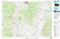 1975 Butte South1975 Print · USGSIn the mid-1970s, the mountainous terrain south of Butte was a hub of mining and rail activity. You can trace the Burlington Northern line through historic settlements like Melrose, Twin Bridges, and Whitehall, or locate family-named mines including Watseca Mine and Hecla Mines.
 - 2011 Map of Wise River, 2011 Print
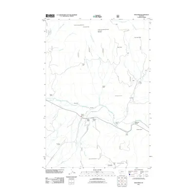 2011 Wise River2011 Print · USGSSilver Bow County at the start of the 2010s shows a mountain landscape defined by the confluence of the Big Hole River and the Wise River. Genealogists and historians can trace the local mining legacy at Keystone Number 20 Mine or locate early civic landmarks like the Wise River Post Office.
 - 2014 Map of Wise River, 2014 Print
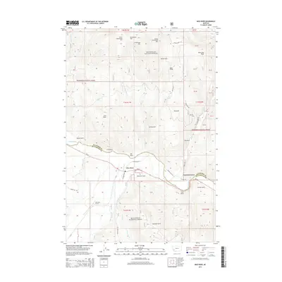 2014 Wise River2014 Print · USGSThe Wise River valley at the Silver Bow and Beaverhead county line comes alive in this survey, showcasing the meeting of the Big Hole River and Wise River. Trace early mountain transit along the Railway Row Rd or locate local landmarks like Patterson Corner and Big Rock.
 - 2017 Map of Wise River, 2017 Print
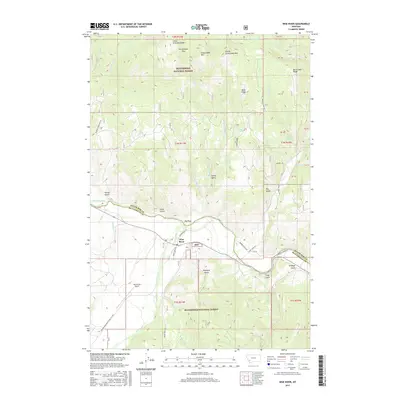 2017 Wise River2017 Print · USGSThe high country of the Big Hole Valley is captured here in the late twenty-tens, showing the intersection of mountain geography and regional history. Trace the paths of the Old RR and Narrow Guage Rd near the settlement of Wise River.
 - 2020 Map of Wise River, 2020 Print
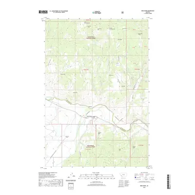 2020 Wise River2020 Print · USGSThe confluence of the Big Hole and Wise rivers near the Beaverhead National Forest highlights this recent study of Montana’s high-country terrain. Researchers can trace historic access routes like Narrow Guage Rd and name-rich landmarks such as Patton Spring and Granulated Pass.
 - 2024 Map of Wise River, 2024 Print
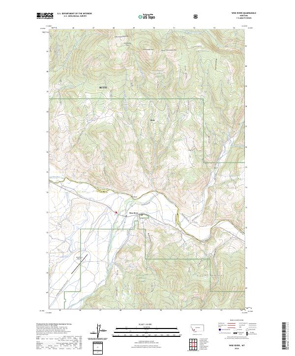 2024 Wise River2024 Print · USGSThe Wise River valley at the edge of the Pioneer Mountains is shown here in detail during the early 21st century. Researchers can trace the route of the Old RR, locate the Wise River Airport, and explore mountain landmarks like Granulated Pass.
End of results
Showing maps 1-13 of 13
Top cities near Wise River
Frequently asked questions
- What are the different types of historical maps available for Wise River?
- What is the oldest map of Wise River?
- Where can I purchase historical maps of Wise River for my home or office?
- Where can I download high-res historical maps of Wise River?
- Are there historical topographic maps available for Wise River?
- Is there historical aerial imagery available for Wise River?
- Where are historical maps of Wise River sourced from?