Old Maps of Saint Xavier, Montana for Hiking & Exploration
Hike through history with 12 historic maps of Saint Xavier. Explore old trails, ghost towns, and forgotten backroads — perfect for outdoor adventurers and local explorers.
- Rediscover forgotten places: Map out old mining camps, roads, and footpaths that no longer exist on modern maps.
- Layer with modern tools: Combine with LiDAR or satellite views to plan hikes through historical terrain.
- Made for exploration: Popular among hikers, overlanders, and local history lovers.
Use these maps to find adventure and explore the hidden past of Saint Xavier.
Saint Xavier, MT maps
(12)- 1894 Map of St. Xavier
 1894 St. Xavier1894 Print · USGSThe Crow Indian Reservation in the 1890s is captured here just as the frontier era was closing. Researchers can trace the path of the Old Bozeman Military Road past St. Xavier Mission and the Site of Old Fort C. F. Smith.
 - 1901 Map of St. Xavier
 1901 St. Xavier1901 Print · USGSBig Horn County at the turn of the century shows a frontier landscape shaped by military history and the early years of the Crow Reservation. Researchers can trace the path of the Old Bozeman Military Road past the Site of Old Fort C. F. Smith and the St. Xavier Mission.4 unique versions available
 - 1954 Map of Hardin, 1964 Print
 1954 Hardin1964 Print · USGSSoutheastern Montana is documented here during the mid-fifties, showing the vast tribal lands and historic battle sites before modern highway expansion. Researchers can trace the Chicago Burlington and Quincy rail line through Hardin or locate the Custer National Cemetery and Museum.2 unique versions available
 - 1957 Map of Hardin
 1957 Hardin1957 Print · USGSSoutheastern Montana in the mid-fifties reveals a landscape shaped by tribal lands and the historic Bighorn river valleys. Researchers can trace the Chicago Burlington and Quincy RR through Hardin and locate the National Cemetery and Custer Battlefield Monument.
 - 1958 Map of Hardin
 1958 Hardin1958 Print · USGSSoutheastern Montana in the mid-fifties presents a landscape defined by significant tribal lands and national monuments. Researchers can trace the geography of the Little Bighorn at Custer Battlefield National Monument and locate settlements like Lame Deer and Birney.
 - 1960 Map of St Xavier, 1962 Print
 1960 St Xavier1962 Print · USGSBig Horn County irrigation and river life are captured here in the early sixties as the Missouri River Basin project shaped the land. Genealogists can locate the St John Ch in St Xavier and trace the paths of Rotten Grass Creek and the Big Horn Canal.2 unique versions available
 - 1980 Map of Lodge Grass, 1981 Print
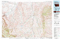 1980 Lodge Grass1981 Print · USGSThe Crow Indian Reservation and the Montana-Wyoming borderlands are captured here in the early eighties. Researchers can trace the Burlington Northern rail line through valley settlements like Lodge Grass, Wyola, and Aberdeen.2 unique versions available
 - 2011 Map of Saint Xavier, 2011 Print
 2011 Saint Xavier2011 Print · USGSBig Horn County at the start of the decade reveals a landscape shaped by irrigation and mission history. Researchers can locate the Saint Xavier Catholic Mission Cemetery and trace the complex waterway of the Big Horn Canal past Ox Yoke Coulee.
 - 2014 Map of Saint Xavier, 2014 Print
 2014 Saint Xavier2014 Print · USGSSaint Xavier and the surrounding Big Horn County plains are captured here in the early twenty-first century. Researchers can trace the legacy of the local mission at the Saint Xavier Catholic Mission Cem and follow the vital irrigation paths of the Big Horn Canal and Soap Cr Ditch.
 - 2017 Map of Saint Xavier, 2017 Print
 2017 Saint Xavier2017 Print · USGSSaint Xavier and the surrounding Big Horn County river valley are shown in this contemporary era, dominated by large-scale irrigation and mission history. Researchers can locate the Saint Xavier Catholic Mission Cem and trace the paths of the Big Horn Canal and Bighorn River.
 - 2020 Map of Saint Xavier, 2020 Print
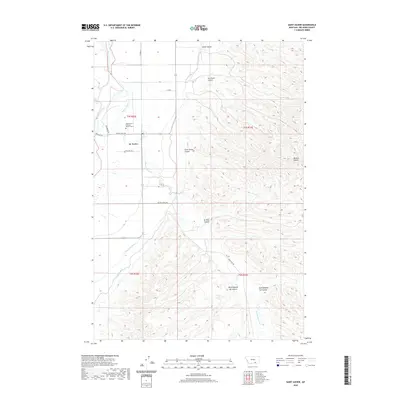 2020 Saint Xavier2020 Print · USGSThe Bighorn River valley and its intricate irrigation networks are documented here as they appeared in 2020. Local historians and genealogists can trace the St. Xavier settlement and its Saint Xavier Catholic Mission Cem alongside landmarks like Mission Buttes.
 - 2024 Map of Saint Xavier, 2024 Print
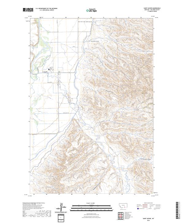 2024 Saint Xavier2024 Print · USGSThe Bighorn River valley in Big Horn County comes to life in this contemporary survey, showing the vital intersection of water and settlement. Genealogists and local historians can locate the Saint Xavier Catholic Mission Cem and trace the paths of Big Horn Canal and Good Luck Rd.
End of results
Showing maps 1-12 of 12
Frequently asked questions
- What are the different types of historical maps available for Saint Xavier?
- What is the oldest map of Saint Xavier?
- Where can I purchase historical maps of Saint Xavier for my home or office?
- Where can I download high-res historical maps of Saint Xavier?
- Are there historical topographic maps available for Saint Xavier?
- Is there historical aerial imagery available for Saint Xavier?
- Where are historical maps of Saint Xavier sourced from?