Old Maps of Toluca, Montana
Explore 11 old maps of Toluca, spanning from 1894 to today. These high-resolution historic maps reveal how streets, neighborhoods, landmarks, and natural features evolved over time — perfect for genealogy, metal detecting, research, and local history exploration.
What you can do with these maps:
- See how Toluca changed over time: Compare historical maps to modern-day views to trace roads, homesites, rail lines & more.
- View detailed metadata: Each map includes creators, publishers, year, scale, and archive source.
- Overlay maps with satellite & LiDAR: Visualize the past alongside modern tools to explore terrain & human change.
- Trusted historical sources: Maps sourced from the USGS, Library of Congress, and other archives.
- Access maps your way: View online, download high-res files, or order prints for personal or research use.
Start exploring old maps of Toluca to uncover forgotten places, hidden landmarks, and the deep history beneath your feet.
Toluca, MT maps
(11)- 1894 Map of Fort Custer
 1894 Fort Custer1894 Print · USGSBig Horn County was still a frontier landscape in the 1890s, defined by the meeting of the Big Horn River and Little Big Horn R. You can trace the early railroad at Pompey Pillar Sta. and the grounds of the Fort Custer Military Reservation.4 unique versions available
 - 1954 Map of Hardin, 1964 Print
 1954 Hardin1964 Print · USGSSoutheastern Montana is documented here during the mid-fifties, showing the vast tribal lands and historic battle sites before modern highway expansion. Researchers can trace the Chicago Burlington and Quincy rail line through Hardin or locate the Custer National Cemetery and Museum.2 unique versions available
 - 1957 Map of Hardin
 1957 Hardin1957 Print · USGSSoutheastern Montana in the mid-fifties reveals a landscape shaped by tribal lands and the historic Bighorn river valleys. Researchers can trace the Chicago Burlington and Quincy RR through Hardin and locate the National Cemetery and Custer Battlefield Monument.
 - 1958 Map of Hardin
 1958 Hardin1958 Print · USGSSoutheastern Montana in the mid-fifties presents a landscape defined by significant tribal lands and national monuments. Researchers can trace the geography of the Little Bighorn at Custer Battlefield National Monument and locate settlements like Lame Deer and Birney.
 - 1969 Map of Rowley, 1972 Print
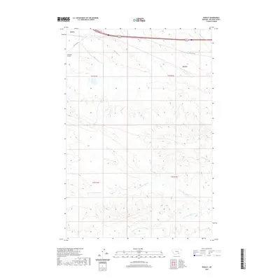
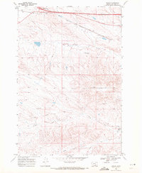 1969 Rowley1972 Print · USGSBig Horn County at the close of the 1960s shows a landscape defined by the Crow Indian Reservation Boundary and major transport corridors. Researchers can trace the Burlington Northern railroad and locate old sites near Toluca and Rowley.
 - 1981 Map of Hardin
 1981 Hardin1981 Print · USGSBig Horn County at the start of the eighties shows a landscape shaped by the Bighorn River and deep historical ties. Researchers can trace the grounds of Custer Battlefield National Monument or find small rail points like Toluca and Crow Agency.
 - 2011 Map of Rowley, 2011 Print
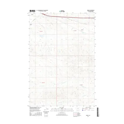
 2011 Rowley2011 Print · USGSCovers Toluca, including Rowley, Big Horn County, and other nearby areas
 - 2014 Map of Rowley, 2014 Print
 2014 Rowley2014 Print · USGSCovers Toluca, including Rowley, Big Horn County, and other nearby areas
 - 2017 Map of Rowley, 2017 Print
 2017 Rowley2017 Print · USGSCovers Toluca, including Rowley, Big Horn County, and other nearby areas
 - 2020 Map of Rowley, 2020 Print
 2020 Rowley2020 Print · USGSCovers Toluca, including Rowley, Big Horn County, and other nearby areas
 - 2024 Map of Rowley, 2024 Print
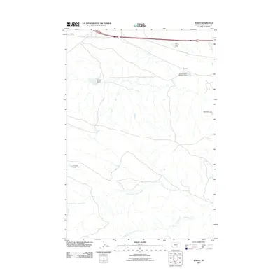
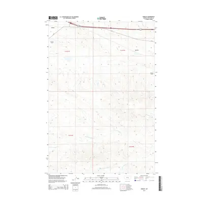
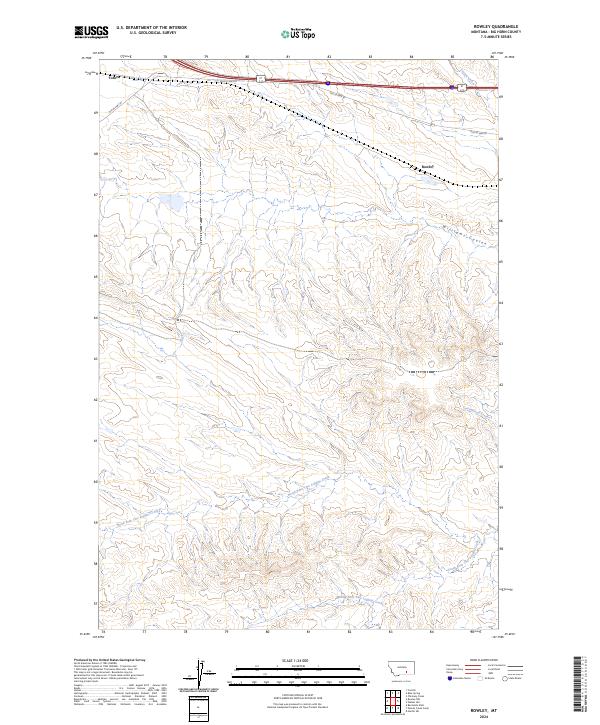 2024 Rowley2024 Print · USGSBig Horn County at the current moment shows a landscape of deep coulees and historic roadway alignments. Researchers can trace the path of Old US Hwy 87 near Toluca or explore the drainage of North Fork Two Leggins Creek.
End of results
Showing maps 1-11 of 11
Frequently asked questions
- What are the different types of historical maps available for Toluca?
- What is the oldest map of Toluca?
- Where can I purchase historical maps of Toluca for my home or office?
- Where can I download high-res historical maps of Toluca?
- Are there historical topographic maps available for Toluca?
- Is there historical aerial imagery available for Toluca?
- Where are historical maps of Toluca sourced from?