2024 Map of Rowley
USGS Topo · Published 2024About this map
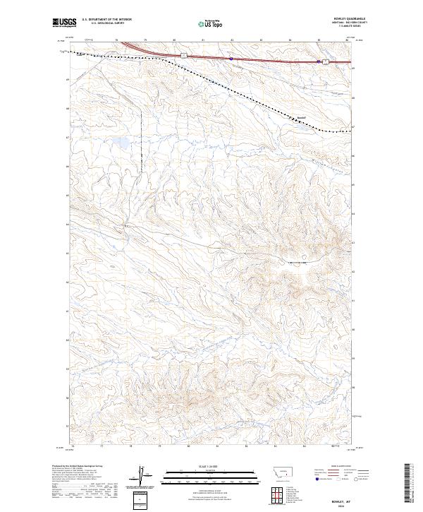
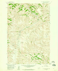
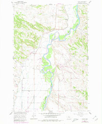
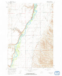
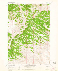
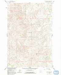
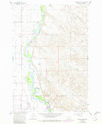
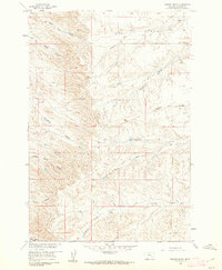
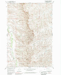
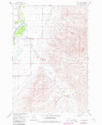
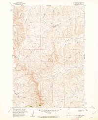
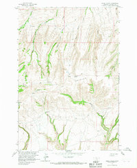
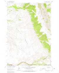
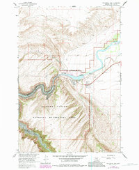
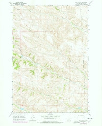
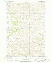
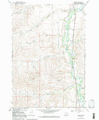
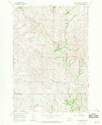
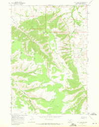
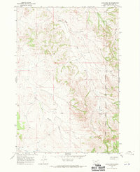
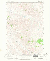
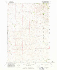
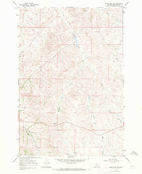
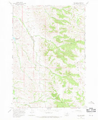
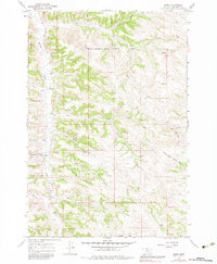
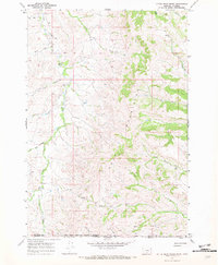
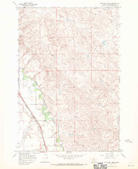
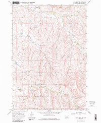
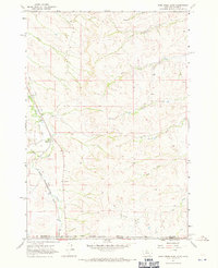
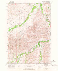
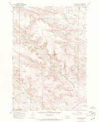
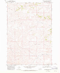
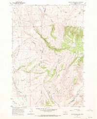
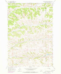
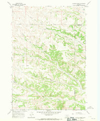
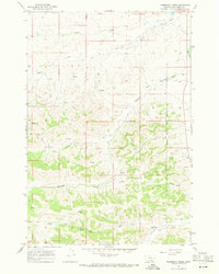
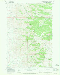
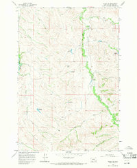
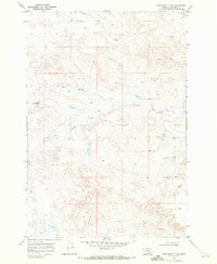
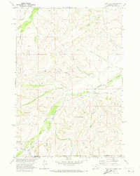
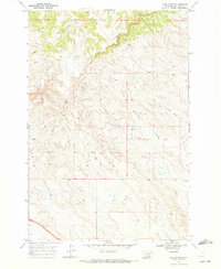
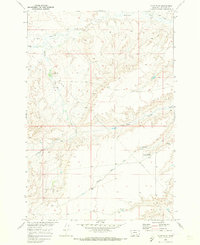
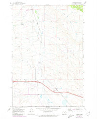
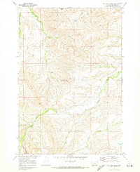
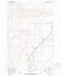
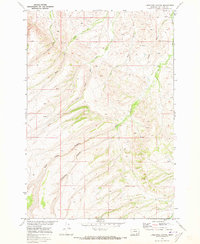
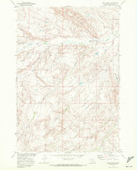
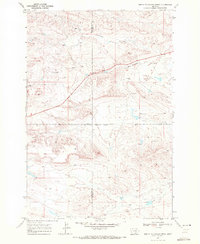
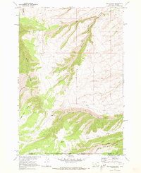
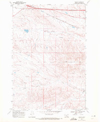
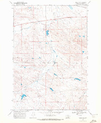
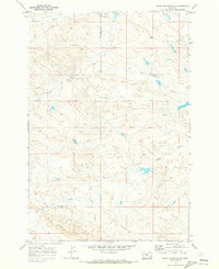
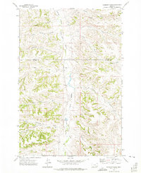
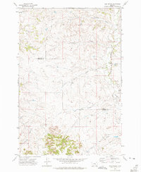
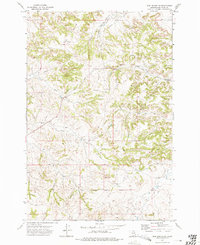
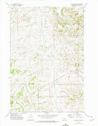
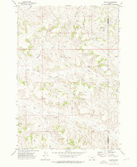
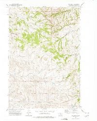
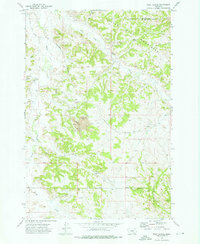
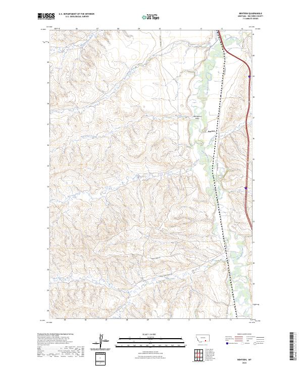
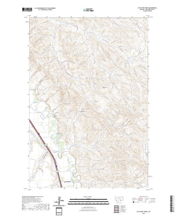
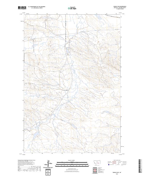
Rowley and Toluca represent the small-scale settlement patterns of Big Horn County, Montana, situated in a landscape defined by an intricate network of drainage systems. The northern portion of the map is dominated by the path of Old US Hwy 87, which follows the natural contours of the land alongside Peritsu Creek. The terrain is deeply carved by watercourses, most notably the three branches of the Two Leggins Creek system: North Fork Two Leggins Creek, Middle Fork Two Leggins Creek, and South Fork Two Leggins Creek. These forks, along with Williams Coulee and Cottonwood Creek, illustrate the complex erosion patterns typical of this Montana region. This contemporary survey by the U.S. Geological Survey provides a detailed topographic record of the area's rural transportation and hydrography as they exist in the early twenty-first century.
Find a feature on this map
14 named features on this map. Tap any name to fly to it.
Don’t see what you’re looking for? This feature index may not catch every label — zoom into the map to look around manually.
Map Details
Editions of this 2024 Rowley Map
This is the sole edition of this map. No revisions or reprints were ever made.
Historical Maps of Toluca Through Time
179 maps found
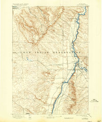
1894 Fort Custer
Big Horn County, MT

1894 Rosebud
Big Horn County, MT
1901 Rosebud
Big Horn County, MT
1958 Birdseye Spring
Big Horn County, MT
1958 Bull Creek Lookout
Big Horn County, MT
1958 Chalky Point
Big Horn County, MT
1958 Painted Hill
Big Horn County, MT
1960 Chimney Creek
Big Horn County, MT
1960 Foster
Big Horn County, MT
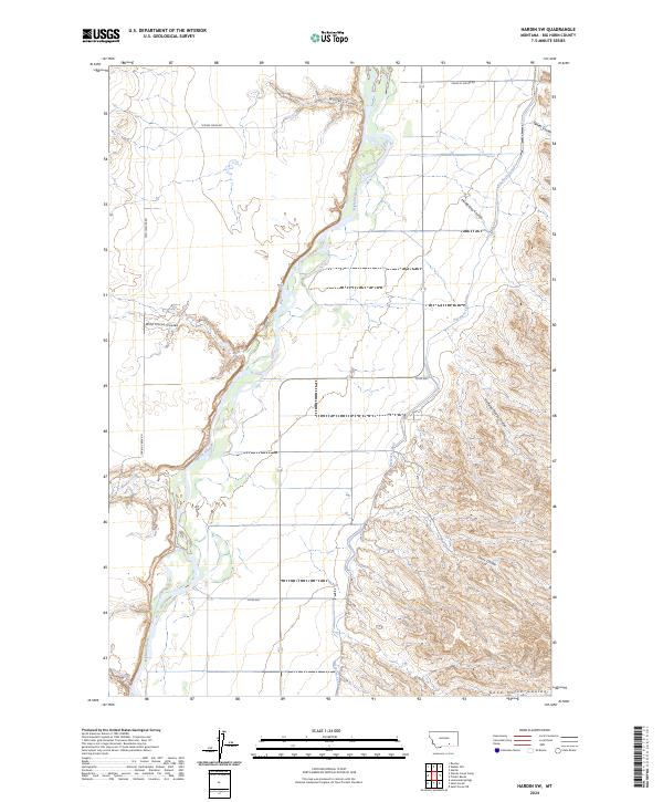
1960 Hardin SW
Big Horn County, MT
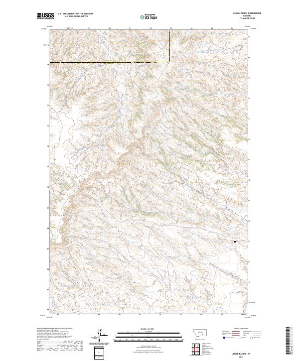
1960 Lemon Ranch
Big Horn County, MT
1960 Mission Coulee
Big Horn County, MT
1960 Ninemile Point
Big Horn County, MT
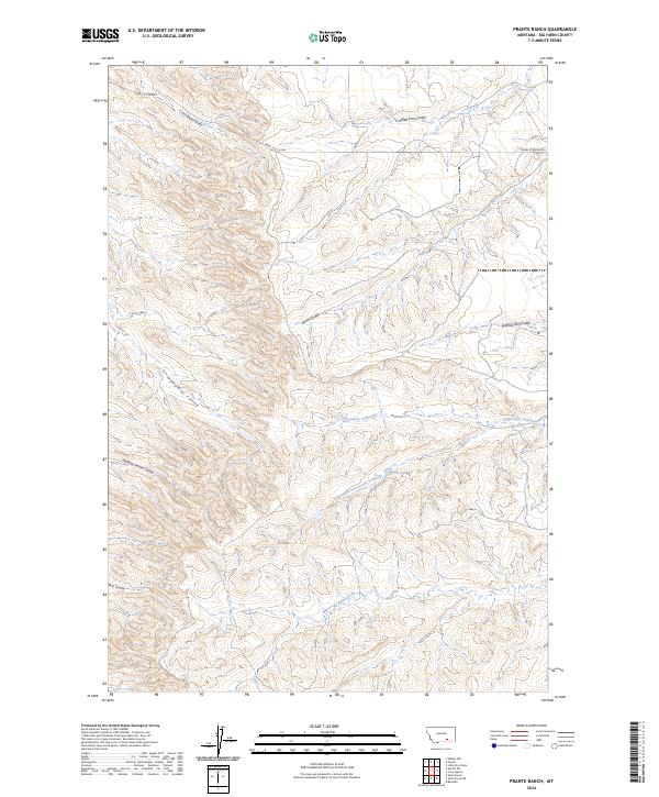
1960 Prante Ranch
Big Horn County, MT
1960 Shick Ranch
Big Horn County, MT
1960 St Xavier
Big Horn County, MT
1960 St Xavier NE
Big Horn County, MT
1960 Walker Hill
Big Horn County, MT
1964 Grapevine Dome
Big Horn County, MT
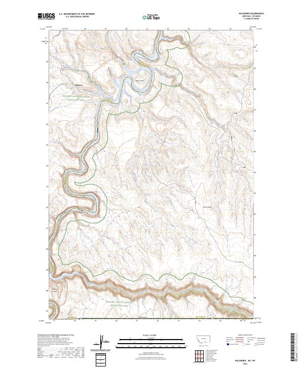
1964 Hillsboro
Big Horn County, MT
1964 Horse Coulee
Big Horn County, MT
1964 Little Finger Ridge
Big Horn County, MT
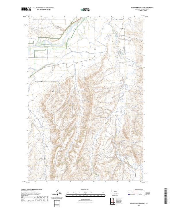
1964 Mountain Pocket Creek
Big Horn County, MT
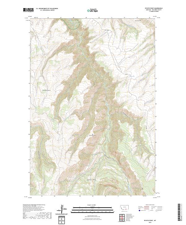
1964 Peyote Point
Big Horn County, MT
1964 Two Point
Big Horn County, MT
1964 Yellowtail Dam
Big Horn County, MT
1967 Bar V Ranch
Big Horn County, MT
1967 Bar V Ranch NE
Big Horn County, MT
1967 Benteen
Big Horn County, MT
1967 Castle Rocks
Big Horn County, MT
1967 Chilkoot Coulee
Big Horn County, MT
1967 Crow Agency NE
Big Horn County, MT
1967 Crow Agency SE
Big Horn County, MT
1967 Decker
Big Horn County, MT
1967 Deep Creek
Big Horn County, MT
1967 Deep Creek SE
Big Horn County, MT
1967 Deep Creek SW
Big Horn County, MT
1967 Good Luck Creek
Big Horn County, MT
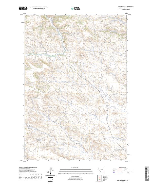
1967 Half Moon Hill
Big Horn County, MT
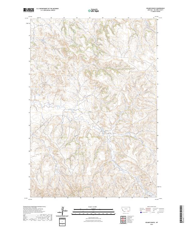
1967 Holmes Ranch
Big Horn County, MT
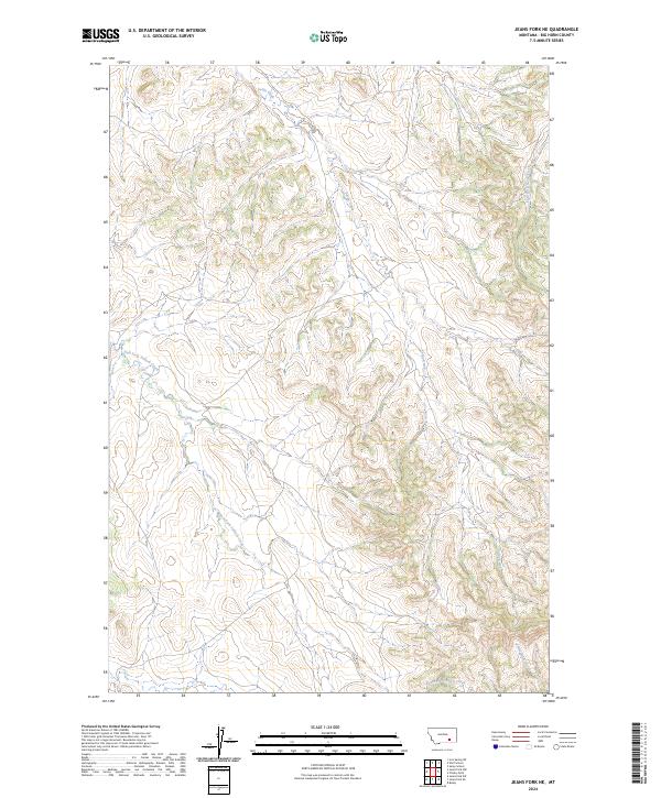
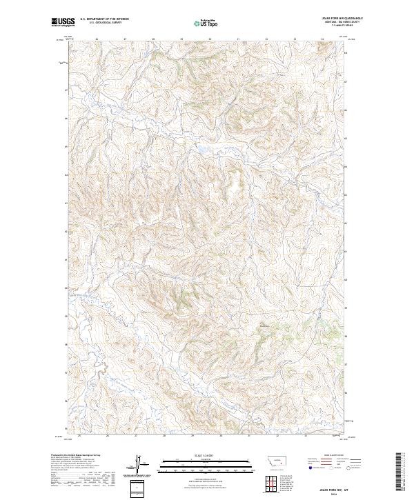
1967 Jeans Fork NE
Big Horn County, MT
1967 Jeans Fork NW
Big Horn County, MT
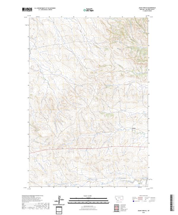
1967 Jeans Fork SE
Big Horn County, MT
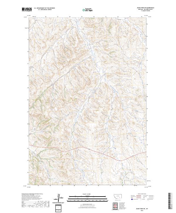
1967 Jeans Fork SW
Big Horn County, MT
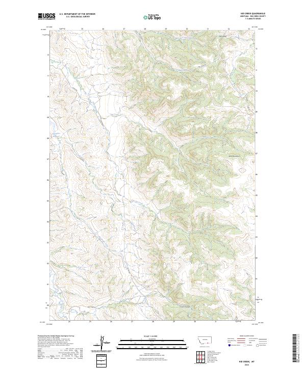
1967 Kid Creek
Big Horn County, MT
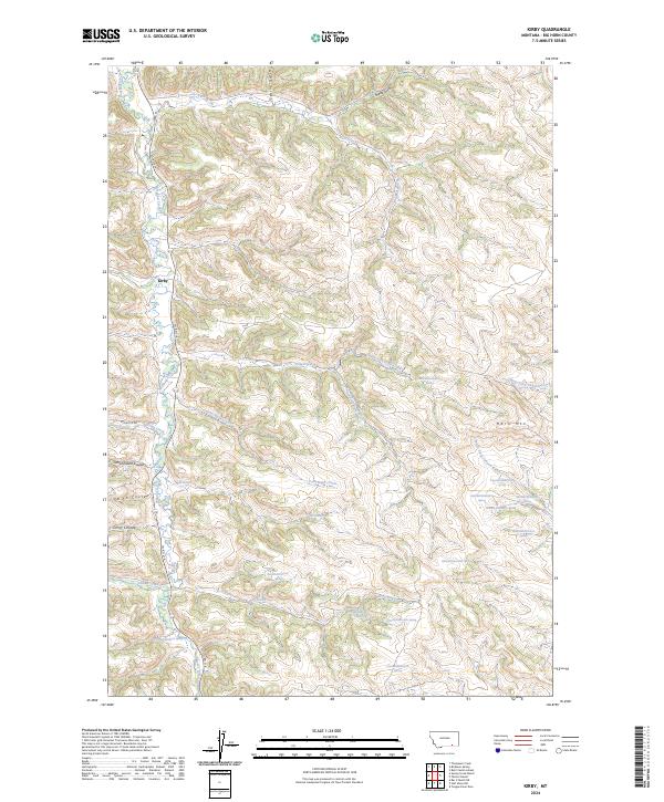
1967 Kirby
Big Horn County, MT
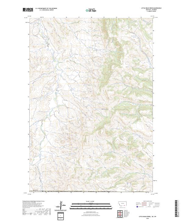
1967 Little Bear Creek
Big Horn County, MT
1967 Little Dry Creek
Big Horn County, MT
1967 Lodge Grass NE
Big Horn County, MT
1967 Pass Creek East
Big Horn County, MT
1967 Pass Creek West
Big Horn County, MT
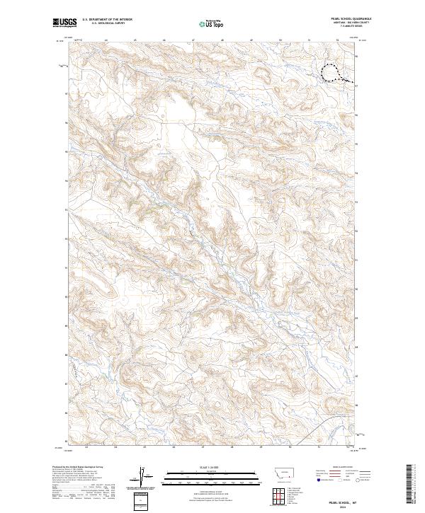
1967 Pearl School
Big Horn County, MT
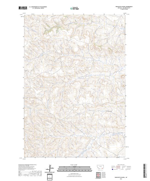
1967 Pine Butte School
Big Horn County, MT
1967 Section House Draw
Big Horn County, MT
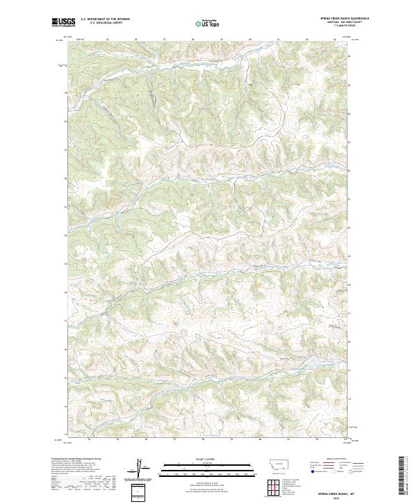
1967 Spring Creek Ranch
Big Horn County, MT
1967 Taintor Desert
Big Horn County, MT
1967 Thompson Creek
Big Horn County, MT
1967 Thompson Creek NW
Big Horn County, MT
1967 Tongue River Dam
Big Horn County, MT
1967 Wagon Box Spring
Big Horn County, MT
1967 Wolf Mountain Lookout
Big Horn County, MT
1967 Wyola NE
Big Horn County, MT
1968 Bear Coulee
Big Horn County, MT
1969 Bear Hole
Big Horn County, MT
1969 Bentonite Flats
Big Horn County, MT
1969 Black Gulch
Big Horn County, MT
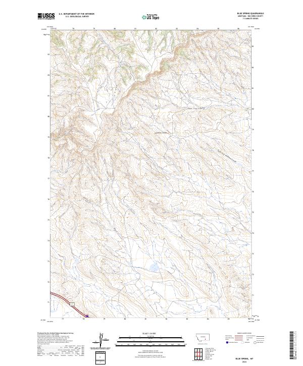
1969 Blue Spring
Big Horn County, MT
1969 Camp Four
Big Horn County, MT
1969 Corinth
Big Horn County, MT
1969 Dry Soap Creek
Big Horn County, MT
1969 Lemonade Springs
Big Horn County, MT
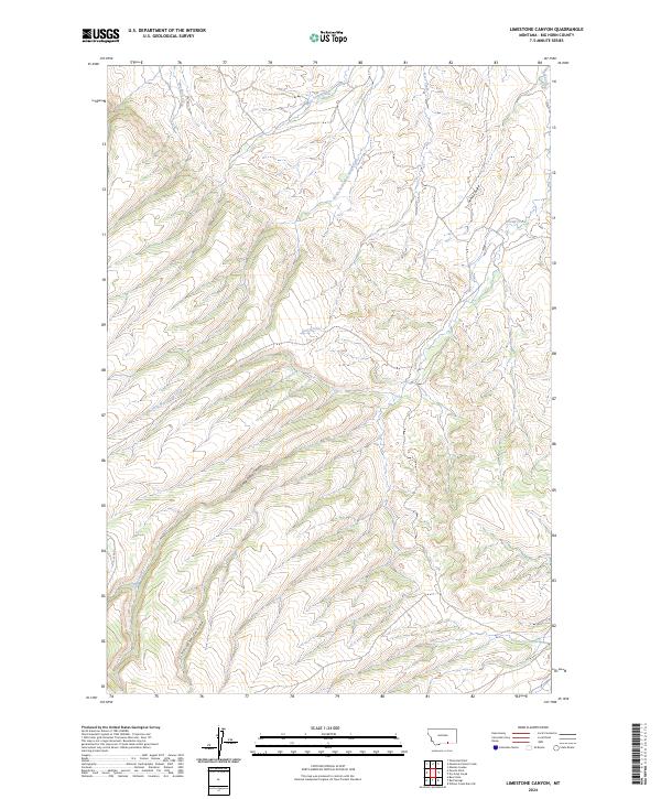
1969 Limestone Canyon
Big Horn County, MT
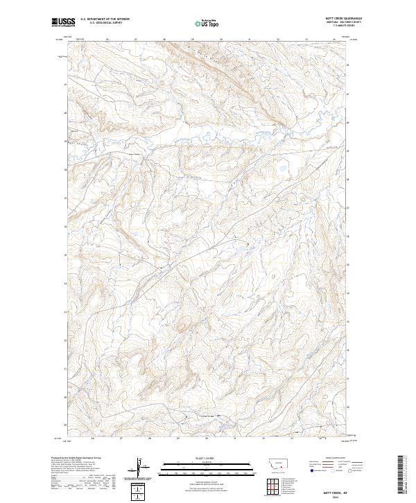
1969 Mott Creek
Big Horn County, MT
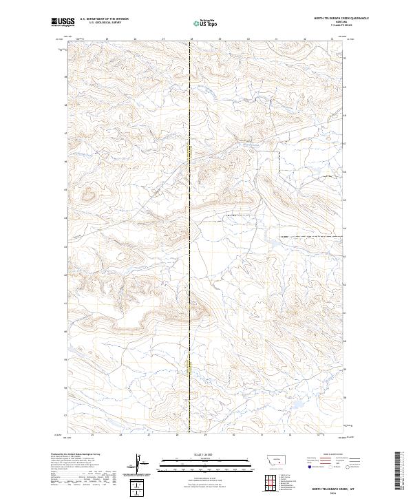
1969 North Telegraph Creek
Big Horn County, MT
1969 Red Springs
Big Horn County, MT
1969 Rowley
Big Horn County, MT
1969 Rowley NW
Big Horn County, MT
1969 Willow Creek Dam
Big Horn County, MT
1969 Willow Creek Dam SW
Big Horn County, MT
1969 Woody Creek Camp
Big Horn County, MT
1969 Woody Mountain SE
Big Horn County, MT
1971 Sarpy School
Big Horn County, MT
1972 Dudley Spring
Big Horn County, MT
1972 Forks Ranch
Big Horn County, MT
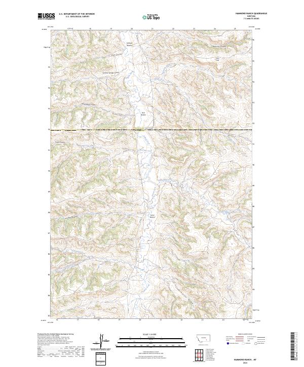
1972 Hammond Ranch
Big Horn County, MT
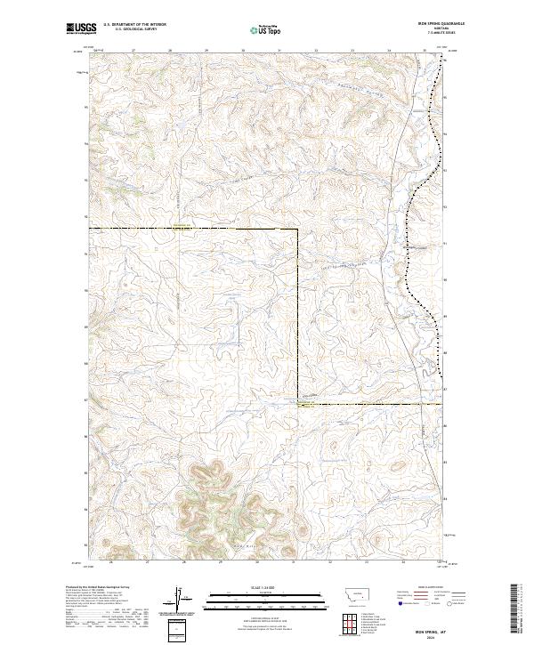
1972 Iron Spring
Big Horn County, MT
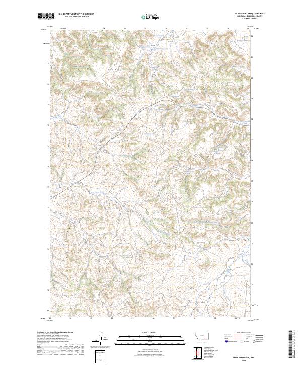
1972 Iron Spring SW
Big Horn County, MT
1972 Padlock Ranch
Big Horn County, MT
1972 Quietus
Big Horn County, MT
1972 The Dugout
Big Horn County, MT
1972 Wolf School
Big Horn County, MT
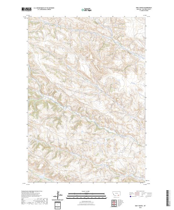
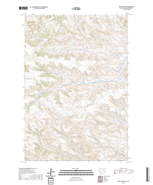
2024 Bar V Ranch
Big Horn County, MT
2024 Bar V Ranch NE
Big Horn County, MT
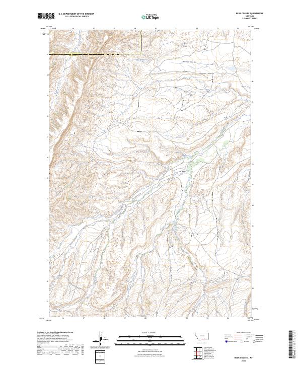
2024 Bear Coulee
Big Horn County, MT
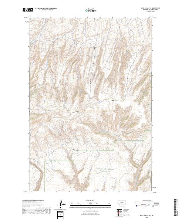
2024 Bear Coulee SW
Big Horn County, MT
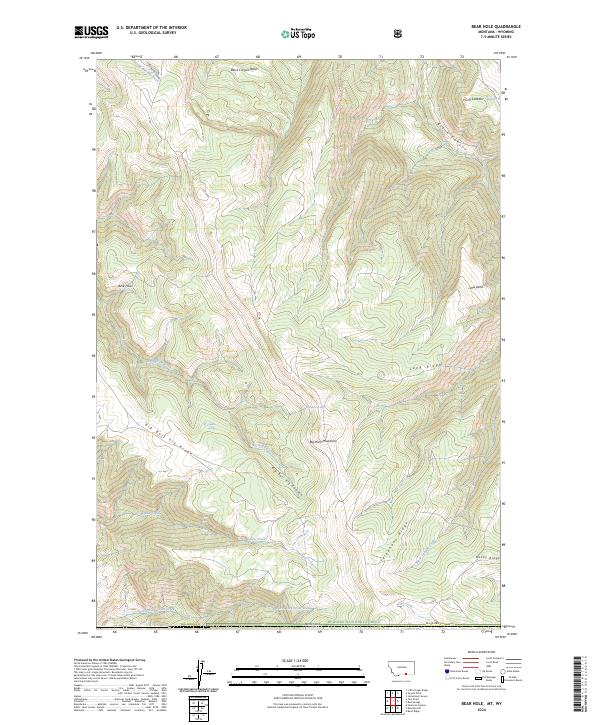
2024 Bear Hole
Big Horn County, MT
2024 Benteen
Big Horn County, MT
2024 Bentonite Flats
Big Horn County, MT
2024 Birdseye Spring
Big Horn County, MT
2024 Black Gulch
Big Horn County, MT
2024 Blue Spring
Big Horn County, MT
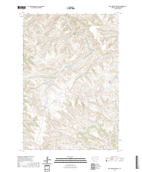
2024 Bull Creek Lookout
Big Horn County, MT
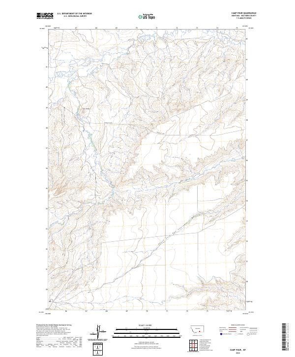
2024 Camp Four
Big Horn County, MT
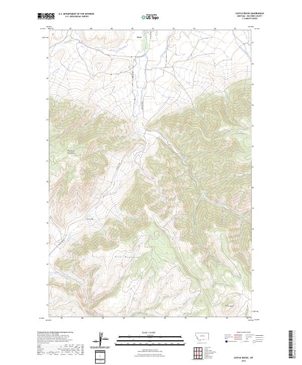
2024 Castle Rocks
Big Horn County, MT
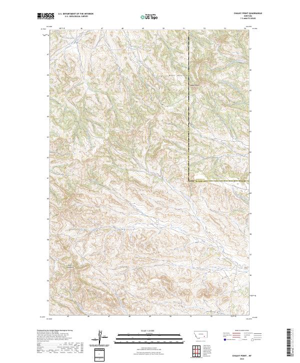
2024 Chalky Point
Big Horn County, MT
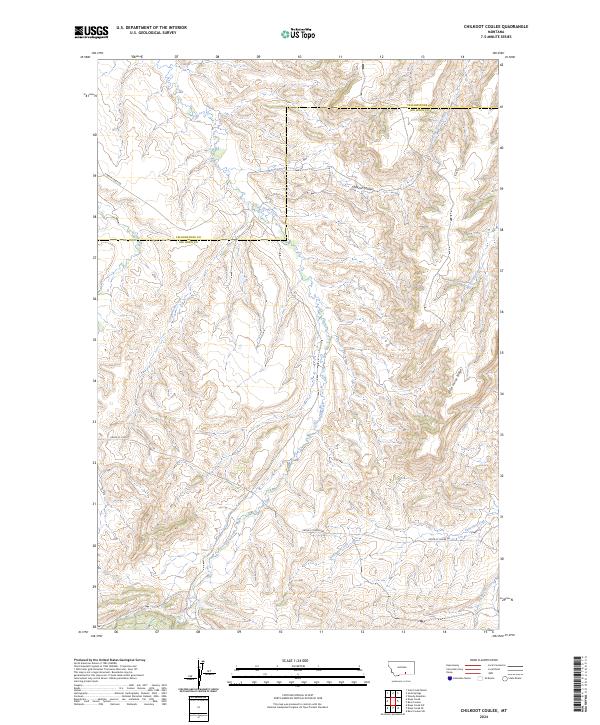
2024 Chilkoot Coulee
Big Horn County, MT
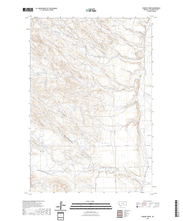
2024 Chimney Creek
Big Horn County, MT
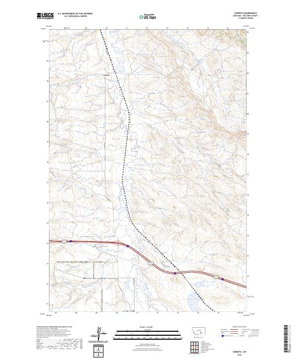
2024 Corinth
Big Horn County, MT
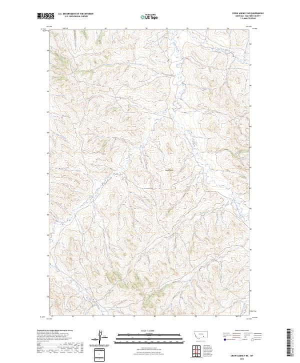
2024 Crow Agency NE
Big Horn County, MT
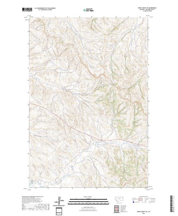
2024 Crow Agency SE
Big Horn County, MT
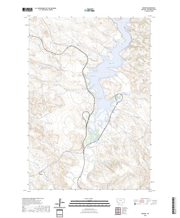
2024 Decker
Big Horn County, MT
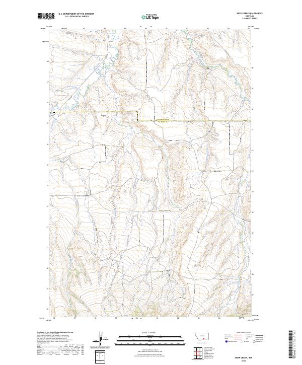
2024 Deep Creek
Big Horn County, MT
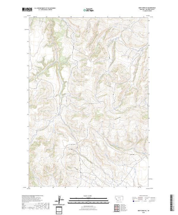
2024 Deep Creek SE
Big Horn County, MT
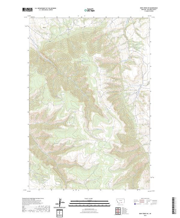
2024 Deep Creek SW
Big Horn County, MT
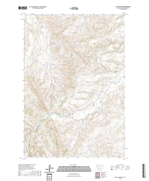
2024 Dry Soap Creek
Big Horn County, MT
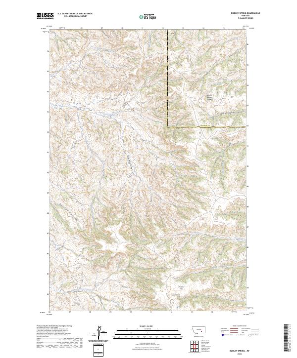
2024 Dudley Spring
Big Horn County, MT
2024 Forks Ranch
Big Horn County, MT
2024 Foster
Big Horn County, MT
2024 Good Luck Creek
Big Horn County, MT
2024 Grapevine Dome
Big Horn County, MT
2024 Half Moon Hill
Big Horn County, MT
2024 Hammond Ranch
Big Horn County, MT
2024 Hardin SW
Big Horn County, MT
2024 Hillsboro
Big Horn County, MT
2024 Holmes Ranch
Big Horn County, MT
2024 Iron Spring
Big Horn County, MT
2024 Iron Spring SW
Big Horn County, MT
2024 Jeans Fork NE
Big Horn County, MT
2024 Jeans Fork NW
Big Horn County, MT
2024 Jeans Fork SE
Big Horn County, MT
2024 Jeans Fork SW
Big Horn County, MT
2024 Kid Creek
Big Horn County, MT
2024 Kirby
Big Horn County, MT

2024 Lemonade Springs
Big Horn County, MT
2024 Lemon Ranch
Big Horn County, MT
2024 Limestone Canyon
Big Horn County, MT
2024 Little Bear Creek
Big Horn County, MT
2024 Little Dry Creek
Big Horn County, MT
2024 Little Finger Ridge
Big Horn County, MT
2024 Lodge Grass NE
Big Horn County, MT
2024 Mission Coulee
Big Horn County, MT
2024 Mott Creek
Big Horn County, MT
2024 Mountain Pocket Creek
Big Horn County, MT
2024 Ninemile Point
Big Horn County, MT
2024 North Telegraph Creek
Big Horn County, MT
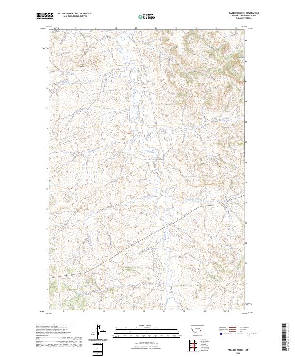
2024 Padlock Ranch
Big Horn County, MT
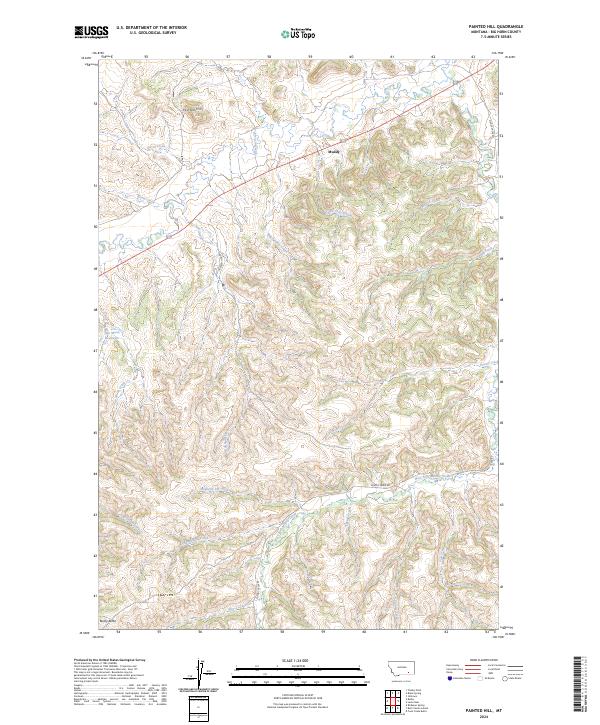
2024 Painted Hill
Big Horn County, MT
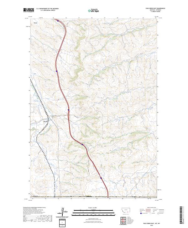
2024 Pass Creek East
Big Horn County, MT
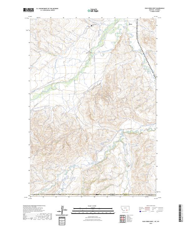
2024 Pass Creek West
Big Horn County, MT
2024 Pearl School
Big Horn County, MT
2024 Peyote Point
Big Horn County, MT
2024 Pine Butte School
Big Horn County, MT
2024 Prante Ranch
Big Horn County, MT
2024 Quietus
Big Horn County, MT
2024 Red Springs
Big Horn County, MT
2024 Rowley
Big Horn County, MT
2024 Rowley NW
Big Horn County, MT
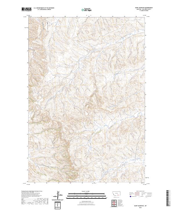
2024 Saint Xavier
Big Horn County, MT
2024 Saint Xavier NE
Big Horn County, MT
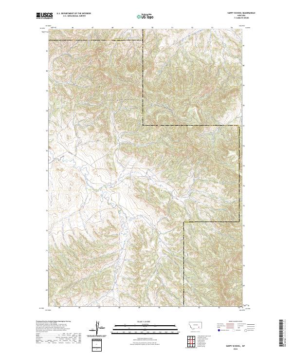
2024 Sarpy School
Big Horn County, MT
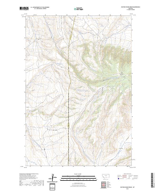
2024 Section House Draw
Big Horn County, MT
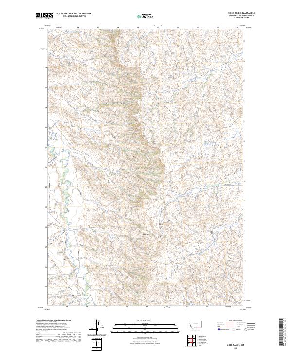
2024 Shick Ranch
Big Horn County, MT
2024 Spring Creek Ranch
Big Horn County, MT
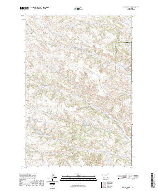
2024 Taintor Desert
Big Horn County, MT
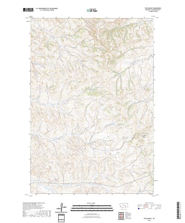
2024 The Dugout
Big Horn County, MT
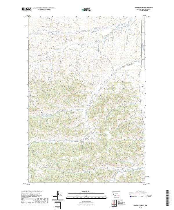
2024 Thompson Creek
Big Horn County, MT
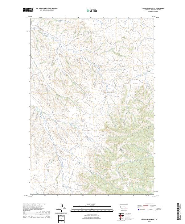
2024 Thompson Creek NW
Big Horn County, MT
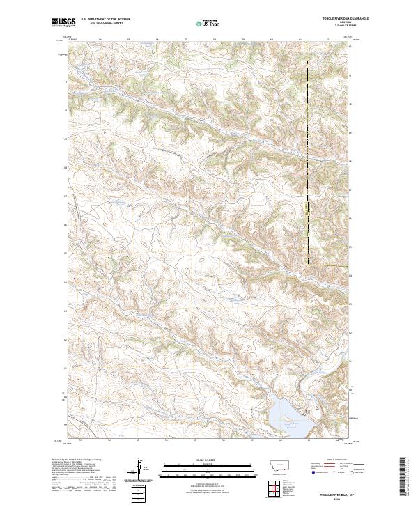
2024 Tongue River Dam
Big Horn County, MT
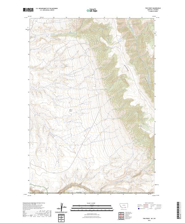
2024 Two Point
Big Horn County, MT
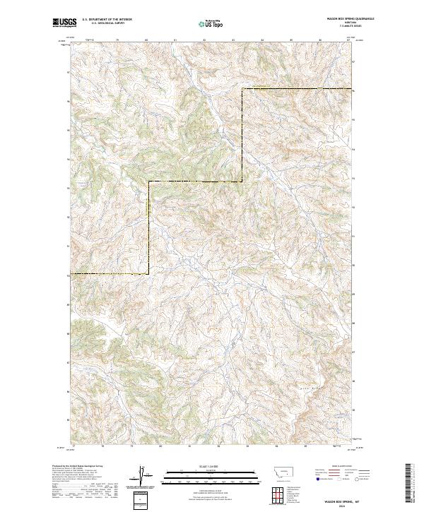
2024 Wagon Box Spring
Big Horn County, MT
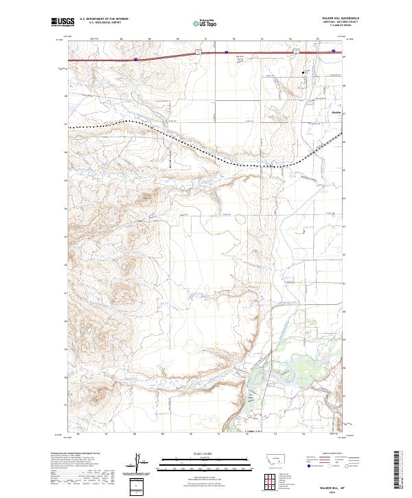
2024 Walker Hill
Big Horn County, MT
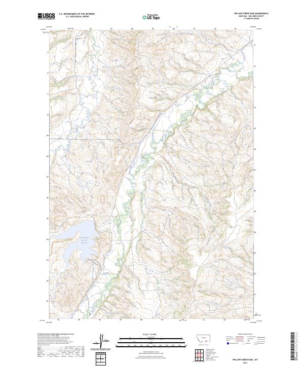
2024 Willow Creek Dam
Big Horn County, MT
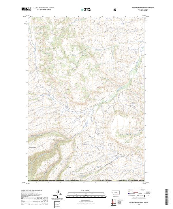
2024 Willow Creek Dam SW
Big Horn County, MT
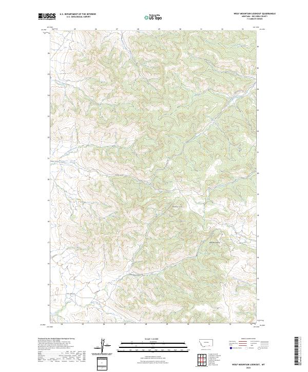
2024 Wolf Mountain Lookout
Big Horn County, MT
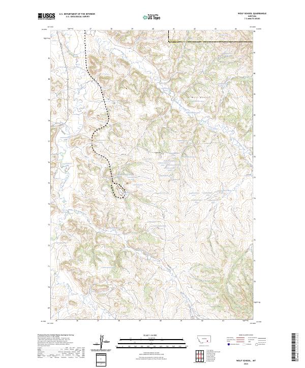
2024 Wolf School
Big Horn County, MT
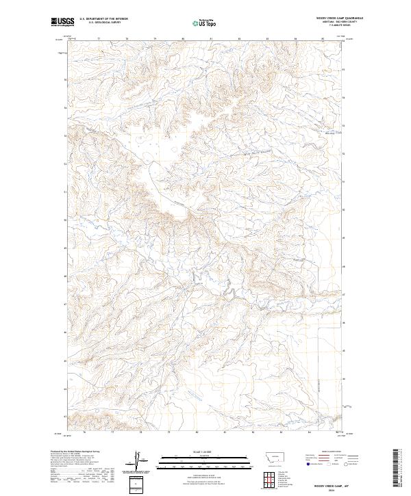
2024 Woody Creek Camp
Big Horn County, MT
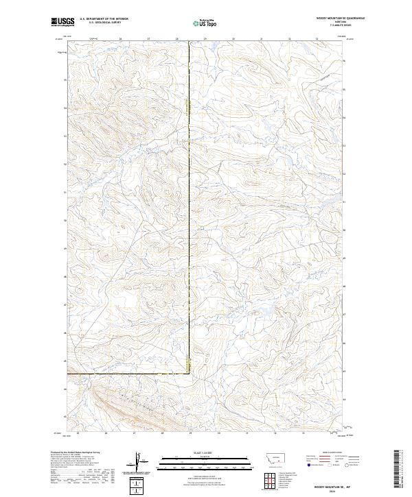
2024 Woody Mountain SE
Big Horn County, MT

2024 Wyola NE
Big Horn County, MT
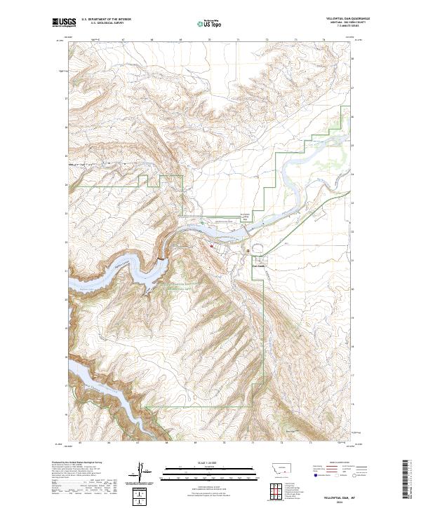
2024 Yellowtail Dam
Big Horn County, MT