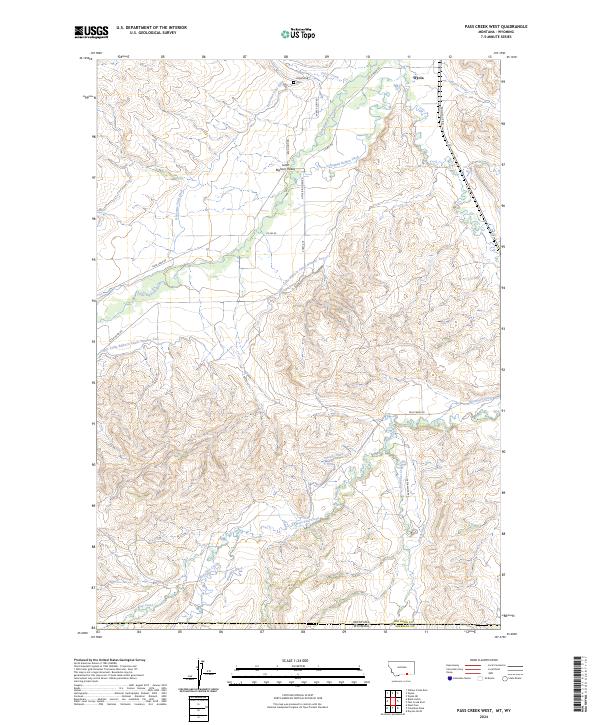
2024 Map of Pass Creek West
USGS Topo · Published 2024About this map
The Little Bighorn River and its intricate network of irrigation channels define the landscape along the Montana-Wyoming border. This modern survey illustrates the vital water management systems that support the Little Bighorn Valley, including engineered features like the Bozeman Trail Ditch, Campbell Belken Ditch, and the extensive Upper Little Bighorn Canal Number Two. These waterways reflect the agricultural lifeblood of the region, where water rights and cattle ranching have long shaped the settlement patterns near Wyola.
Find a feature on this map
33 named features on this map. Tap any name to fly to it.
Don’t see what you’re looking for? This feature index may not catch every label — zoom into the map to look around manually.
Map Details
Editions of this 2024 Pass Creek West Map
This is the sole edition of this map. No revisions or reprints were ever made.
Other maps of this area

1894 · Rosebud
USGS Topo · 1:125,000

1894 · St. Xavier
USGS Topo · 1:125,000

1895 · Dayton
USGS Topo · 1:125,000

1898 · Bald Mountain
USGS Topo · 1:125,000

1901 · Rosebud
USGS Topo · 1:125,000

1901 · Dayton
USGS Topo · 1:125,000

1901 · St. Xavier
USGS Topo · 1:125,000

1901 · Bald Mountain
USGS Topo · 1:125,000

1954 · Hardin
USGS Topo · 1:250,000

1955 · Sheridan
USGS Topo · 1:250,000