
1901 Map of Bald Mountain
USGS Topo · Published 1901About this map
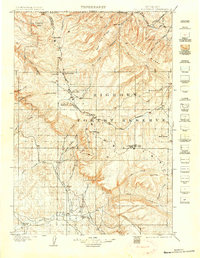
The Big Horn Forest Reserve dominates this 1901 survey, capturing the rugged interior of the Bighorn Mountains at the turn of the century. The map highlights the early industrial footprint in this high-altitude wilderness, specifically the Fortunatus Mill located north of Bald Mountain. The presence of such a facility deep in the range, surrounded by peaks like Medicine Mt. and Hunt Mt., indicates the late nineteenth-century push for mineral extraction in northern Wyoming.
Find a feature on this map
66 named features on this map. Tap any name to fly to it.
Don’t see what you’re looking for? This feature index may not catch every label — zoom into the map to look around manually.
Map Details
Editions of this 1901 Bald Mountain Map
4 editions found
Other maps of this area

1894 · Rosebud
USGS Topo · 1:125,000

1894 · St. Xavier
USGS Topo · 1:125,000

1895 · Dayton
USGS Topo · 1:125,000

1898 · Bald Mountain
USGS Topo · 1:125,000

1899 · Cloud peak
USGS Topo · 1:125,000

1901 · Rosebud
USGS Topo · 1:125,000

1901 · Cloud Peak
USGS Topo · 1:125,000

1901 · Dayton
USGS Topo · 1:125,000

1901 · St. Xavier
USGS Topo · 1:125,000

1954 · Billings
USGS Topo · 1:250,000