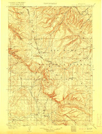
1901 Map of Bald Mountain
USGS Topo · Published 1917About this map
Big Horn National Forest dominates this northern Wyoming landscape as it appeared just after the turn of the century. The terrain is defined by a series of high-altitude peaks and basins, including Medicine Mtn, Bald Mountain, and the broad drainage of the Little Bighorn River. Early commercial and residential footprints are sparse but significant, with Tompkins Mill located near the headwaters of Lodgegrass Creek and the settlement of Cloverly positioned in the western lowlands.
Find a feature on this map
40 named features on this map. Tap any name to fly to it.
Don’t see what you’re looking for? This feature index may not catch every label — zoom into the map to look around manually.
Map Details
Editions of this 1901 Bald Mountain Map
4 editions found
Other maps of this area

1894 · Rosebud
USGS Topo · 1:125,000

1894 · St. Xavier
USGS Topo · 1:125,000

1895 · Dayton
USGS Topo · 1:125,000

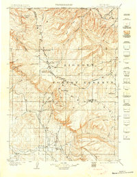
1898 · Bald Mountain
USGS Topo · 1:125,000

1899 · Cloud peak
USGS Topo · 1:125,000

1901 · Rosebud
USGS Topo · 1:125,000

1901 · Cloud Peak
USGS Topo · 1:125,000

1901 · Dayton
USGS Topo · 1:125,000

1901 · St. Xavier
USGS Topo · 1:125,000

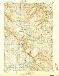
1901 · Bald Mountain
USGS Topo · 1:125,000