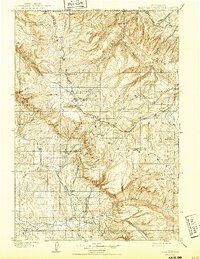
1901 Map of Bald Mountain
USGS Topo · Published 1943About this map
Bighorn National Forest dominates this turn-of-the-century topographic record, which documents the high-altitude terrain near the Wyoming Montana Boundary Line as surveyed by Frank Tweedy in 1898. The landscape is defined by the headwaters of major drainages, including the West Fork Little Bighorn River and the North Fork Tongue River, where the elevation changes create features like Little Ledge Falls.
Find a feature on this map
38 named features on this map. Tap any name to fly to it.
Don’t see what you’re looking for? This feature index may not catch every label — zoom into the map to look around manually.
Map Details
Editions of this 1901 Bald Mountain Map
4 editions found
Other maps of this area

1894 · Rosebud
USGS Topo · 1:125,000

1894 · St. Xavier
USGS Topo · 1:125,000

1895 · Dayton
USGS Topo · 1:125,000

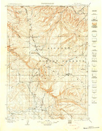
1898 · Bald Mountain
USGS Topo · 1:125,000

1899 · Cloud peak
USGS Topo · 1:125,000

1901 · Rosebud
USGS Topo · 1:125,000

1901 · Cloud Peak
USGS Topo · 1:125,000

1901 · Dayton
USGS Topo · 1:125,000

1901 · St. Xavier
USGS Topo · 1:125,000

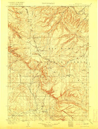
1901 · Bald Mountain
USGS Topo · 1:125,000