
1967 Map of Kid Creek
USGS Topo · Published 1971About this map
The Wolf Mountains dominate the eastern landscape of this Big Horn County region, rising sharply above the complex drainage systems that define the area. In the late 1960s, this terrain remained largely characterized by ranching and small-scale private aviation, evidenced by the presence of Millers Ranch and a neighboring Landing Strip. The map illustrates a dense network of seasonal and perennial waterways, including the headwaters of Kid Creek and Owl Creek, which carve deep into the high ridges. At the northern edge, Sioux Pass serves as a critical geographic marker where the North Fork Sioux Pass Creek begins its descent. Traces of local resource extraction and water management are found in the Gravel Pit and Steinhilber Reservoir, reflecting the practical infrastructure required for remote mountain living.
Find a feature on this map
17 named features on this map. Tap any name to fly to it.
Don’t see what you’re looking for? This feature index may not catch every label — zoom into the map to look around manually.
Map Details
Editions of this 1967 Kid Creek Map
This is the sole edition of this map. No revisions or reprints were ever made.
Other maps of this area

1894 · Rosebud
USGS Topo · 1:125,000

1901 · Rosebud
USGS Topo · 1:125,000

1954 · Hardin
USGS Topo · 1:250,000

1957 · Hardin
USGS Topo · 1:250,000

1958 · Hardin
USGS Topo · 1:250,000

1967 · Wolf Mountain Lookout
USGS Topo · 1:24,000

1967 · Bar V Ranch NE
USGS Topo · 1:24,000
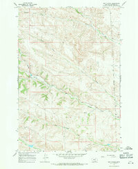
1967 · Bar V Ranch
USGS Topo · 1:24,000
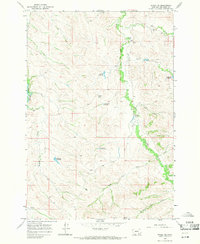
1967 · Wyola NE
USGS Topo · 1:24,000
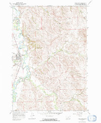
1967 · Lodge Grass
USGS Topo · 1:24,000