
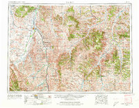
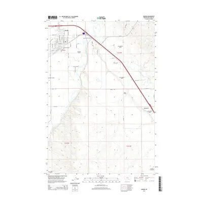
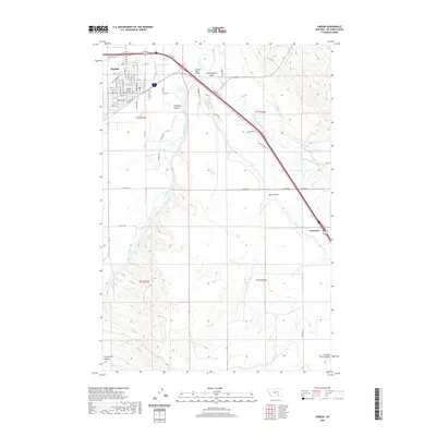
1958 Map of Hardin
USGS Topo · Published 1958About this map
The Custer Battlefield National Monument and Custer National Cemetery and Museum serve as the focal point of this mid-century survey, documenting the commemorative landscape of the Little Bighorn valley. This map details the expansive lands of the Crow Indian Reservation and Tongue River Indian Reservation, illustrating the complex intersection of indigenous territory and regional development in southeastern Montana.
Find a feature on this map
55 named features on this map. Tap any name to fly to it.
Don’t see what you’re looking for? This feature index may not catch every label — zoom into the map to look around manually.
Map Details
Editions of this 1958 Hardin Map
This is the sole edition of this map. No revisions or reprints were ever made.
Historical Maps of Hardin Through Time
10 maps found
1954 Hardin
Big Horn County, MT

1957 Hardin
Big Horn County, MT
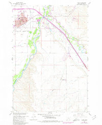
1958 Hardin
Big Horn County, MT
1960 Hardin
Big Horn County, MT
1981 Hardin
Big Horn County, MT
2011 Hardin
Big Horn County, MT
2014 Hardin
Big Horn County, MT

2017 Hardin
Big Horn County, MT
2020 Hardin
Big Horn County, MT
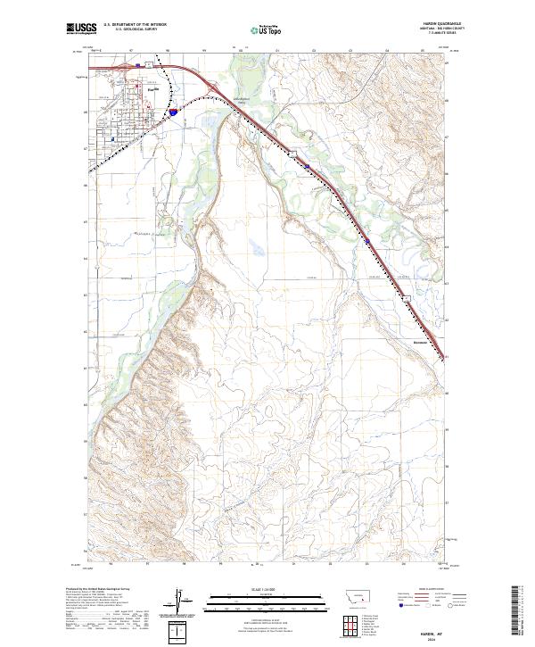
2024 Hardin
Big Horn County, MT