
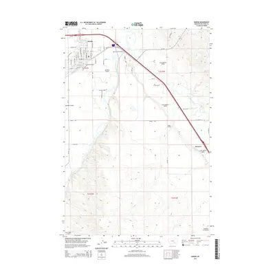
1957 Map of Hardin
USGS Topo · Published 1957About this map
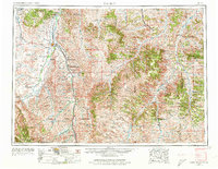
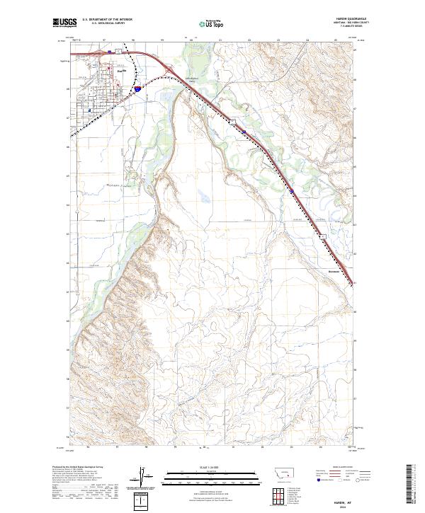
The National Cemetery and Custer Battlefield Monument stands as a central historical landmark on this mid-century survey of southeastern Montana. The landscape is dominated by the vast territories of the Crow Indian Reservation and the Northern Cheyenne Indian Reservation, where the drainage of the Bighorn River, Little Bighorn River, and Tongue River dictate the patterns of settlement. The Chicago Burlington and Quincy RR provides a critical transport spine, connecting communities like Hardin, Lodge Grass, and Wyola. Beyond the river valleys, the terrain rises into the Wolf Mountains and Pine Ridge, showcasing the complex topography of the Custer National Forest. Small ranching and tribal outposts such as Birney, Busby, and St. Xavier are documented during a period of established reservation life and emerging water management, visible at the Lodge Grass Storage Reservoir.
Find a feature on this map
52 named features on this map. Tap any name to fly to it.
Don’t see what you’re looking for? This feature index may not catch every label — zoom into the map to look around manually.
Map Details
Editions of this 1957 Hardin Map
This is the sole edition of this map. No revisions or reprints were ever made.
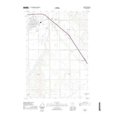
Historical Maps of Hardin Through Time
10 maps found
1954 Hardin
Big Horn County, MT
1957 Hardin
Big Horn County, MT

1958 Hardin
Big Horn County, MT
1960 Hardin
Big Horn County, MT
1981 Hardin
Big Horn County, MT
2011 Hardin
Big Horn County, MT
2014 Hardin
Big Horn County, MT

2017 Hardin
Big Horn County, MT
2020 Hardin
Big Horn County, MT
2024 Hardin
Big Horn County, MT