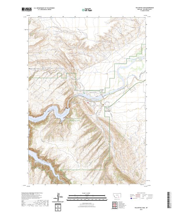
2024 Map of Yellowtail Dam
USGS Topo · Published 2024About this map
Fort Smith serves as the primary settlement hub in this transition from the open plains to the dramatic geology of the Bighorn Canyon National Recreation Area. The landscape is dominated by the artificial impoundment of Bighorn Lake and the managed flow of the Bighorn River, which feeds the Big Horn Canal to the northeast. Historical transit is etched into the terrain via the Bozeman Trl, a route of immense significance for 19th-century westward expansion, running south of the modern township.
Find a feature on this map
31 named features on this map. Tap any name to fly to it.
Don’t see what you’re looking for? This feature index may not catch every label — zoom into the map to look around manually.
Map Details
Editions of this 2024 Yellowtail Dam Map
This is the sole edition of this map. No revisions or reprints were ever made.
Other maps of this area

1894 · St. Xavier
USGS Topo · 1:125,000

1901 · St. Xavier
USGS Topo · 1:125,000

1915 · Spenceville
USGS Topo · 1:31,680

1954 · Billings
USGS Topo · 1:250,000

1954 · Hardin
USGS Topo · 1:250,000

1957 · Hardin
USGS Topo · 1:250,000

1957 · Billings
USGS Topo · 1:250,000

1958 · Billings
USGS Topo · 1:250,000

1958 · Hardin
USGS Topo · 1:250,000

1964 · Peyote Point
USGS Topo · 1:24,000