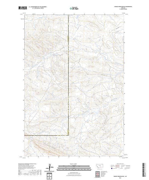
2024 Map of Woody Mountain SE
USGS Topo · Published 2024About this map
Big Horn and Yellowstone counties meet along a high, drainage-etched landscape in this contemporary topographic record. The terrain is defined by the prominent Wild Horse Ridge, which serves as a major watershed divide in the southern reaches of the map. This elevation gives rise to several converging water systems, most notably the winding paths of Big Woody Creek and the intricate network of Little Woody Creek. Higher to the north, the headwaters of Fly Creek and Woody Creek further illustrate the seasonal hydrology of this Montana boundary region. The map provides a clear picture of the modern land divisions and natural flow lines where these two counties intersect, reflecting the persistent rural character of the high plains.
Find a feature on this map
6 named features on this map. Tap any name to fly to it.
Don’t see what you’re looking for? This feature index may not catch every label — zoom into the map to look around manually.
Map Details
Editions of this 2024 Woody Mountain SE Map
This is the sole edition of this map. No revisions or reprints were ever made.
Other maps of this area

1893 · Huntley
USGS Topo · 1:125,000

1894 · St. Xavier
USGS Topo · 1:125,000

1894 · Fort Custer
USGS Topo · 1:125,000

1901 · St. Xavier
USGS Topo · 1:125,000

1915 · Spenceville
USGS Topo · 1:31,680

1954 · Billings
USGS Topo · 1:250,000

1954 · Hardin
USGS Topo · 1:250,000

1957 · Hardin
USGS Topo · 1:250,000

1957 · Billings
USGS Topo · 1:250,000

1958 · Billings
USGS Topo · 1:250,000